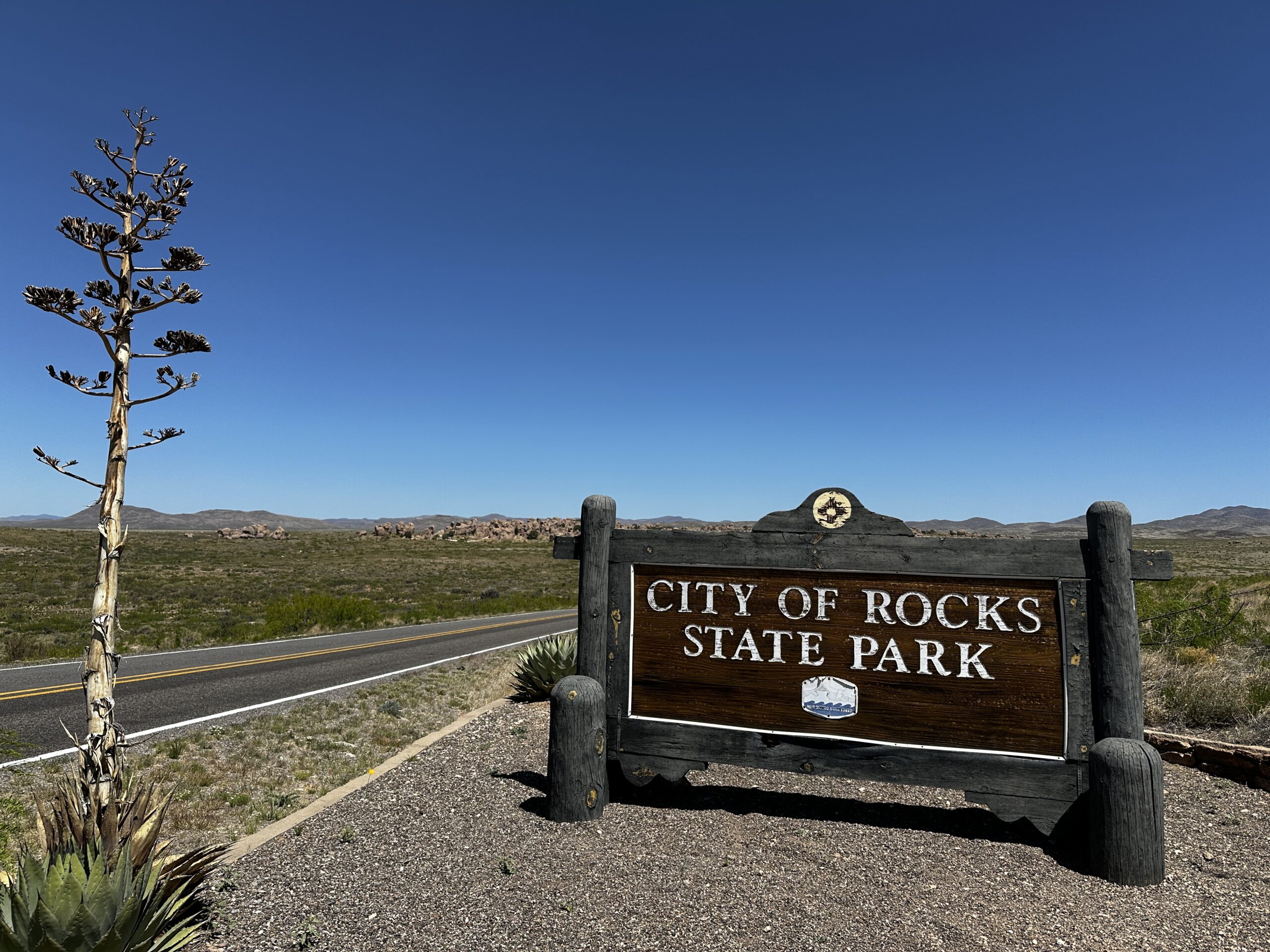
We were surrounded by the high desert as we climbed the park entrance road. Then as we reached the high point enormous rocks rose out of the desert floor. There was nothing else around like them. Why were they here? How had they formed? We were only visiting for the day to ride our bikes and climb Table Mountain we had no idea of the City of Rocks we were about to discover!
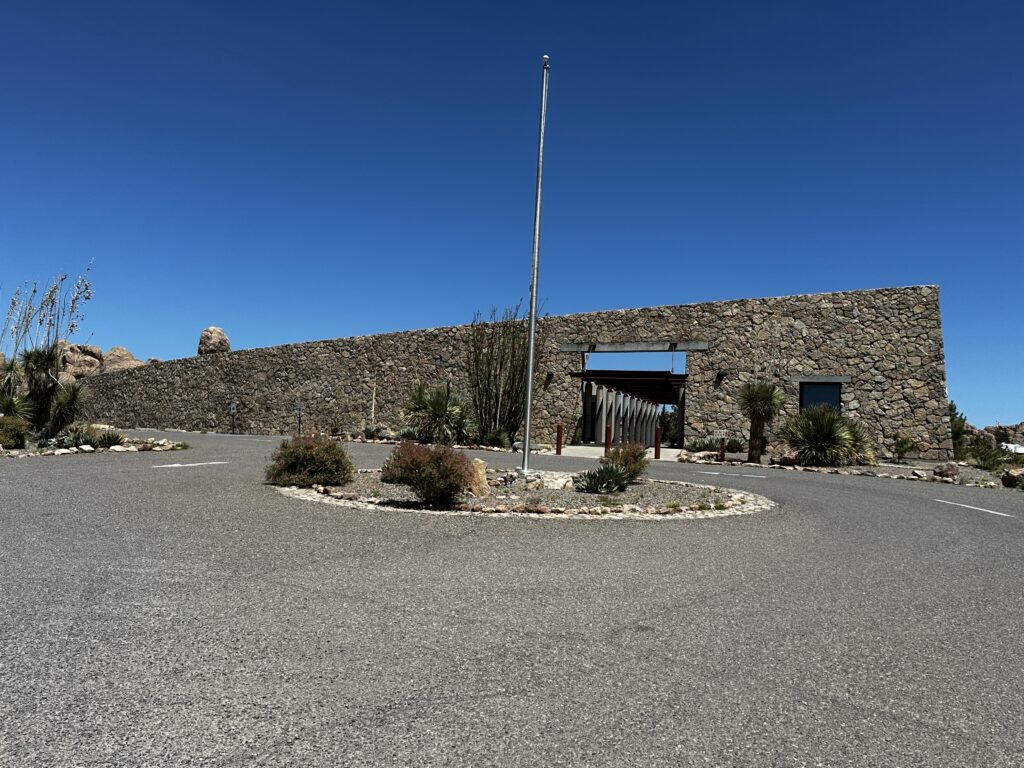
As we continued driving into the park we were at first confused by this amazing structure. It blended naturally into the uniqueness of the rock formations. We decided to stop and explore. To our delight it was the visitor center. A volunteer working behind the welcome desk greeted us and offered us maps and information about the park.
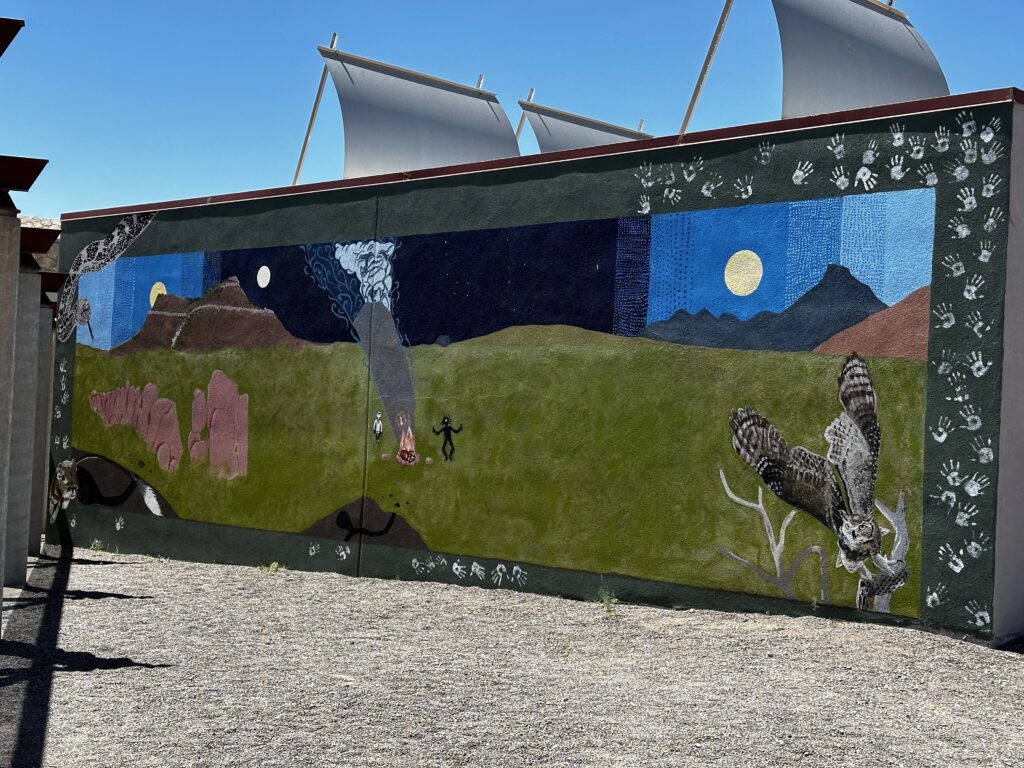
Information filled the visitor center. It had murals and boards describing the formation of City of Rocks, as well as literature and examples of local flora and fauna. The displays explaining Mimbres artifacts, tools, and history were informative and interesting. A short video talking about the park and park’s formation is available to view.
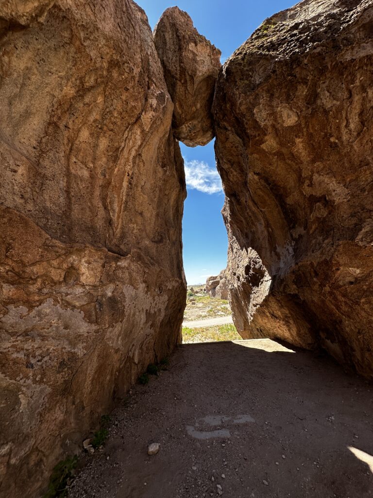
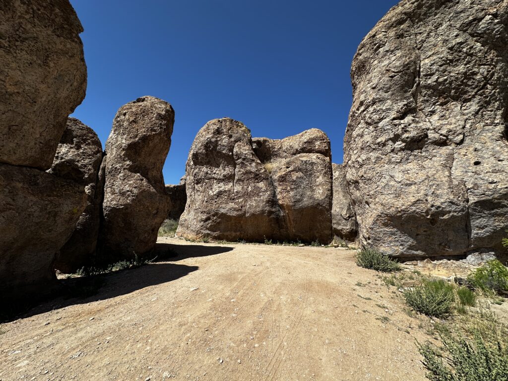
We added exploring the rocks to our list of things to do during our visit. After a few minutes in the rocks we understood what City of Rocks means. It’s easy to imagine yourself walking down streets and ally ways surrounded by tall buildings and courtyards. These “buildings” are unique and magnificent. We explored them with wonder and the excitement of seeing something new for the very first time. We were hooked!
Formation of City of Rocks
Almost 35 million years ago an enormous volcano over fifty miles from the park’s location, erupted for months and maybe even years. Scientists have predicted that the eruption was one thousand times greater than the Mt. St. Helens eruption, which I remember well. I was in grade school and a classmate had family who lived in the Mt. St. Helens area. Discussion about volcanic eruptions became our science, natural history, and geography lessons for the ensuing weeks. His family was fine, and mailed a container of ash to him. The ash had fallen in their yard in the days following the eruption. We were all amazed. That was the beginning of my interest in anything relating to rocks!
Ash fallout is what created the City of Rocks. During the main phase of the eruption a large vent formed quickly releasing volcanic material. It resulted in a huge super heated cloud of ash. The heat caused this material to meld together and form the dense rocks we see today. As the volcanic material cooled it shrunk and formed cracks. Years of wind and weathering have left us with what we see today.
This is a unique situation which is only know to occur in six other places in the world. In millions of years from now there may be no City of Rocks, however new still undiscovered Cities of Rocks may rise in other locations and take their place.
Camping at City of Rocks
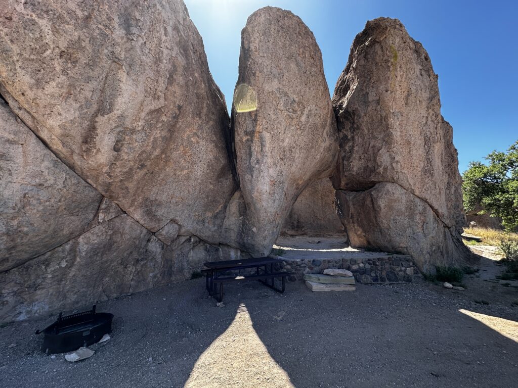
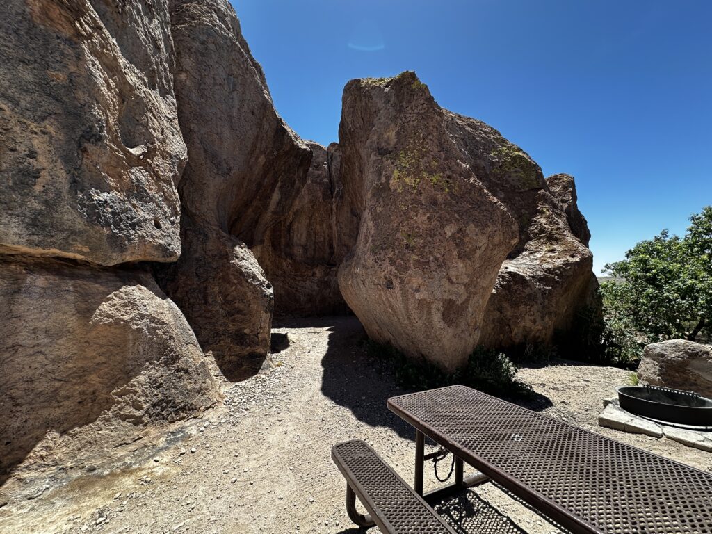
Forty-five primitive campsites are scattered throughout the rocks. Each equipped with a picnic table and fire pit. An additional ten sites, several of which are pull through, have power and water hook-ups. These sites additionally have covered picnic tables and fire rings. Most of the sites are available to be booked through Reserve America. However, there are still a few first come first serve. Primitive sites 40-45 and Electric sites E-1 thru E-6 are all first come first serve, can be occupied for fourteen consecutive days, and fill up quickly.
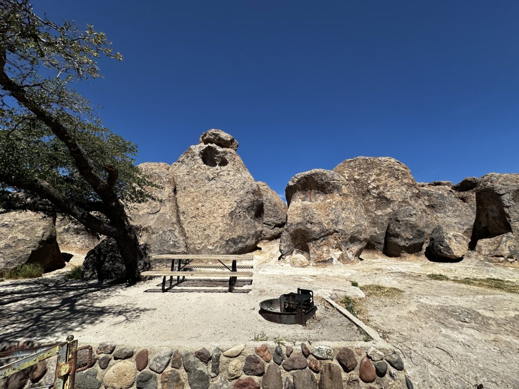
Each site is special with its own character. There are nooks and crannies which provide interesting places to set-up your RV’s or tents. Many sites are a challenge to find that perfect level spot, but once you do you’re in for a treat. Climbing and exploring begins as soon as you step out of your door.
If you are considering a stay in the park and have an RV longer than 25′ I would recommend calling the park. The Visitors center can assist with information pertaining to sites which can accommodate your size RV. Dogs are welcome in the park and on all trails with the requirement that owners pick-up poop and keep their pet on a 6′ leash.
Amenities at City of Rocks
We have talked about the top-notch visitors center and unique camping opportunities. There is a nicely maintained restroom and bathhouse opposite the visitor center. It provides two showers in each restroom and are open 24 hours. In addition, there are many well maintained pit toilet that are scattered throughout the park. There is a water source in a central location for anyone to use.
This park has no-dump station, however there are two free locations both about thirty miles in either direction of the park. A pay dump location is just a few miles down the road at Faywood Hot Springs.
There are group areas, hiking and biking trails, picnic areas and a cacti garden.
Mimbres
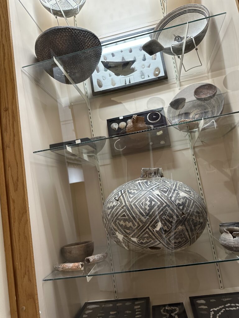
Photo from Deming Luna Mimbres Museum
Long before colonists had arrived in the New World the Mimbres people called this area home. The Mimbres were considered a tribe of the Mogollon peoples. They are believed to have occupied this area until 1250 AD. Many lived in small villages along the streams which they used to irrigate their farmlands. Their primary crops included corn, squash, and beans which were know to many indigenous people as the ‘Three Sisters”, because the plants nurture each other like family when planted together. Additionally conditions allowed them to grow cotton.
Mimbres people are known for their distinctive Black on White pottery. Their designs were often geometric, but many include figurative designs of animals, people, and mystical creatures engaged in typical behaviors. Most pottery was for daily use and in funeral customs. Many of the dead were buried with a bowl placed over their heads. The bowls had a hole in the center, referred to as a kill hole, and there has been much research into their purpose. Because of the enormous amount of looting and desecration of burial sites museums no longer consider these bowls suitable for public display.
Colonial History
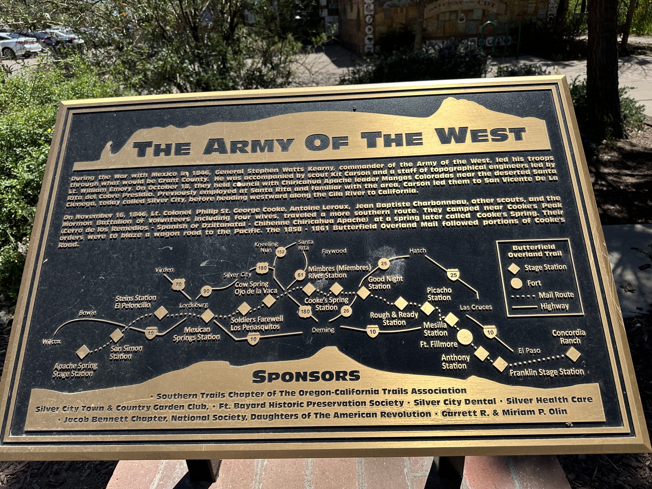
Colonist were the next to settle in the area when they began to mine copper at the Santa Rita mine in 1804. During the Mexican-American war, 1846-1847, new routes were created stretching from the Eastern United States trading route through to California. Captain Philip St. George Cooke led a Mormon battalion on an expedition which established a primary route just a few miles south of the park. Cookes peak, named after the captain, is one of my favorite views every morning when I wake up!
In 1857 congress hired John Butterfield to run a mail route along the southern territories for mail service. This route was called the Butterfield Overland Mail Route and began in 1858. This route benefited from being in the south and was passable year round. Following parts of Cooke’s earlier route this path brought many travelers through the area. in 1861 the service ended because of the Civil War.
The next phase of settlers were many soldiers at military forts. They were established in the area to protect settlers from unhappy native peoples as well as to protect miners from would be thieves and outlaws. Bands of Apaches raided settlements. They believed this land was theirs to use and therefore were welcomed to its resources.
Geronimo, a famous Apache leader and medicine man, roamed this area until he was captured. forced to travel the country as an example of what would happen to native people who did not choose to live in the designated reservation areas.
Railroad Era
Railroads reached Deming, the town thirty miles south, in 1881 truly opening up the area for expansion and development. There was a complicated dance between the primary railroad companies and the many smaller independent railroads throughout the area. Many were swallowed up as the larger companies pushed for control of one of the most important rail routes.
Just a couple miles south of the park a Civil War Colonel purchased a homestead which included a mineral hot spring. This became one of the most famous western resort spas. Today Faywood Hot springs is privately owned and still a destination for many.
Chihuahuan Desert
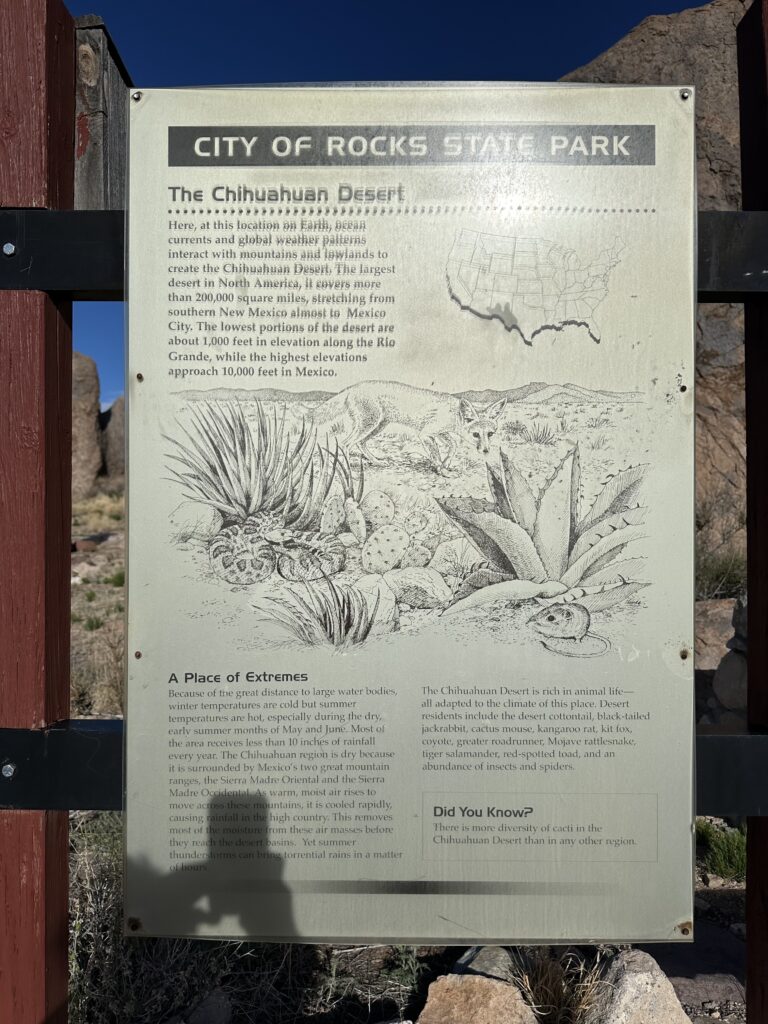
The Chihuahuan desert is the largest desert in North America covering 200,000 square miles. Elevations range from 1000′ near the Rio Grand to over 10000′ in the mountains of Mexico. It stretches from Texas, through New Mexico and to Arizona with the majority of it located in Northern Mexico. The Chihuahuan desert includes many mountain ranges, grasslands, forests, savannas and plateau regions.
The Chihuahuan desert receives more monsoon summer rains than either the Sonoran or the Mojave deserts. It also has colder winters. This has allowed an eco-system which is unique and biologically diverse to develop. The Chihuahuan desert has over 3500 plant species as well as a quarter of the world’s cactus species with many of the plant species only growing in this location. In addition to its abundant flora the fauna is as amazing. Over four hundred bird species and three hundred species of reptiles, amphibians, and mammals. Incredibly, hundreds of fish species are also found, many of which are only located in remote, isolated places.
White Sands National Park is a close neighbor to City of Rocks. White Sands is known for its incredible white gypsum dunes and is part of the Chihuahuan desert. In addition, limestone formations, with potash and igneous rock are prevalent. Making the City of Rocks another unique and incredible addition to the Chihuahuan desert.
Parry’s Agave
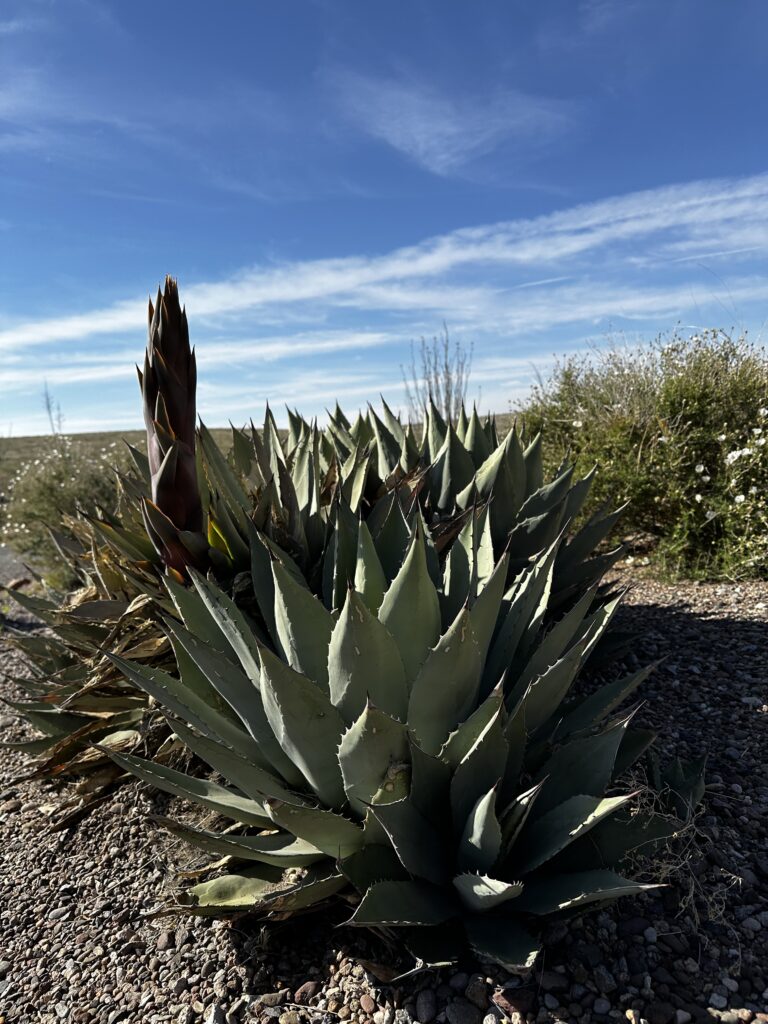
Also known as a Century plant (which is a misnomer, they do not live for a hundred years) the Mescal agave is a slow growing succulent native to the Southwestern US. One of the most interesting things I have learned in our desert exploration is that when an agave flowers it is the end of its lifespan. Surprisingly agave belongs to the asparagus family and, as you can see in the photo above an asparagus like stalk is emerging from the plant.
These plants can live for many years depending on type. There are more than two hundred varieties of agave growing throughout the world. The stalks can grow up to thirty feet tall and are an impressive site to see when we are hiking through the desert. The agave plants produce offsets and it is common to see new plants growing from under the flowered and decaying parent plant.
Bird of Paradise
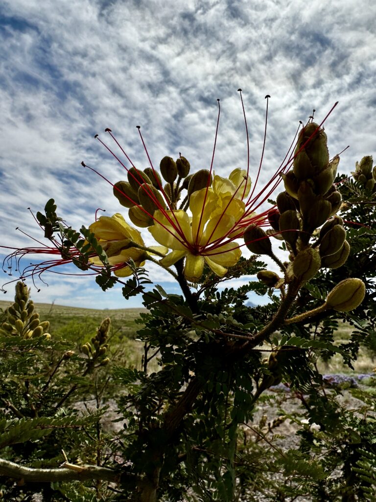
Bird of Paradise is a species of Caesalpinia, which is a perennial evergreen shrub. It’s beautiful summer flowers attract bees and hummingbirds.
Strawberry Hedgehog Cactus
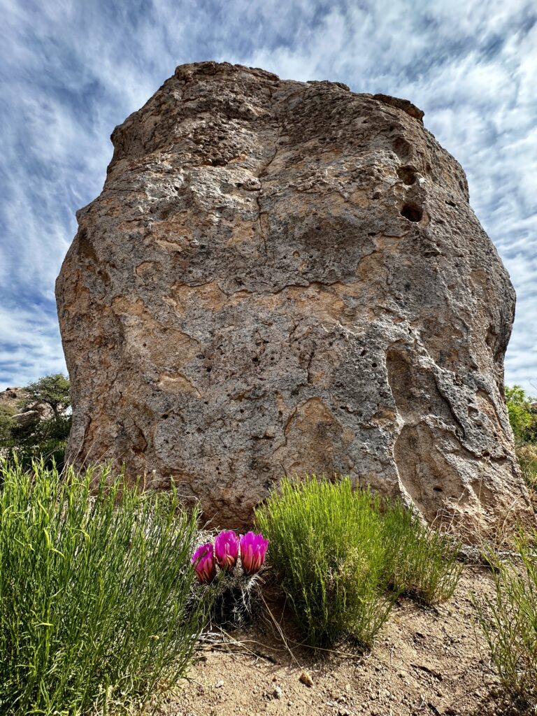
The Strawberry Hedgehog Cactus is common in the Southwest and has many different names. It is a perennial succulent which thrives in this environment.
Claret Cup Cactus
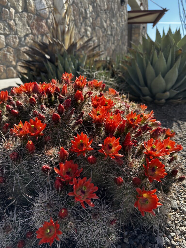
The Scarlet Hedgehog Cactus with its common name the Claret Cup is another type of Hedgehog cactus native to the Southwestern US.
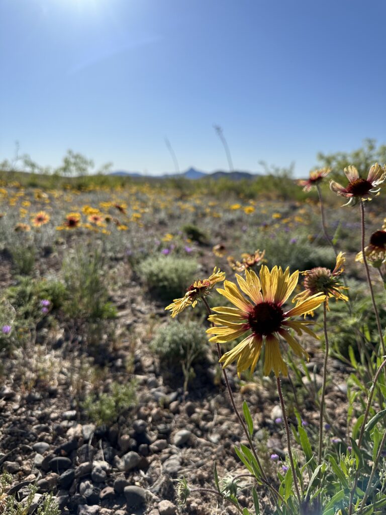
The amazing variety of wildflowers surrounding our campsite!
Designated International Dark-Sky Park
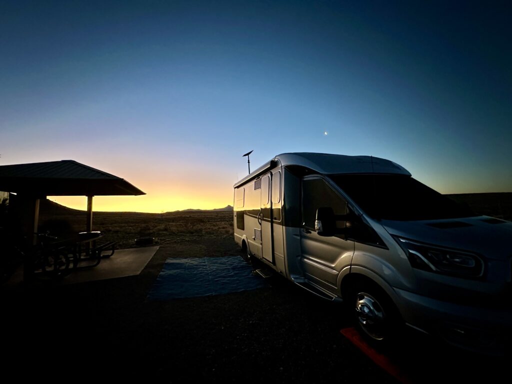
An International Dark-Sky park is a designation. A dark-sky location is protected for its natural, educational, and scientific importance. They are known for exceptional quality starry nights and its nighttime environment.
Certified places are required to use specified outdoor lighting, as well as have polices to reduce light pollution. Interestingly Flagstaff, AZ was the first International Dark Sky City in 2001 and since then over 200 places in 22 countries have been certified.
Petroglyphs
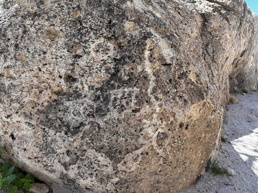
Petroglyphs are images, which are carved into rock surfaces. They have been found scattered all over the world. We have visited many petroglyph sites throughout our journey. Now the City of Rocks is included in our list. On our first visit to the park we were not aware of the petroglyphs.
A couple of days into our volunteering experience we learned of a secret map. What a secret map? Yes, City of Rocks has many petroglyphs, which can all be found using a map and detailed descriptions. These maps and instructions are available at the visitors center and provide a fun scavenger type hunt for families.
Just a couple of pictures to incite your curiosity. Worthy of a stop if you are traveling the I-10 from point A to B.
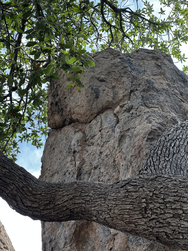
Table Top Mountain
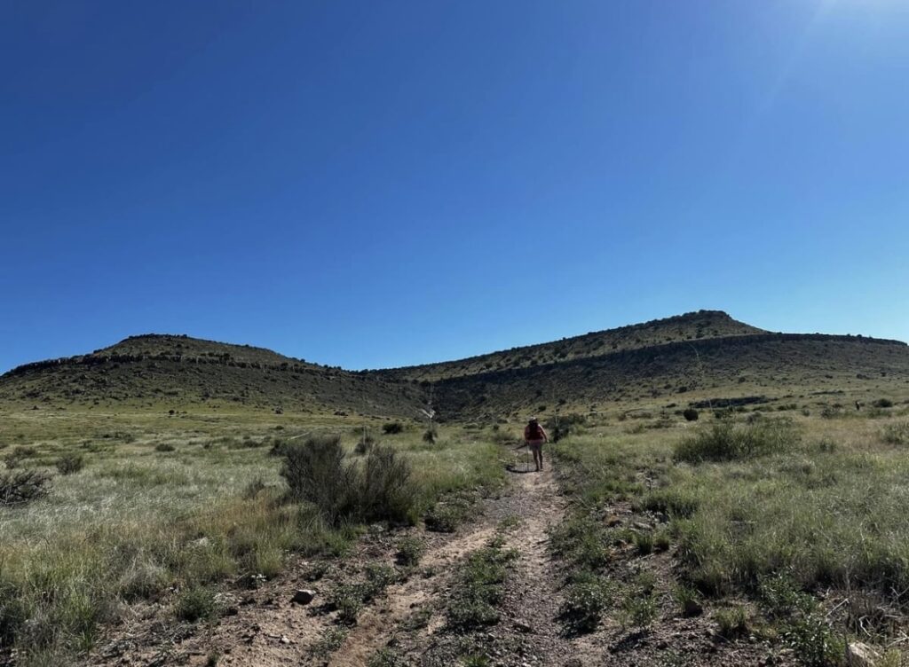
Table top mountain was our original destination when we first visited the park. Hiking distances vary, depending on where you begin.
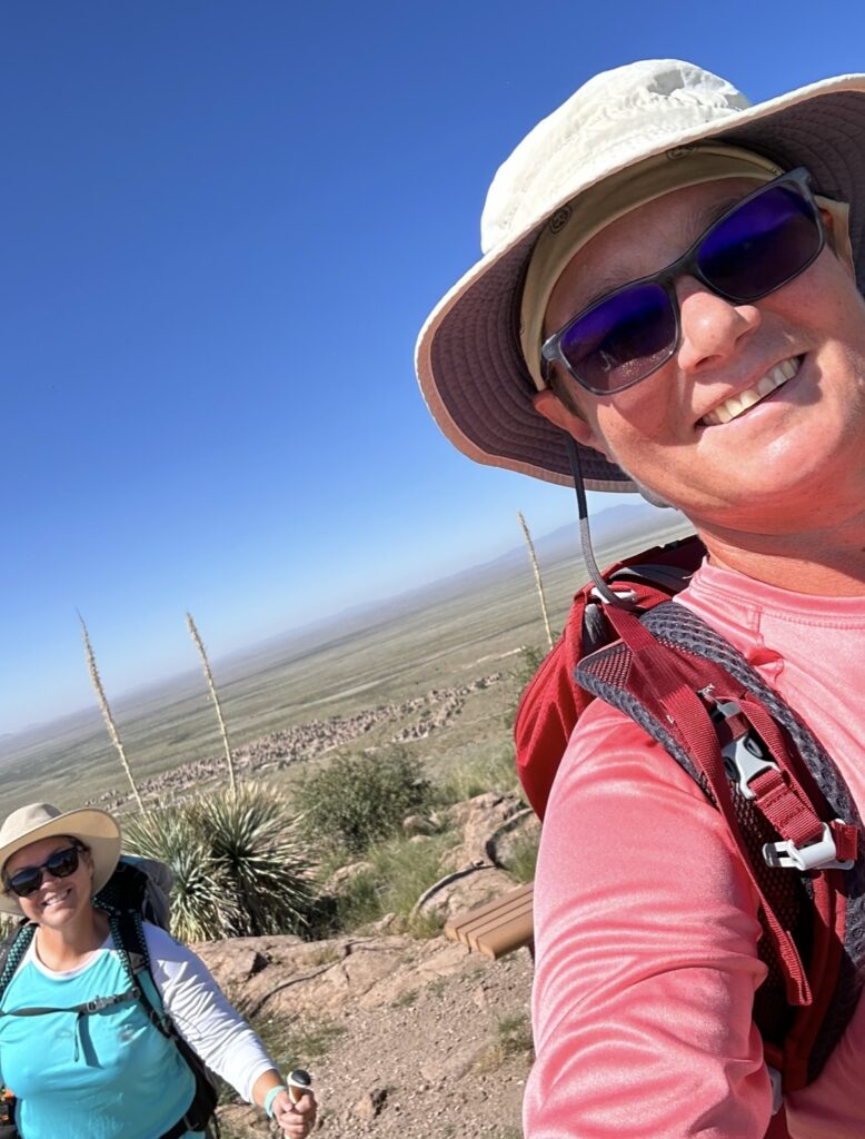
The City of Rocks behind us!
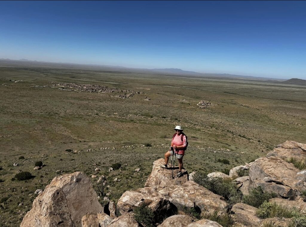
City of Rocks in the background.
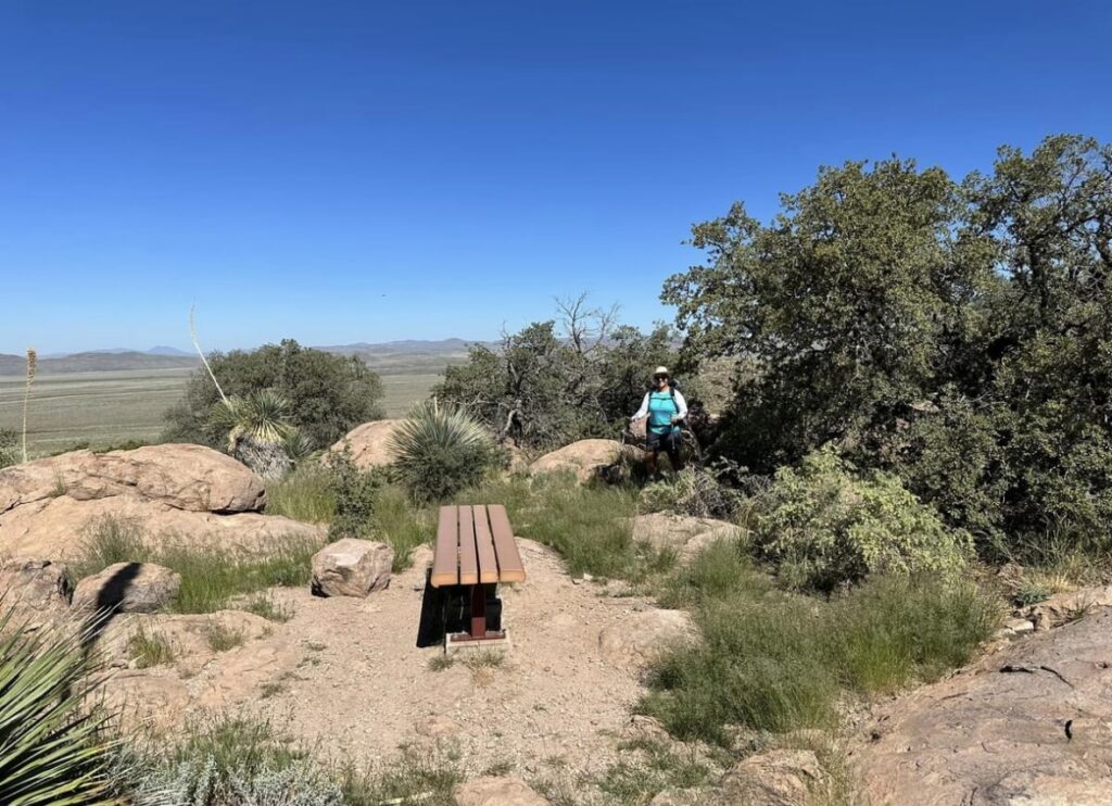
Yes there is a bench at the top of Table Top!
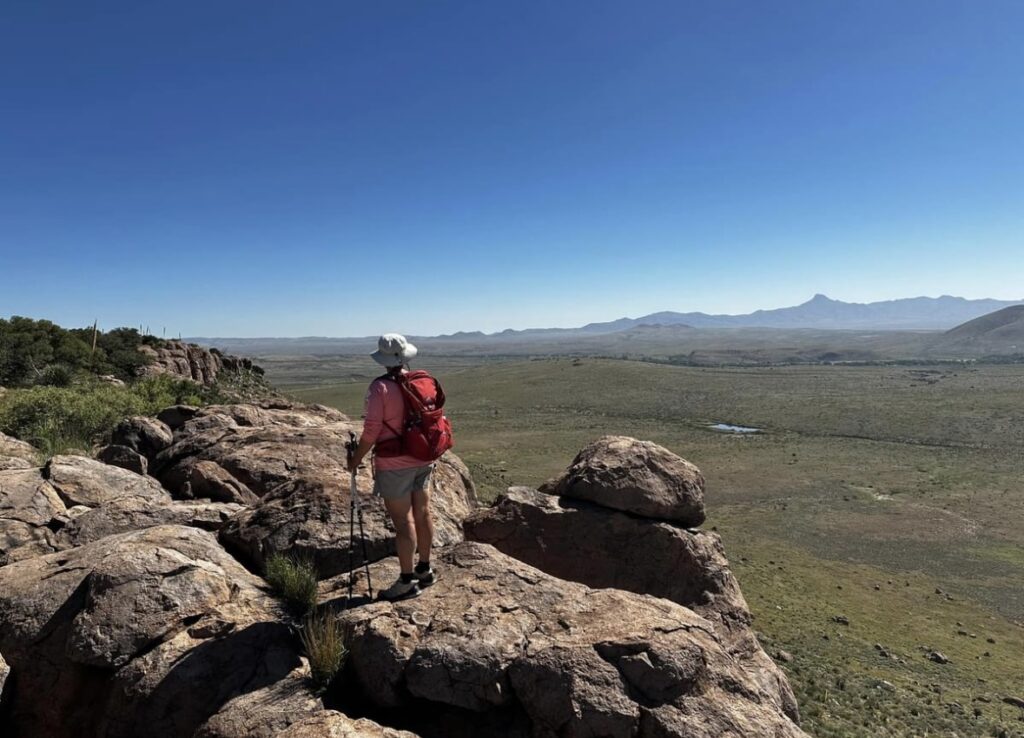
Cooks Peak in the distance.
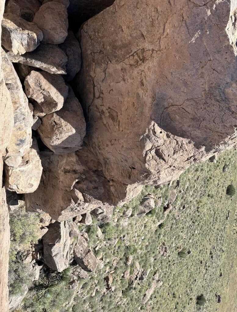
A view looking down from the top. Will this someday be a City of Rocks?
Hydra Trail and Table Mountain Trail
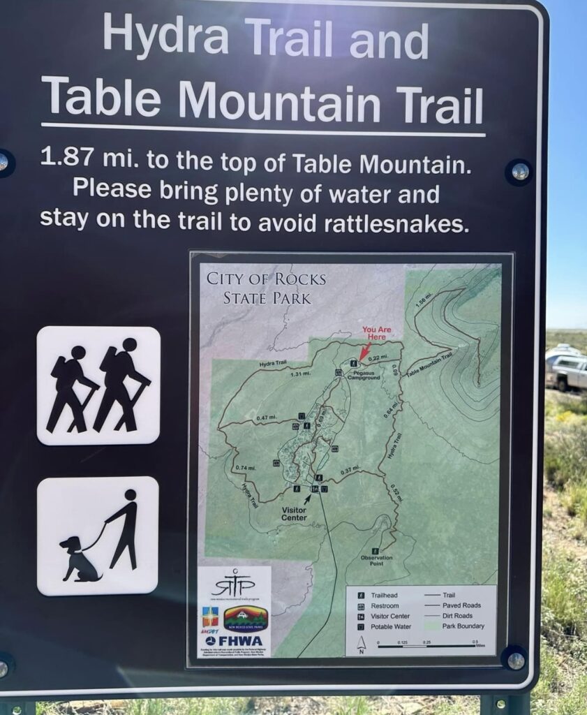
This map shows the many hikes in the park with mileages and elevation contour lines. The majority of the hiking is easy to moderate with gravely to rocky footing. Carry plenty of water, the temperatures can rise quickly in this desert climate making hiking conditions more difficult than they appear on paper.
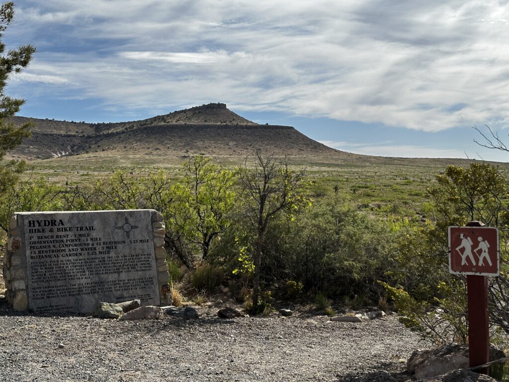
The Hydra trail is about three and a half miles and encircles the park perimeter. Many loops suitable to most hikers are possible using the hydra trail and park loop road.
Solar System Trail
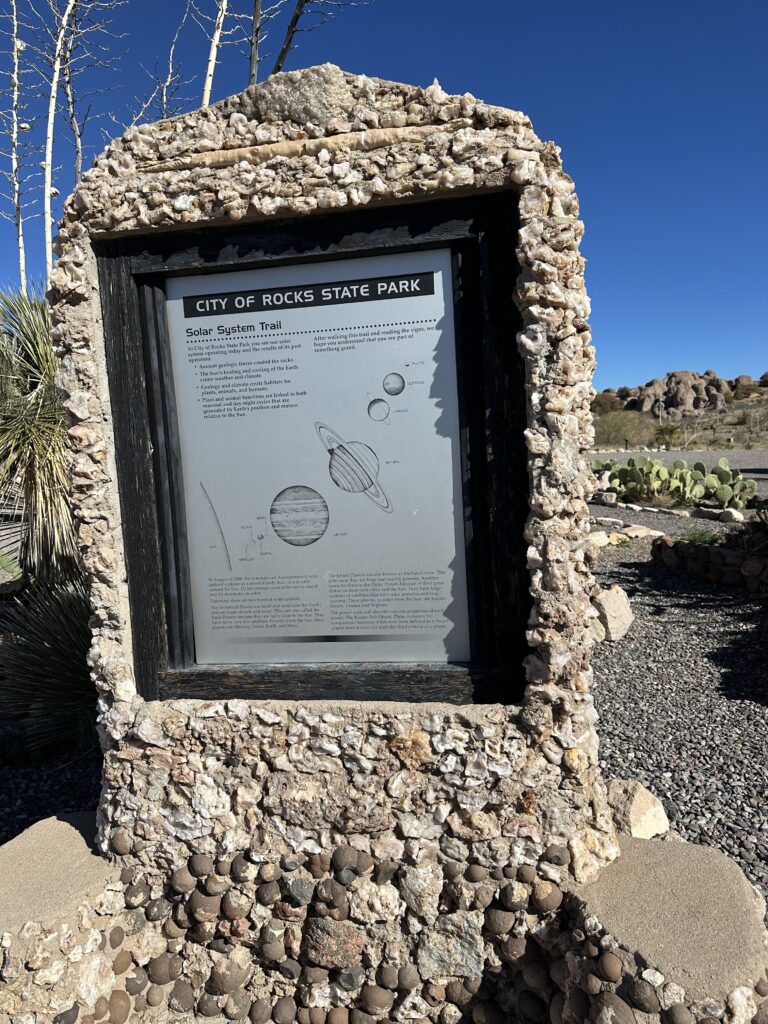
The Solar System Trail is a fun hike beginning in the visitor center parking lot and leading into the rocks. It demonstrates the distance between the planets in our solar system. As you walk the path the distance between the planet signs increases proportional to the relationship of the planets in our solar system. It is a wonderful way to help kids and adults alike visualize the incredible distance involved in space.
LTV’s are Made for City of Rocks
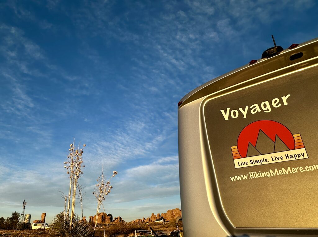
This photo captures us and two other LTV’s at City of Rocks State Park. LTV’s are perfect for this park. Their length and maneuverability will allow easy access to most every campsite. With a significant amount of sites being primitive, an LTV can have all the comforts of home in an incredible place.
Camp Host
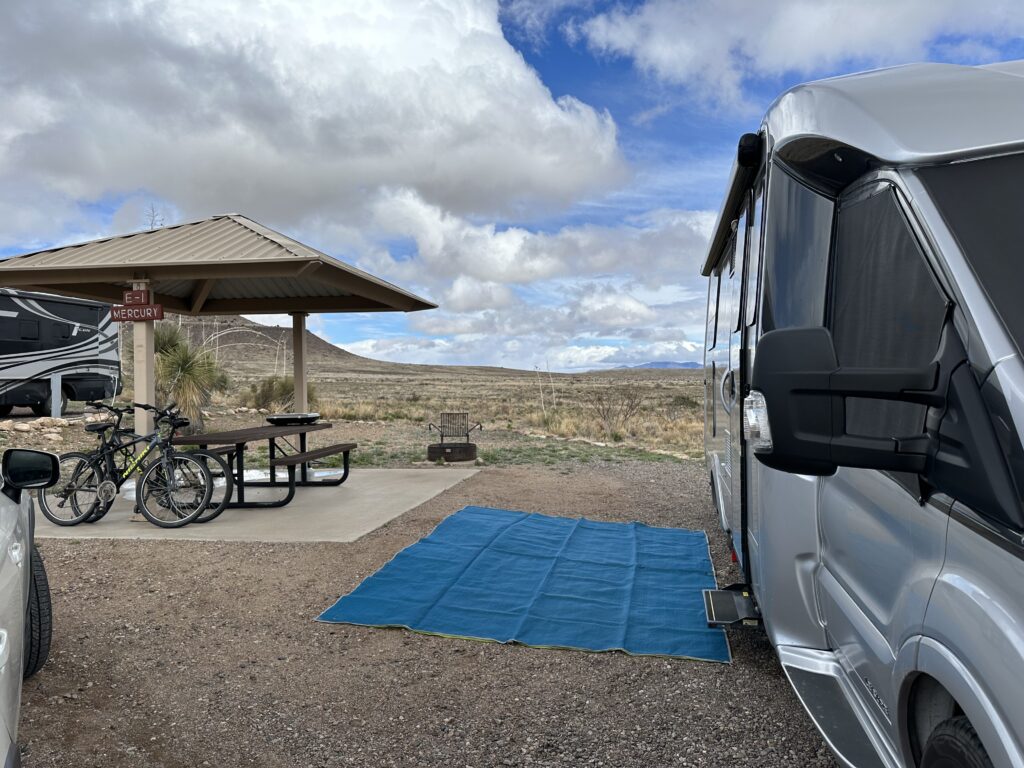
As many of you know Jess and I have been volunteering here at City of Rocks State Park. We are enjoying our experience. The team of rangers is wonderful, knowledgeable, and provides a great working environment. This is our campsite. It is complete with an electrical, water and sewer hook-up and did I mention the view!
I highly recommend spending some time volunteering at a state or national park if you have the ability. It has been a wonderful experience and something we are hoping to do again. Live Simple Live Happy
For more information on our motto of Live Simple Live Happy see the associated blog.