We began our westward journey in Montana at Glacier National Park. From there we traveled through Idaho to Washington State, south to Oregon and then back east to Idaho, linking together stops in view of several of the volcanos of the Pacific Northwest. We climbed to snow fields, hiked in sub-freezing temperatures in August, enjoyed the incredible moon scapes of lava fields, waded in the deepest lake in the United States and explored our first lava tube.
The experience was surreal, just one of these parks is an unbelievable experience, but to link them together and be able to visualize how these majestic volcanoes shaped the land over millions of years, was a treat. I have previously written about Glacier National Park (part 1 and part 2) and will focus on the volcanos in this piece. The order in which they appear is the order we visited.
We spent four to seven days in each location, mainly based on campground availability and local resources. As is true with much of our recent travels weather and fires have dictated many of our choices and planning can be best described as day to day. There is so much to see and do in the Pacific Northwest, we hope to be able to come back to these beautiful places next year and continue our exploration of the area.
Mt. Rainier
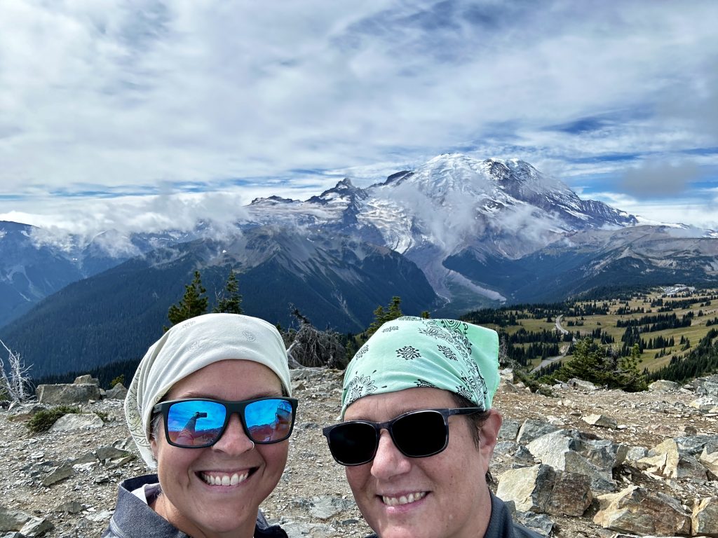
Mt. Rainer dominates the Seattle skyline. It is an active volcano, with an elevation of 14410′ and because of its proximity to major urban areas is considered one of the most dangerous volcanoes in the world. Officials believe there is a high probability of an eruption in the near future. The volcano is Washington state’s highest point and is climbed by over ten thousand people annually. Only about half of the people who set-out to climb the volcano make it to the top. Typically a well prepared climber takes two to three days to complete the technical ascent.
Ascending this type of peak requires specialized training and skills, which we have had in the past, however we would have a lot of work to do to reach that level again. Instead we chose several hikes throughout the National Park, which provided us the alpine views and experience without the exertion and risk. One of our favorites on this trip was a moderate hike to Dege peak 7008′, beginning at the Sunrise Visitors Center.
The Sunrise Visitor center is located at the end of the highest drivable road in the park. We arrived on September 17th and the facility was already closed for the winter season. It was unfortunate we were not able to explore the visitors center, however the reward was very few people in the area, allowing us to enjoy the serenity of the wilderness.
Ohanapecosh Campground
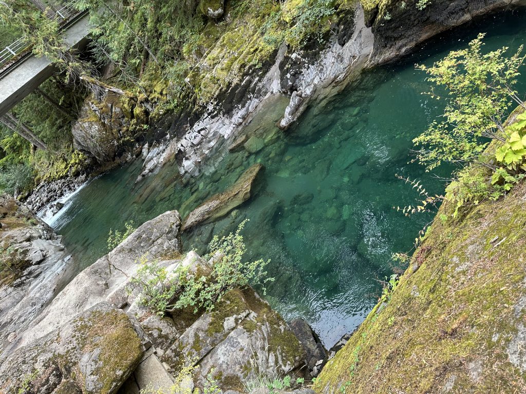
Ohanapecosh campground is one of several located in the National Park. Reservations are made on Recreation.gov, at the time of our visit all sites were first come first served. All campsites are primitive, but they are well maintained and come nicely equipped with a fire pit and picnic table. The Ohanapecosh river flows beautifully through the campground providing access to the (in my opinion) coldest water in the world. The color and clarity of the water is mesmerizing to sit and enjoy.
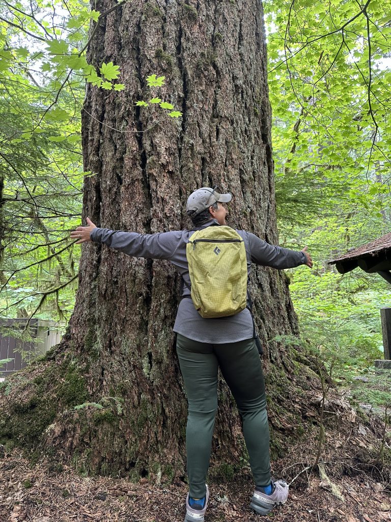
There are several trails leaving from the campground, most are good for families. In addition, a small hot spring area is close to the campground and reminds us that in spite of the cold temperatures and abundant snow, we are sitting on top of an active volcanic beast! These enormous old growth trees surrounded our RV and were our closest neighbors. I did not attempt to set-up our Starlink, the thick canopy barely let in sunlight. We did have intermittent cell service at high elevations.
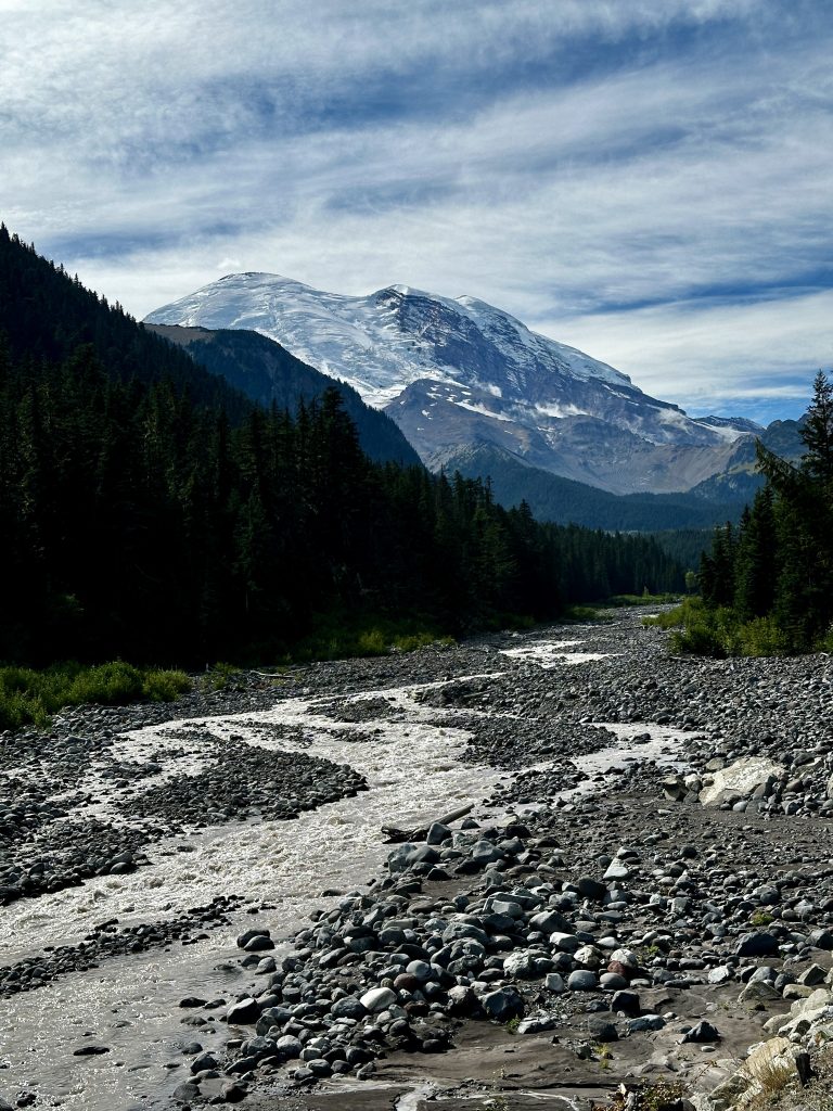
This is the appropriately named White River. From a distance the river appears white, however as we approached it, the color turned to chocolate. I scooped up a hand full of the finest black sand I have ever seen. A first hand view of the power of water and impacts of erosion. This water was also impressively cold! An amazing place.
Mount St. Helens
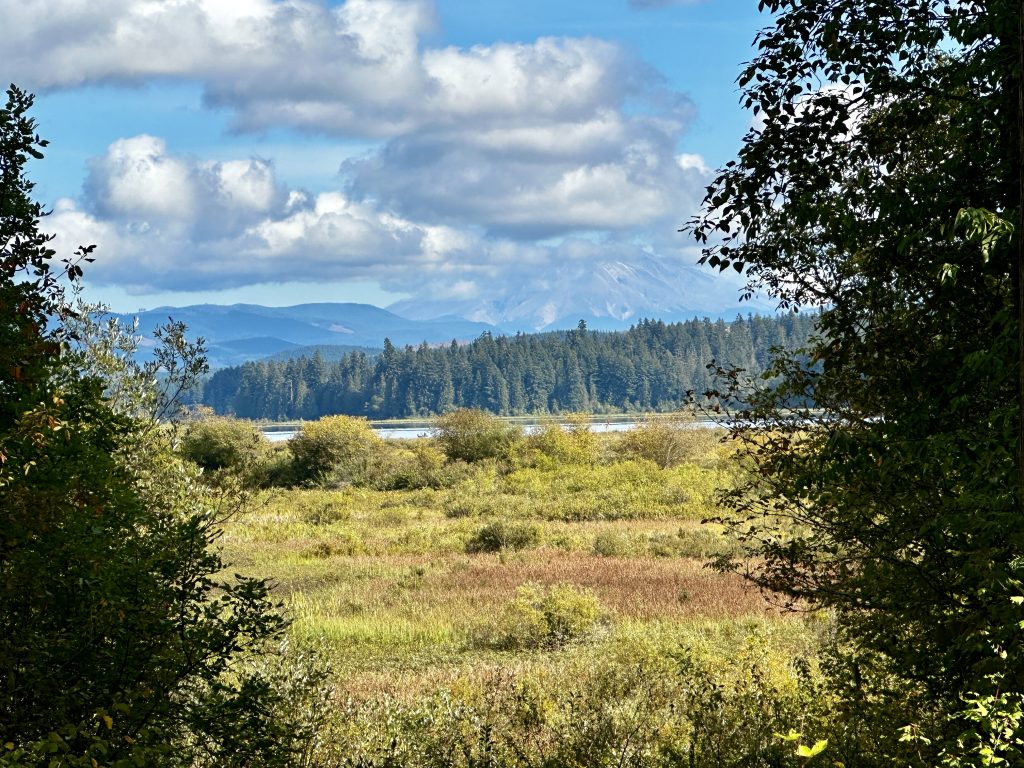
Our next stop on our volcano tour was Mount St. Helens, which is just south of Mt. Rainier. Our home base for the visit was the town of Castle Rock, Washington. This was our first view of the of the impressive 8365′ volcano, which had a major eruption in May of 1980. It holds the record for the most deadly and economically destructive volcano in the United States. A lateral eruption and subsequent land slide reduced the elevation of the volcano from 9677′ to its current elevation. The last rumblings of the volcano ended in 2008.
There are many trails which provide a non-technical route to the summit. Most can be completed in a long day, and require a top fitness level, because of an enormous amount of elevation gain in a relatively short distance. Visitors centers are abundant and informative, we especially enjoyed the Science Learning Center located near Coldwater lake. Our favorite hike in the park was the exploration of Ape Cave.
Ape Cave
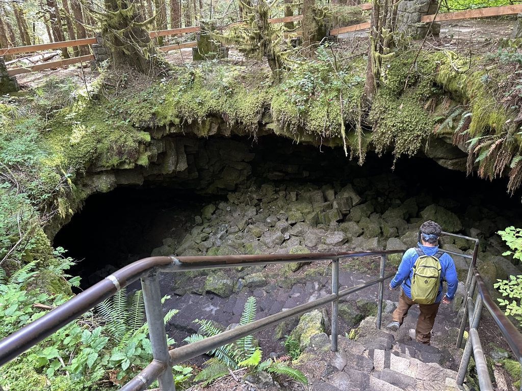
Ape cave is an ancient lava tube. It was created almost 2000 years ago, when molten lava flowed down the side of Mount St. Helens. The tube was created when the surface of the lava cooled, while lava continued to flow below ground. The newly formed crust insulated the lava below allowing it to flow long distances. When the molten lava ceased flowing a cave was left behind. It is about two and a half miles long and is the third largest lava tube in North America.
The entrance to the cave is located on Forest Road 8303, which is on the way to Lava Canyon on the Southeastern side of the park. The road is paved the entire way, there are a couple parking areas, as well as restrooms and a souvenir store at the site. A permit is required to enter the caves and is available on recreation.gov for a small processing fee.
The cave entrance is near the lower point of the cave. The lower passage is three quarters of a mile one-way, and is considered easy. The literature provided by the parks department states it’s great for families with children or elderly visitors. The cave maintains a constant year round temperature of 42 degrees, dress appropriately. I would also recommend a head lantern or flashlight with fresh batteries. Better yet both.
The meatball a rock formation reminiscent of an Indiana Jones film hazard is located in this section. As well, as the railroad tracks formation, which were both easily identifiable. This section of the cave is unobstructed and a simple walk in total darkness. It is where we began our exploration. It was exhilarating, the cold, the dark, and the unknown.
The Upper Passage
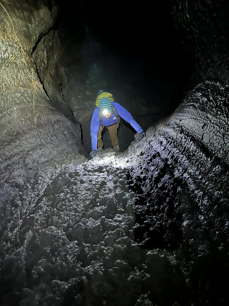
When we reached the end of the lower passage, we simply turned around and retraced our steps to the starting point. When we arrived back at the beginning our true adventure began. This section of cave is one and a half miles long one-way. There are twenty-seven sections called breakdowns, that must be climbed and navigated. These breakdowns were created as the lava tube emptied and cooled, creating cracks and cave-ins. In the above picture Jess is climbing an eight foot tall lava flow. I scooted up it first with a well timed push from Jess. Definitely a challenge!
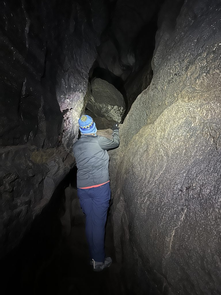
This is one of the breakdowns and the most difficult we had to navigate. We couldn’t go under, so up and through was the only choice. There is no way to see the other side until we reached the top, fortunately we fit through. Most of the breakdowns were large piles of rocks, which we climbed over and through. Sometimes there was more than one way, other times we reached a dead end and were required to turn around. It was a challenge and we quickly shed an outer layer of clothing.
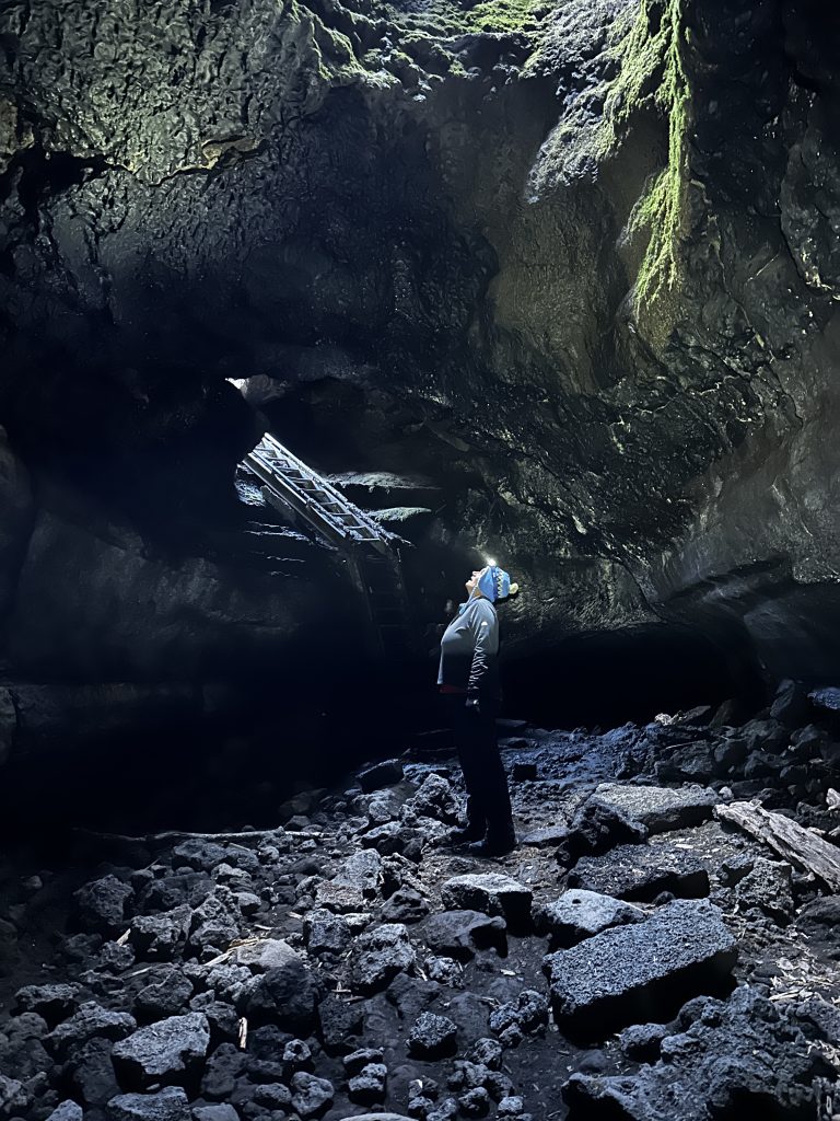
The only light entering the cave is at the entrance and exit, with one additional skylight just before the end of the upper passage of the cave. Skylights are created from total cave-ins. Upon reaching the end of the cave, a ladder provides an exit to the surface. From there we followed a surface level trail back to the parking area. It was almost as amazing as being in the cave. The terrain is out of this world and worth the walk, even if you are not interested in dropping below ground.
Cave Safety

Cave safety is important for yourself, as well as any inhabitants of the cave. White nose syndrome is responsible for killing enormous numbers of bats with increasing frequency recently. Humans are not susceptible to white nose syndrome, however they can spread the disease. It is important to not wear the same clothing in more than one cave. Washing does not prevent potential contamination. Boots and shoes are included, and can easily carry contaminates from one cave to another (think boat inspection stations).
In addition, to protecting wildlife, wear gloves to protect the cave walls from contamination from your hands. Natural oils in our skin easily transfer to the solid surfaces. Many of the rocks in this cave were jagged and sharp and gloves also protected our hands.
As I previously mentioned lighting is extremely important. Jess and I each used a head lantern allowing us full use of our hands and bodies to climb. We packed extra batteries and an additional spare head lantern. We saw many families exploring the lower passage, who were carrying lanterns, in addition to personal lights.
Proper clothing and footwear is important. The cave is a constant 42 degrees which required us to change layers several times. We shed layers when the climbing was steady and difficult, then added the layers back in easier sections. I was happy to have my winter hat and gloves. We also chose to wear our hiking boots. The soles are rigid and provide a good grip on the irregular volcanic surfaces.
As with any hike, ensure someone knows where you are going and when you will return. This cave has no caverns to get lost in, if you are actually going spelunking in an unknown cave more knowledge and gear will be necessary.
Mt. Hood
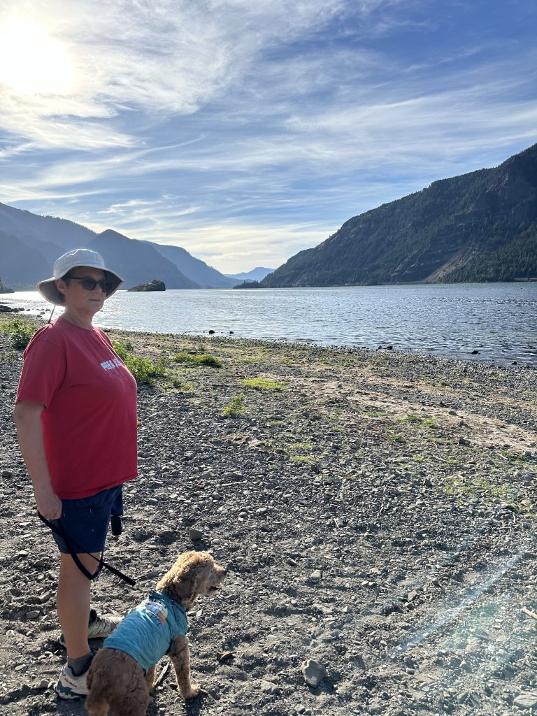
Mt. Hood is just a few miles south of Mount St. Helens across the mighty Columbia river in Oregon state. Viento State Park was our home base for this location. The State park is located along the banks of the Columbia river a short distance from the city of Hood River. Major biking and hiking routes pass through the park and access to the river is only a few steps from the RV sites.
The only unfortunate thing about this state park is the extremely active twenty-four hour rail lines that essentially run through the park, which requires the train conductors blow the whistle at all hours of the day. We would first feel the vibrations coming, then the whistle with some conductors more aggressive than others, and finally the full force of the heavily loaded double decker locomotives whizzing by just feet from your RV. I love trains so in my eyes this was a benefit, however I would guess many would not like this campground.
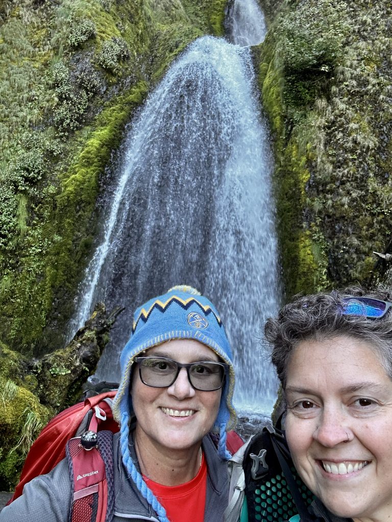
Columbia River Gorge is overflowing with an abundance of waterfall hikes. Wahkeena Falls is a whopping 242′ tall impressive sight. Multnomah falls with an even taller 542′ first drop and a secondary 69′ additional drop are accessible and an easy walk to view. We chose a loop hike providing us an opportunity to view five distinctive waterfalls. Amazingly over two million people visit Multnomah falls annually.
Tom, Dick, and Harry Mountain
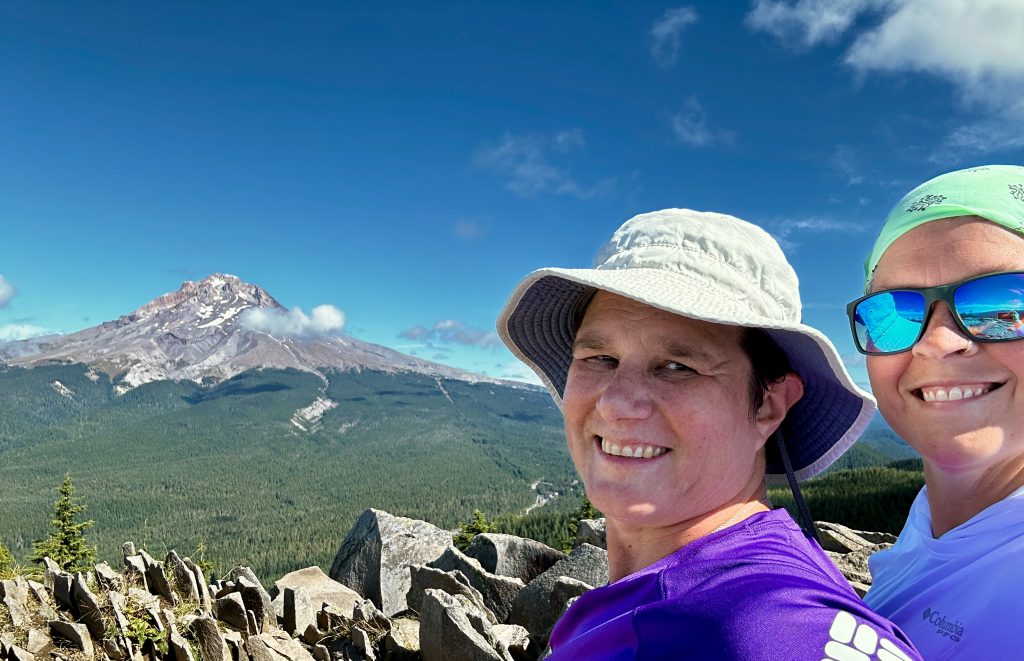
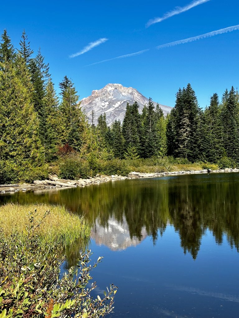
Full disclosure I picked this hike because I was intrigued by the name. It turned out to be one of our favorite hikes providing incredible views of Mt. Hood’s impressive 11240′ elevation. The trail’s name originated in the 1800’s and has been called that ever since. There are three distinctive peaks called Tom , Dick, and Harry making up the mountain.
The hike begins from a new parking area adjacent to the Mt. Hood ski bowl in Government Camp, Oregon. The trail description stated we would be able to see five volcanoes from the top. The day started off with rain and fog, so we took our time did some chores and hiked later in the day. By the time we ascended the sun was out and we were rewarded with impressive views of three of the five volcanos.
I would consider the trail a moderate hike with 1715′ of elevation gain and a round trip distance of 8.2 miles. The trail was somewhat busy even on a weekday. However, most people only hiked to mirror lake, completed the short loop walk around the lake, and tried to capture Mt. Hood’s reflection in the clear mountain lake. This would be a wonderful family hike!
Lava Lands
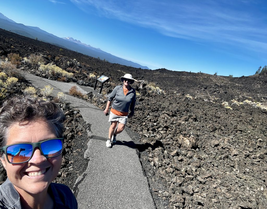
Lava lands was an unexpected surprise. As we drove from Hood River, Oregon towards Crater Lake National Park we noticed a lava flow along the side of highway 97. Then we saw a sign for Lava Lands. “Voyager” had a mind of her own, the brakes were applied, and the steering wheel guided us into the parking area. We found primitive restrooms open and sign boards with information about the place. The visitors center was closed a sign stating only weekend hours at this time of year.
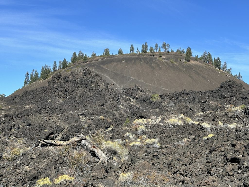
It was a short moving day with plenty of time to explore this unique place. Lava Butte is displayed in the picture below. It was created thousands of years ago, when an eruption occurred. The butte formed when hot gas filled lava that had been ejected from the cinder cone cooled and fell back to the ground. We walked the paved path called The Trail of the Molten Land through the lava fields. The trail was easy, accessible, and packed with informative sign boards.
There are many trails, including a paved biking path. Information can be found on the USDA Forest Service website. On a future trip through this area, we will make another stop here to explore more trails and hopefully the visitors center. It’s unexpected places like this which provide us the true explorer feelings. Being safe and prepared, yet allowing ourselves the opportunity to be spontaneous is a delicate balance. Our last three months in the Pacific Northwest has been a perfect mix!
Crater Lake National Park
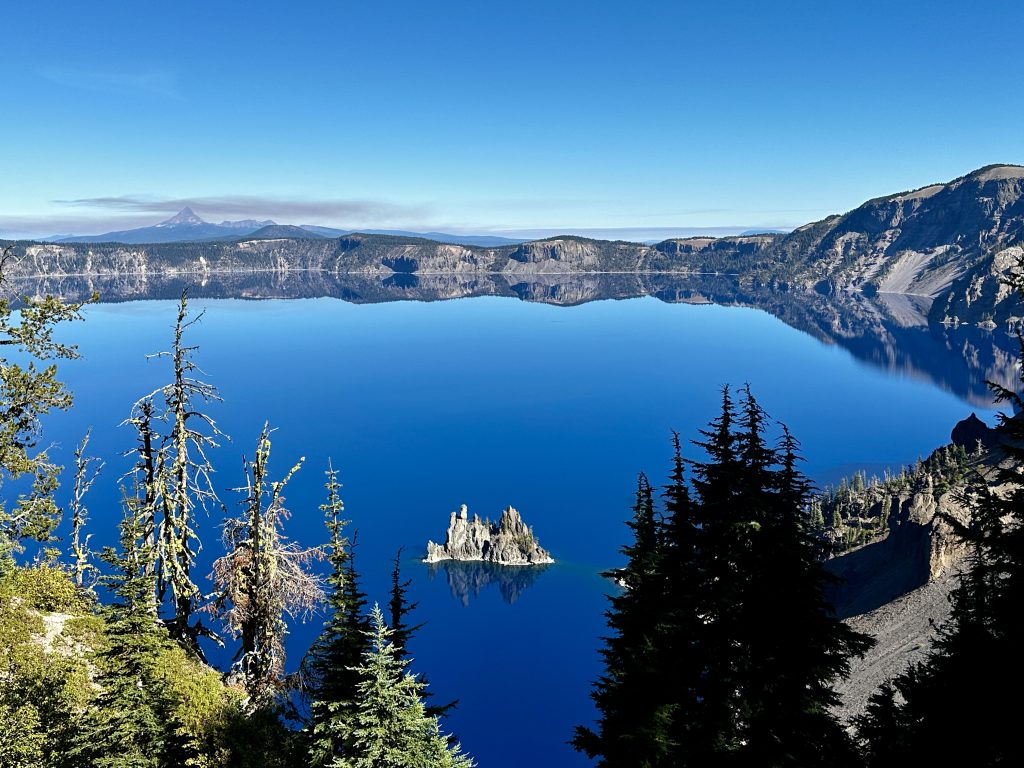
Crater Lake National Park was on our itinerary, however many of the surrounding areas have been plagued by wildfires for most of the season. Some areas and trails are closed. Many of the active fires, authorities are letting burn for forest management. After several planning conservations and checking and double checking fire and smoke conditions, we decided to take the risk. An amazing place!
We visited the park over three consecutive days and could have spent more. We climbed to the highest point, the lowest, and many in between. All while being mesmerized by the intoxicating blues of the lake. Mount Mazama is the name of the volcano that collapsed and is now home to Crater Lake, the deepest lake in the United States at 1943′. Centered in the picture above is “Phantom Ship” which is only visible from certain places and angles, within the park hence the name.
There are many easy hikes and short walks within the park as well as visitors centers and landmarks to explore. The Pinnacles are easily accessible and an interesting volcanic formation. Plaikni Falls is another short walk, with minimal elevation gain through beautiful old growth forest. The one mile one-way trail ends revealing the refreshing Plaikni falls. Definitely drive the fifty-five mile long park road encircling the enormous crater, and providing access to incredible sights and short trails.
Cleetwood Cove
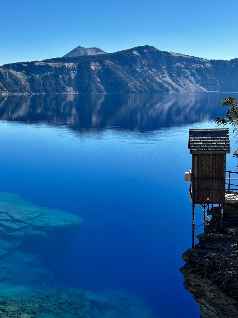
The climb to the lake surface on the Cleetwood Cove Trail was a highlight of our trip. It is a short 1.1 mile descent with 700′ of elevation loss to the lake’s surface. I had completed some preliminary research for trails in the local area and park and had not found this trail. I was ecstatic when I realized we could not only descend to the water, but could also swim if we chose.
This picture captured by Jess is incredible! The reflection and clarity of the water is difficult to believe. It’s typically possible to see over a hundred feet deep into the water. We enjoyed our lunch by the water’s edge and I waded in waist deep. It was so cold! The lake is filled by snow melt and local precipitation. There is an outlet flowing underground which helps maintain a consistent water level.
If I only had time for one hike, this would be the one! I highly recommend bringing your bathing suit and taking a dip. Especially if it’s warm weather, the hike back to the car is a series of long switchbacks, steadily climbing up in full sun. The cold dip was a welcomed relief before climbing out of the cauldron back to the surface.
Mount Scott
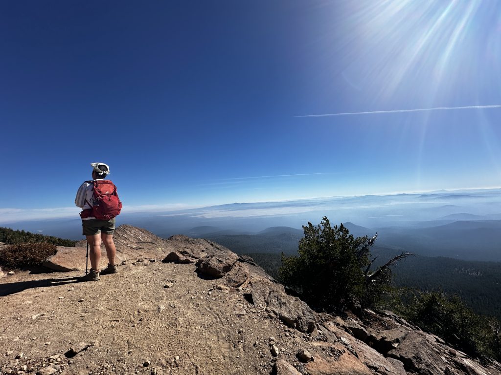
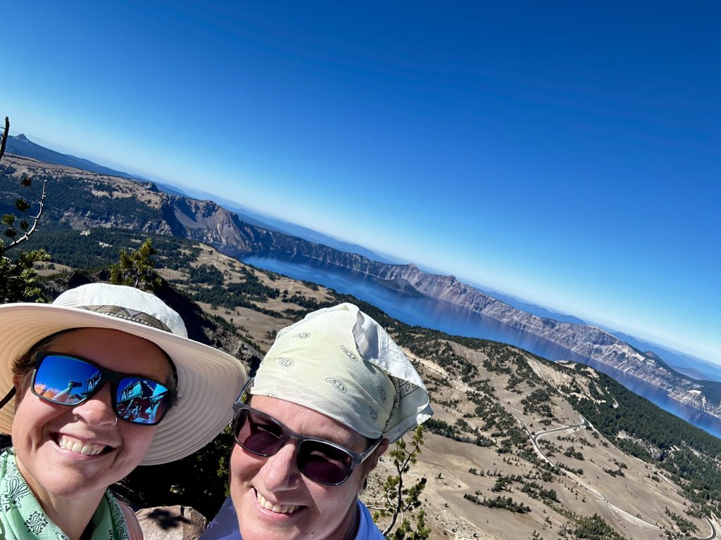
Mount Scott is the high point in Crater Lake National Park. At an impressive 8929″ the summit is reached by a steady climb of switchbacks, 2.2 miles long and an elevation gain of 1250′. I would rate this trail as moderate if you are an active hiker or acclimatized to elevation. If not I would give it a difficult rating, everyone’s bodies react differently to elevation.
We met a wonderful family from California who was also visiting the park and hiked with them talking for a significant distance. They had two children, one teen and one pre-teen. As we neared the top Jess and I had put some distance between us. While we enjoyed our lunch at the top, the family arrived but the teenage daughter was struggling and did not feel well.
After talking more with her parents, it was common for her to have headaches and a general “yucky” feeling when hiking above 5000′. I know the feeling! We talked about some of the things which have helped me, and admitted how much I still struggle at times. Today I felt great, but we have been constantly at elevation for the previous two months and hiking consistently.
Listen to your body. Do not judge how your performance relates to others. Stay positive. Drink plenty of water. Have fun. Pace yourself. Eat plenty of snacks. When things get especially tough, I have learned to focus on my feet moving up the trail and nothing else. My internal mantra repeats this simple saying over and over again “Head down, boots to the ground”. This has taken me to the top of mountains above 14000′, an achievement I am incredibly thankful to have experienced. Hopefully, there will be more in our future.
Smith Rock State Park
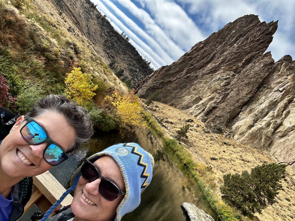
Smith Rock is a rock climbers paradise. It is located just a few miles from Bend, OR. A small fee is charged for parking a vehicle within the park. There is camping available from March 15 – November 15 and is available on a first-come first-served basis. Amazingly there are several thousands of climbs within the park, and more than a thousand bolted routes. Additionally, there is hiking, biking, and wildlife viewing along the beautiful Crooked River, which meanders through the park.
Upon first look Smith Rock is not an obvious volcanic formation, however as we explored and researched its formation became clear. Almost 30 million years ago the largest volcanic event happening entirely in the State of Oregon occurred. The fractured surface rock collapsed into the molten rock below creating the massive Crooked River Caldera. The subsequent eruption created huge amounts of volcanic ash and pumice.
The caldera filled in and as the ash cooled it became the tuff present today. Tuff can form into hard rock formations because of the high heat created, but some will remain soft. These layers are beautiful to observe and create amazing climbing opportunities.
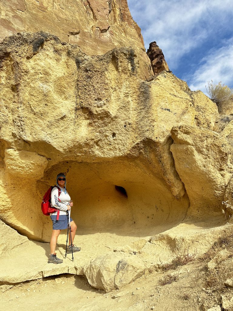
Jess told me to stand here while she took a picture. Now all she is doing is laughing. These formations are present all throughout the park. They are created by super heated gasses which make bubbles in the lava and once the lava cools and the gas escapes this is what is left behind.
Mt. Jefferson
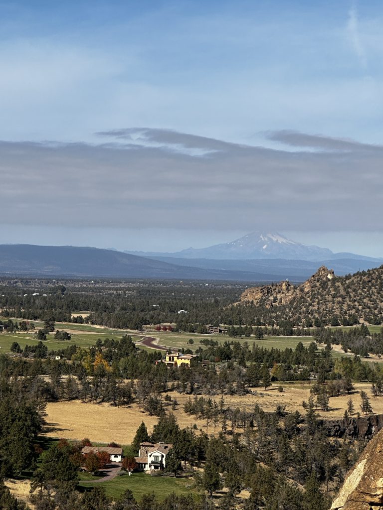
Mt. Jefferson from the top of Misery Ridge, it is an impressive 10502′ volcano and is located in the nearby Cascade range. Neither Jess nor myself are lead climbers, so therefore we picked the coolest hike in the park, in my opinion. I couldn’t resist the name Misery Ridge.
When Rock climbing outside it is necessary for a skilled climber to lead the route and set-up protection and anchors or clip into the existing bolts. This type of lead climbing presents more risk to the lead climber and is more dangerous. If a fall were to occur it would be more likely to injure the climber. Jess and I are qualified to climb on top rope and gym climb. I have also climbed many years with a friend and am qualified to belay a lead climber, which is different from typical top rope belaying.
Maybe someday we will return here with our friend and get ourselves up some of these incredible routes, until then, Misery Ridge was everything it was touted to be. 800′ elevation gain in the first half mile, oh yeah! Climbs like that remind us why we love doing this crazy stuff. The more difficult the more fulfilling. The loop was amazing and is the only hike I have ever seen crutches and a backboard stored for future use along the trail!
Craters of the Moon
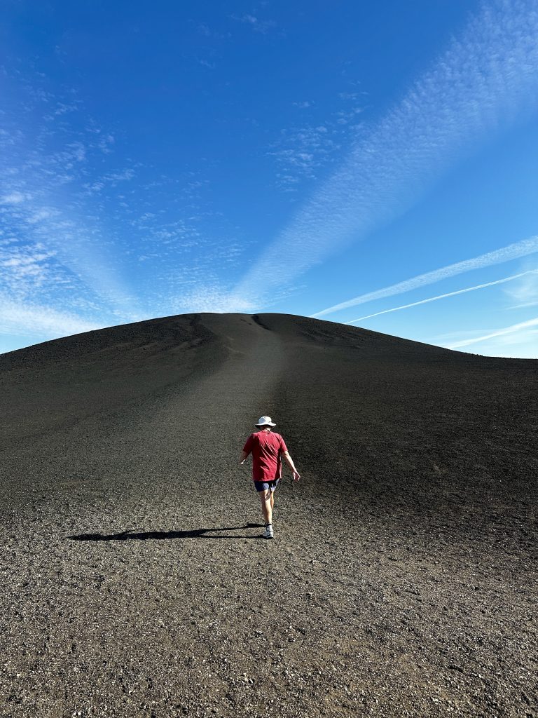
Craters of the moon National Monument and Preserve is our last stop on this leg of our multi-state volcano tour. We spent several days in the area and two full days in the park. Our National Park pass provided unlimited access to the park, which we took advantage of with a couple evening trips to just get out and walk. We chose an RV park close by in the town of Arco, ID. Arco is known as the first city powered by atomic energy.
The monument was established in 1924 and is over 750,000 acres, with more than a quarter million visitors annually. The monument contains three major lava flows along the Great Rift of Idaho. The open rifts are impressive and the park includes almost all varieties of basalt lava, including tree molds. There are flows as young as 2000 years ago, with more eruptions expected.
Inferno Cone pictured above was one of my favorite spots. A short steep climb to the top. The surface crunched below our feet as we climbed. I couldn’t resist picking up hand fulls of the incredibly light pumice. It took me a minute for my brain to wrap itself around these surreal surroundings.

Splatter cones, lava tubes, Devils Orchard nature trail, tree molds, pahoehoe lava, and lava fields as far as the eye can see. It’s other worldly and beautiful in its own way!

Climbing out of a lava tube!
Tree Molds

Tree molds are created when super hot lava encounters a live forest. The tree releases steam when the lava surrounds them causing the lava to cool, preserving the texture and shape of the tree. We saw many types of trees preserved in the lava. Their bark is very distinctive. Additionally, there were vertical tree molds, which showed how deep the lava flows were, when they encountered the trees.
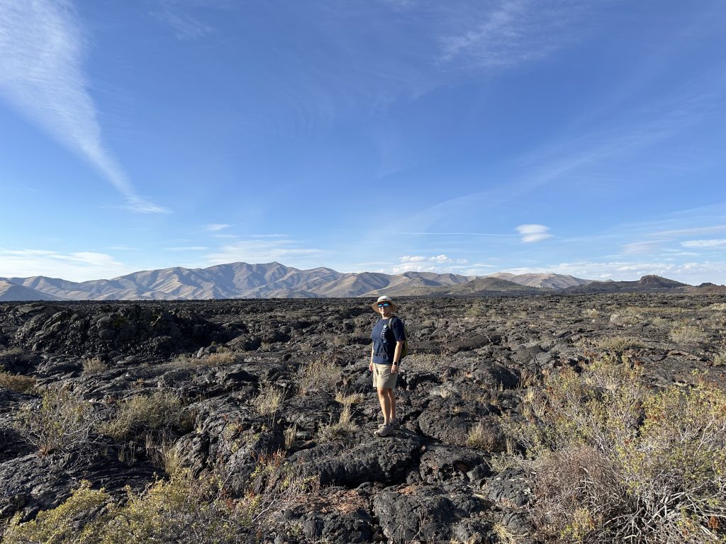
An amazing journey! We were exposed to so many new things and incredible places. I hope we can return to these beautiful places in our future and continue our exploration. As much as we did there is exponentially more at each park, in addition to other parks we did not visit in the areas we traveled. We are loving the opportunity to live full-time on the road and immerse ourselves in exploration. Live Simple Live Happy