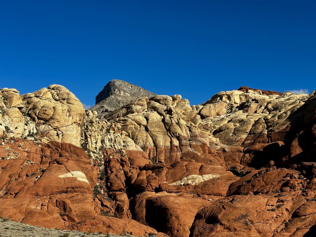
No photo shop needed! The incredible vistas of Red Rock Canyon National Conservation Area are impressive under any light. The sandstone formations are calling to be explored. The textures and colors are other worldly and unlike anything else I had seen before. A couple of brief drives through the park, when I was on work trips in Vegas, had been my experience in the park.
When we decided to travel full-time in our Leisure Travel Van, we had to pick a domicile state. Nevada and specifically Las Vegas was a top choice, with its access to outdoor activities, world famous entertainers, and international airport. While Jess was re-searching things like tax structure, insurance, and healthcare, I was thinking about hiking in Red Rock and visiting near by National Parks. Once the decision was made to make Las Vegas our new home on the road. I began planning all the places I wanted to visit.
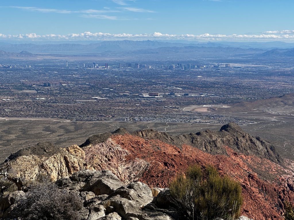
Red Rock Canyon National Conservation Area was first on the list. It’s a short drive from our RV park and accepts the America the Beautiful pass, allowing us unlimited free entry. A timed entry pass is required, which is easily acquired on recreation.gov and a two dollar fee is charged by the website. The timed entry allows for smoother operation and less bottlenecks getting into the park.
Scenic Drive
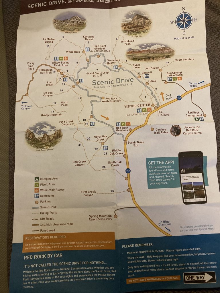
The scenic drive was my only experience in this beautiful place. It is a one-way road with several parking areas and plenty of parking. The lots provide access to diverse rock formations, various canyons, petroglyphs and more. If you only have a couple of hours to visit the park, you will be rewarded with stellar views within a few steps of your car. However, if you have more time and can get out on the trails, there is a trail for every experience level.
The visitors center has detailed maps of all the trails in the park. The rangers and volunteers are a wealth of information which they are eager to share. Additionally, Red Rock Canyon has an incredible app that provides lots of information.
Calico Tanks
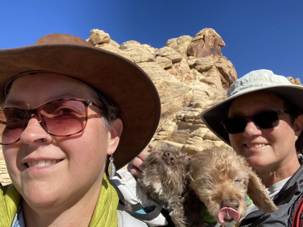
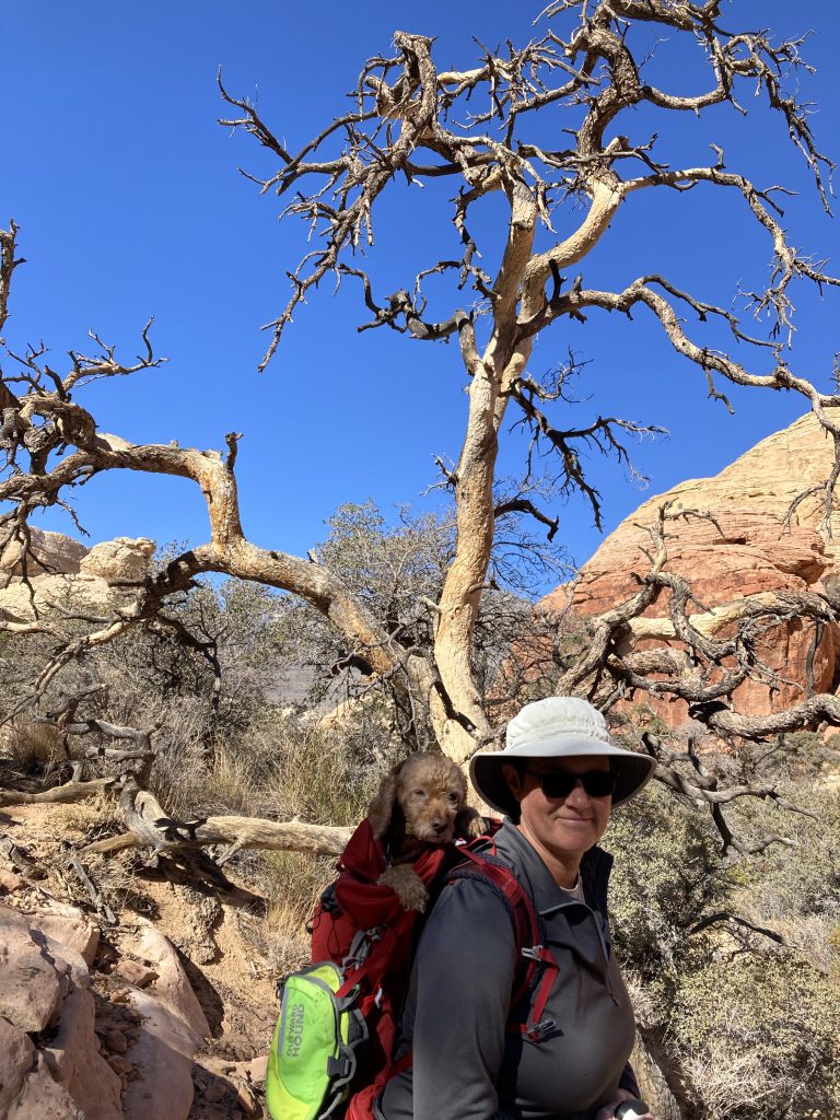
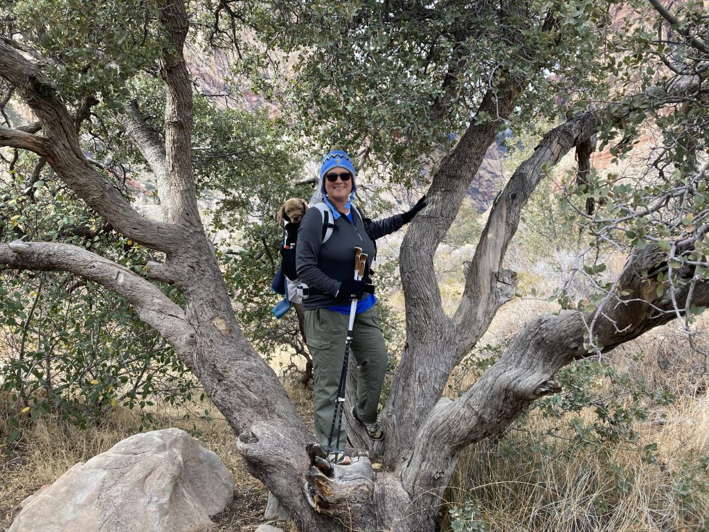
Calico Tanks trail is one of the first trails we hiked in Red Rock Canyon. It’s a short two and a half mile walk with minimal elevation gain. Because dogs are allowed in Red Rock Canyon we would both be carrying a pup in their K-9 Sport sack pack. Each dog weighs in around twenty-two pounds with Brownie sometimes tipping the scale closer to twenty-five pounds. This additional weight was why we picked a shorter hike to help condition ourselves to hiking basically with full packs.
Over the years the dogs have been mighty hikers accompanying us anywhere they were allowed. As they have aged they have been plagued with many of the same conditions us humans get as we age. Brownie with his short and mighty stature developed arthritis in his hips and lost his sight. These conditions led to us purchasing this pack specifically made for dogs and we have been carrying him for the last couple of years.
Teddy, who has been gradually losing his hearing, but who otherwise is in good health decided he no longer wanted to hike. He would walk for a short distance and then just lay down and refuse to walk anymore. We decided on another pack and here we are, two pups being carried. Now Teddy is much happier, interestingly he has an amazing amount of energy and runs around like crazy when we take him out of the pack. I think we’ve been played!
La Madre Spring
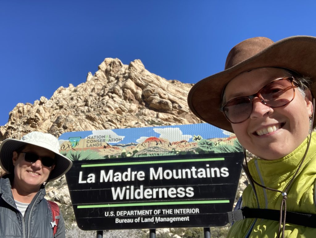
La Madre Springs is considered a moderate hike, and another one of our first hikes. The trail description says it’s 3.3 miles long, however we ended up with more mileage. Starting from the Willow Spring picnic area, the trail follows the 4X4 Rocky Gap Road for a short distance, it then veers to the right and continues to climb. Most of the trail is rocky and requires you to pay attention to your footing. The trail crosses two wilderness areas and has some beautiful scenery.
Another trail junction leads to a longer loop hike to White Rock. Staying to the left and continuing on to La Madre Spring, we soon started to hear trickling water. The trail became questionable at a point and began to follow alongside the canyon. As we continued to hear water we continued to climb. At a point the trail fizzled out so we both went our separate ways and explored the area to try to find the spring.
Eventually, after we backtracked down a bit we found a running stream beneath a thick layer of grass and lots of additional shrubs and vegetation. As we had no idea what we were looking for we called it a day and a successful hike! Our mileage was about four tenths longer than the trail descriptions. But we were happy we at least found some water.
These first few hikes in Red Rocks were our first experience hiking in a desert environment. We had a lot to learn. From new terminology to hiking off trail through washes and canyons. Different geology and weather conditions dictated we learn new skills.
Kraft Mountain Loop
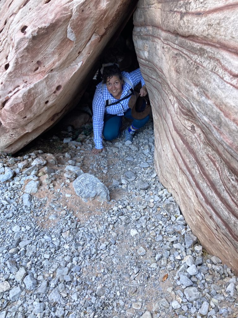
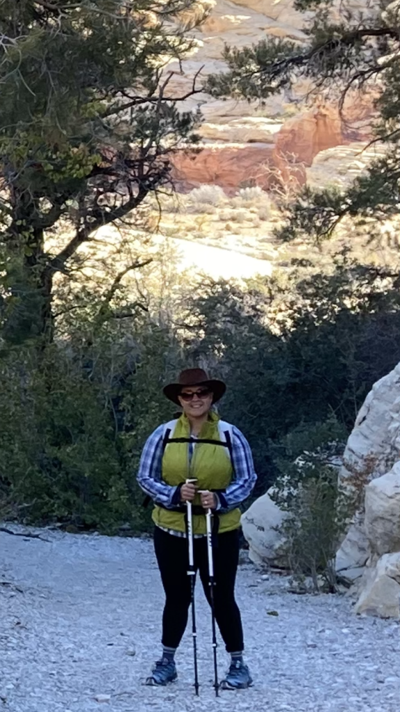
Kraft mountain loop was one of our favorite hikes at Red Rocks. Access to the hike is from outside the park. It begins at the end of Sandstone drive, where there is a large parking area. This is a popular bouldering area and parking will fill up.
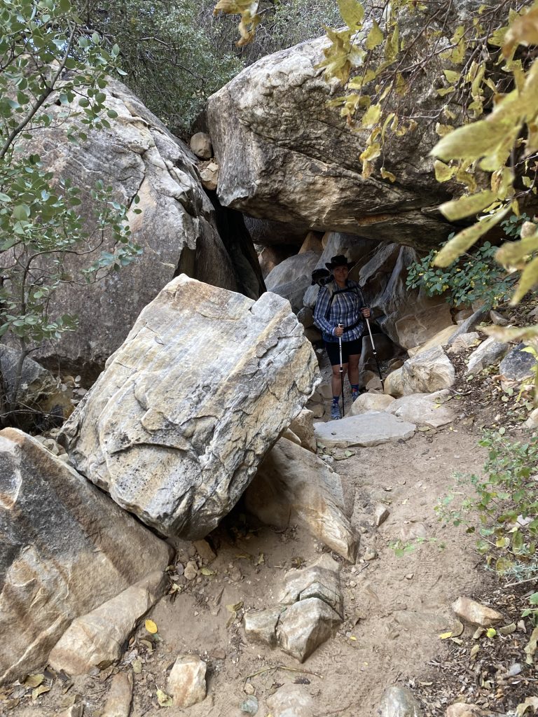
We hiked clockwise and brought the dogs. The trail soon climbs a ridge and then descends into a sandy wash. Following the wash we quickly came to our first boulders and scrambling situation. Over, around, and under we climbed. The trail narrowed and presented some gnarly terrain for us to navigate. Some of the spaces were so tight we had to remove our packs (with the dogs in them) and slide them through before we could go through. What a cool and unnerving experience.
At the end of the loop we were treated to a crowd of people bouldering on the “Kraft Rocks”. They were fun to watch. We sat down and enjoyed our lunch. This is a wonderful trail and I am excited to maybe have the opportunity to hike it again, now that we have two years of desert hiking experience under our belt.
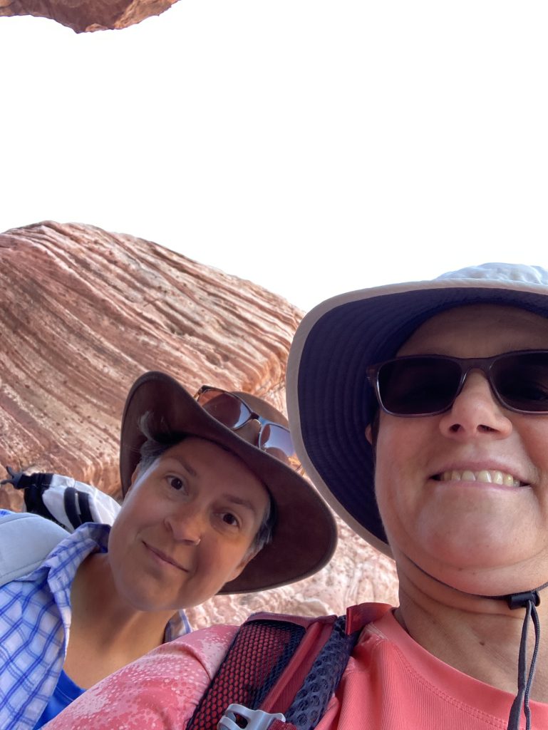
Pine Creek Canyon & Fire Ecology Trail
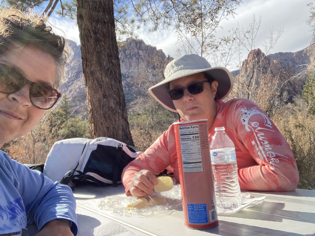
Pine Creek Canyon is a three mile easy hike with a great backcountry picnic spot. The trail leads from a parking area off the primary park road just before the park exit. There are many trails which intersect in this area and many loop opportunities. Therefore some actual mileages may be different from what you read. However, the trail junctions are marked well and many have distance maps.
The picnic table was a surprise and a wonderful spot for lunch. There was a small trickling creek a few feet from the picnic table. It was perfect. The trail passes by an old homestead. A concrete pad marks the location of the Wilson homestead. The Wilson’s built a home sometime in the 1920’s, farmed, and grew an orchard in the canyon. The property changed hands over the years and was eventually abandoned and looted, before being sold to Nevada State Parks.
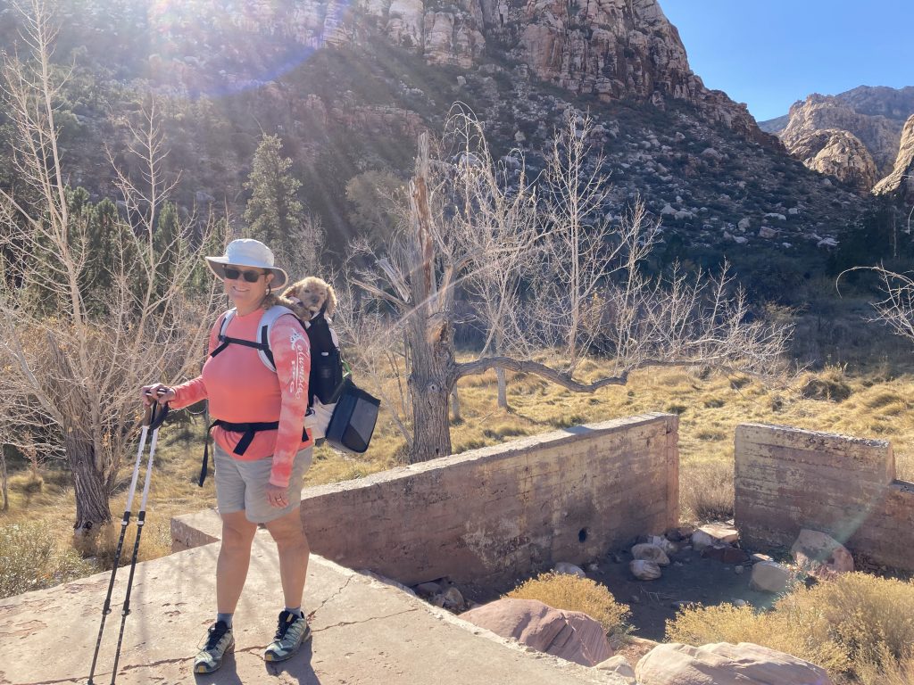
We explored a couple of small loops in the area and traversed through thick shrubs in the canyon before eventually returning to the main trail. Another wonderful Red Rock hike.
Oak Creek Canyon
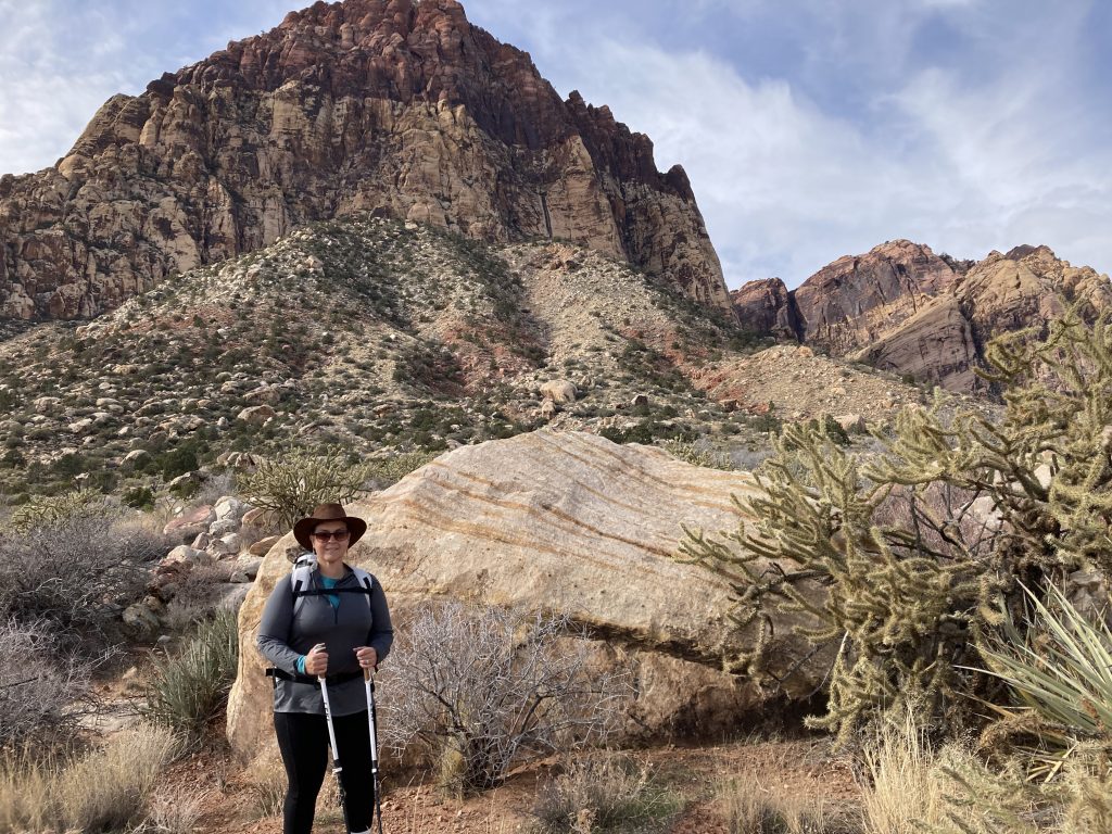
Oak creek canyon is a short easy hike. The trail begins from a small parking area just off the Scenic Drive road. It’s less than two miles and only a couple hundred feet of elevation gain. As in many other areas of the park, many trails, which are well marked, can be accessed creating many loop activities.
The trail begins in the wide open desert with no shade. Most of our hiking has been throughout the winter months between November and March when temperatures can dip pretty low in these desert environments. The open skies have provided some much appreciated warmth on those cold desert early morning hikes.
After reaching the creek we ventured off to explore a few more trails and completing the loop through near by North Oak Creek. We logged several miles and enjoyed all the incredible rock formations and views.
Turtlehead Peak
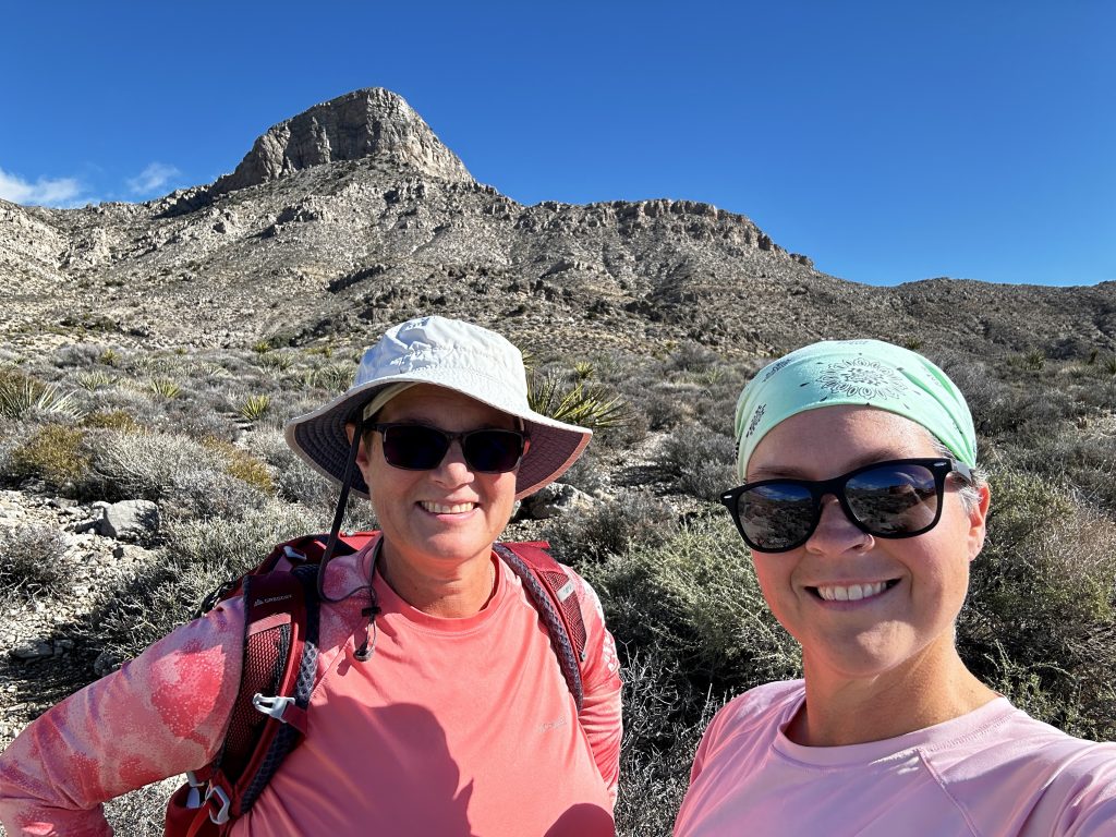
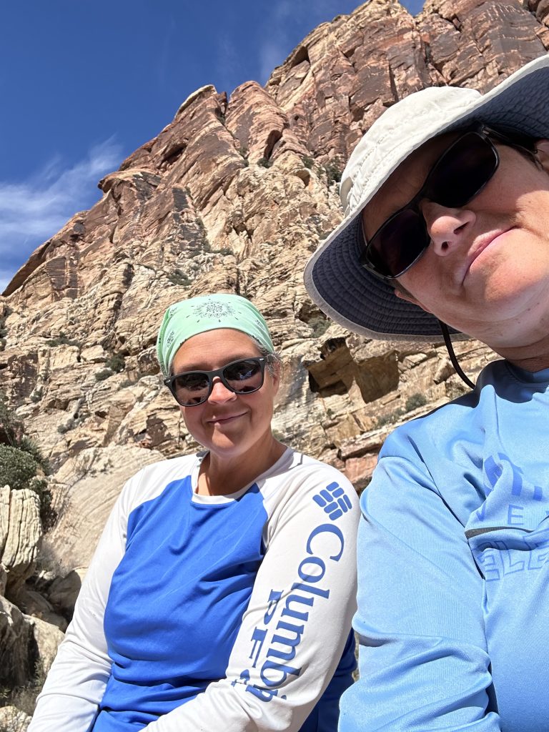
Turtlehead peak is pictured behind us. When we first arrived in Vegas two years ago we were somehow “talked” out of this awesome hike. The way the hike was described by many people on various hiking apps it made us question our ability, and if it would be safe for us to hike. We were experienced hikers, with many skills, but the desert and red rock especially was a new experience.
We completed many desert hikes throughout the year, most of which we had much less information about and were significantly more difficult. This peak was our priority when returning to Vegas this past winter. The trail to the top is 2.5 miles and gains 2000′ of elevation. Starting from the sandstone quarry parking lot the trail begins hiking through a gravel wash. It then soon climbs a ridge and becomes a rugged ascent beside a small canyon.
Once we reached the saddle, which can be seen to our left in the picture, we began a steady climb to the top of Turtlehead. There was supposed to be a loop trail to the top, however we could only follow short chunks of the trail. It had recently snowed at the park and there were tracks everywhere. We set our sights on the top and hiked up.
Apps
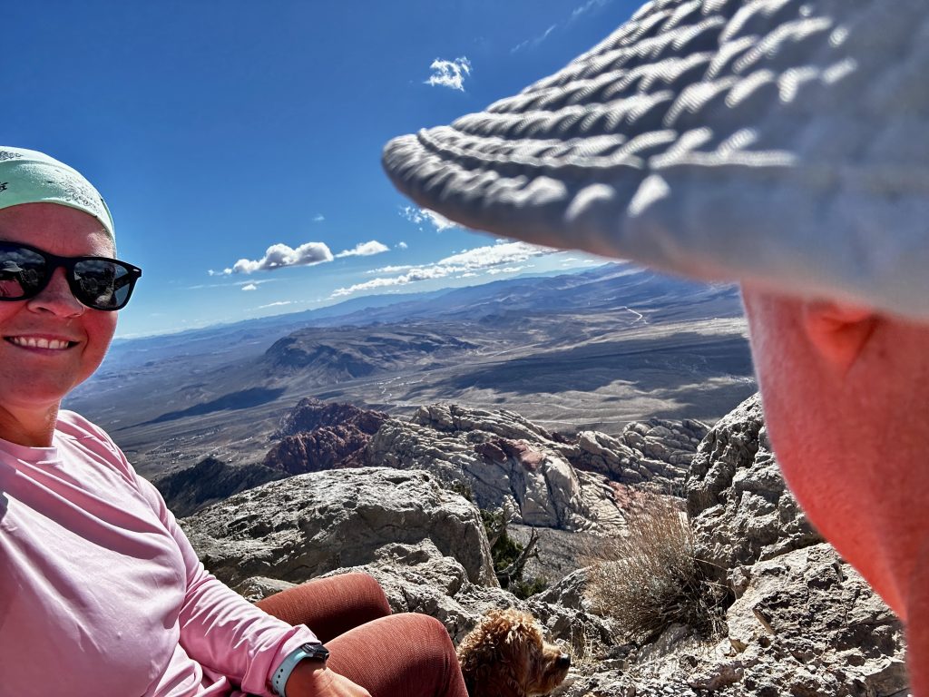
Apps only tell part of the story, so much more goes into finding trails and picking the right trails for your our enjoyment and ability. As we enjoyed our lunch at the top with a few other people, we learned of several other local hikes which we added to our list. One of the favorite parts of our full-time RV journey is meeting others and learning about the local things!
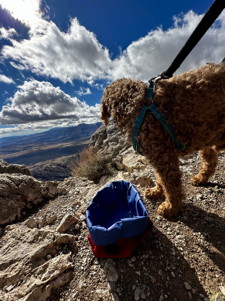
Now, after completing the hike, I would consider it a non-technical moderate hike. Up and down the five mile trek took us only four hours including our lunch at the top with Jess carrying Teddy the entire way. When using apps, I have now learned how to quantify others reviews. Most apps allow you to look at other hikes the person has reviewed.
From looking at this information, I can get a feel for the type of hiker the person is. For example, a person on their first hike will most likely have a much different opinion than a person who is an avid hiker. In addition I often find local trails which I might not have discovered. Apps, are a valuable asset, but learning how to find the information most valuable to you takes some practice.
Ice Box Canyon
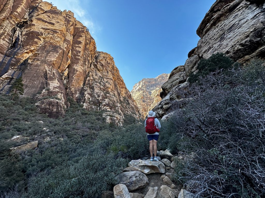
Ice Box canyon is part hike, part expedition, and all fun! It is describe as requiring some tricky boulder hopping in the Red Rock trail description. I would describe it as a full body workout! The trail starts from the Ice Box canyon parking area and is 2.6 miles round trip with 300′ of elevation gain. That sounds like a quick simple walk and we should soon be on to the next. Nope!
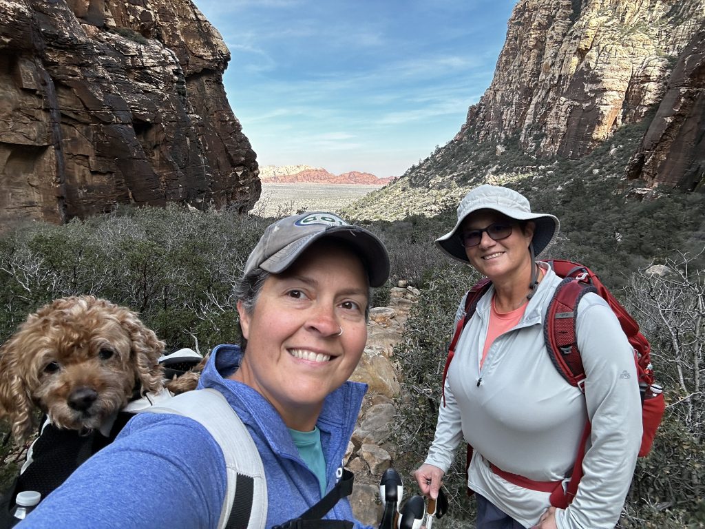
After a brief walk through the open desert we were led into the canyon. That is where the fun begins. There is a trail, sort of. This canyon is dependent on snow melt and rain, therefore the amount of water flowing varies. Much of the year there is no waterfall. We hiked in the winter after a snow fall and there was a small waterfall with lots of water still in the canyon.
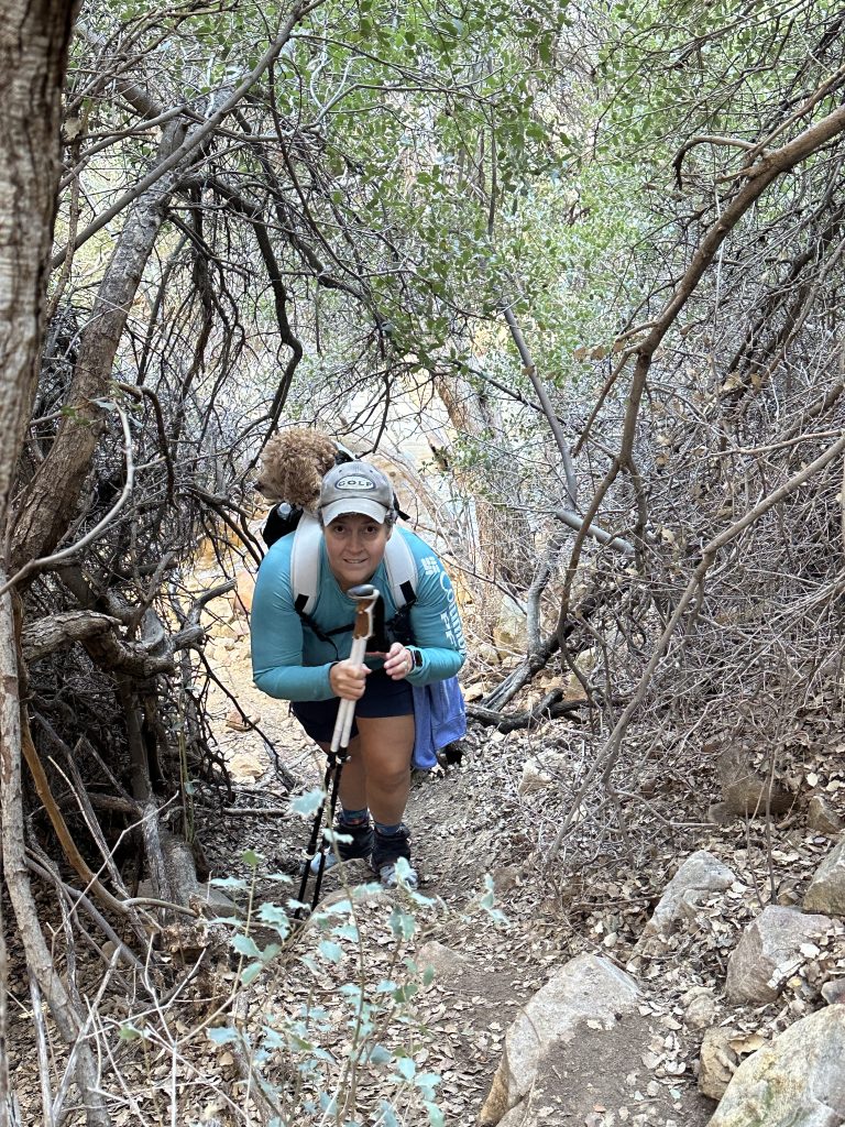
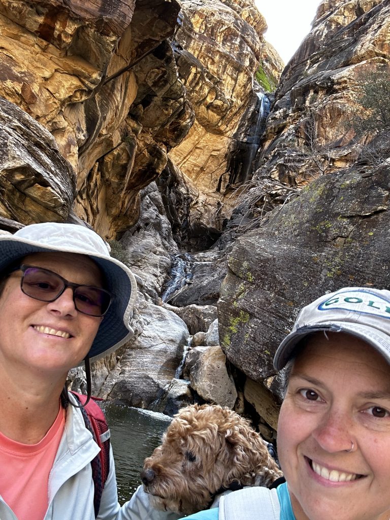
Because of the varying water levels many hikers have forged their own trails on both sides of the canyon. We were constantly crossing the creek, hopping across rocks, and trying not to fall in. Most of our mileage was traversing back and forth trying to find the best route through the thick vegetation and boulders. When we finally reached the end of the canyon we were rewarded by this beautiful pool and waterfall.
First Creek Canyon
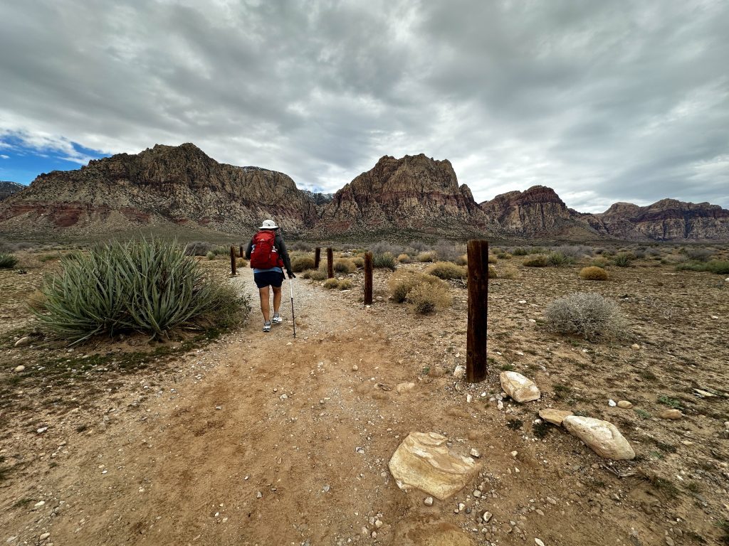
Access to first creek canyon is outside of Red Rock National Conservation Area from NV 159. Therefore, no parking pass or timed entry is required. First Creek Canyon winds its way through first creek and eventually makes its way to the summit of Mount Wilson. Alltrails states a distance of 7.9 miles and 3412′ of elevation gain.
We were expecting a difficult climb and decided to leave Teddy at home so we could move faster through the canyon. Although we would be able to move faster without the dog we still have a limited amount of time we can be gone. We typically like to be gone no longer than eight hours and this often leaves us racing the clock.
The first part of the trail is wide and busy, it is used by many rock climbers for access to climbing routes. The canyon narrows and follows the creek when water is present. It becomes steep, thick with vegetation, and hard to follow. Many hikers turn around as soon as they see the creek, but if you keep climbing you will be rewarded with even more incredible views.
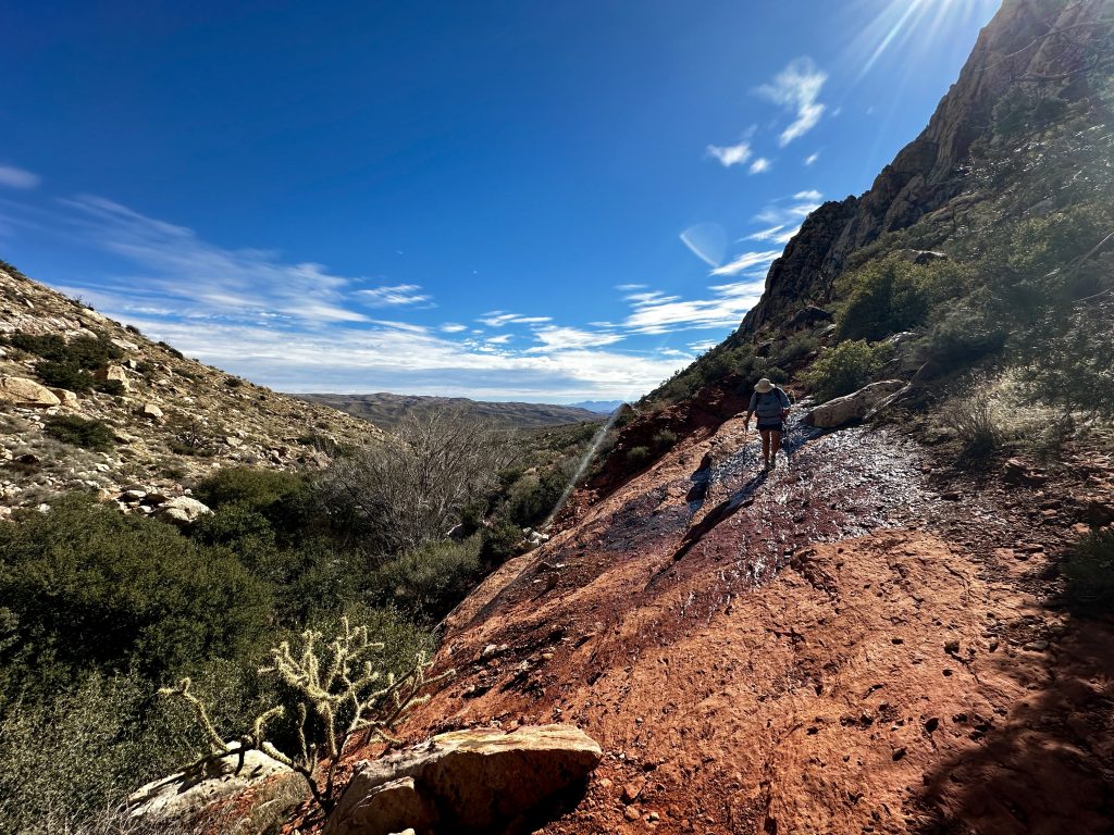
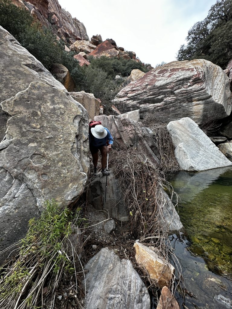
The climbing is difficult and we traversed across the canyon many times. After several hours of hiking in the creek we realized we were traveling too slowly to reach the summit of Mount Wilson today, and still get home in time to take out Teddy. We decided to turn around, found a wonderful spot for lunch, and enjoyed watching several rock climbers. We hiked about five total miles, which means we still had about a mile and a half to go to reach the summit. Choosing to turn around is always a tough decision, but sometimes necessary. Maybe next time.
Lost Creek Canyon
Lost creek canyon is a wonderful short hike, beginning from the large parking area off the hairpin turn on the Scenic Drive road. The area includes the Willow spring picnic area, petroglyph wall trail, La Madre spring, Lost creek and more. The children’s discovery trail is also a popular trail beginning in this area. The large amount of parking fills up quickly, however, because most of the trails are short there’s a constant changeover of vehicles. Be patient if you arrive to a full parking area, typically a spot will open up soon.
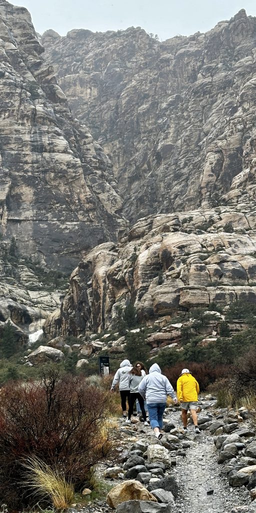
On this particular trip to Lost creek it was raining, but family was in town visiting and this is one of our favorite places. We walked a short distance in the rain and were rewarded with the incredible waterfall in the picture above! The trail was not passable after the boardwalk because the creek was a rushing river. It was an incredible sight! The volume of water pouring through the canyon was deafening.
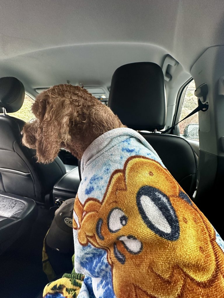
Teddy even enjoyed the quick walk to see the waterfall. He especially enjoyed being dried off and wrapped up in his favorite Scooby-Doo towel afterwards! (He has such a rough life!)
A surprise Stream
On our way back to the car we were able to witness an amazing sight. We crossed this dry wash on our walk in to visit the waterfall. After only a short amount of time watching the waterfall and viewing the creek, we returned on the same trail back to the car. When I reached the previously dry wash, I was amazed to see a small stream beginning to form.
After watching for just a few minutes the water had already doubled in size. I was happy we returned when we did because just a few minutes later we would have gotten our feet wet. It was a flash flood, the first we had ever seen. We were in no danger, however the reality of what was happening and the speed at which it was happening was incredible and unsettlingly.
Since this event we have seen many much more dangerous situations. I am thankful we had this experience and it has helped us be more aware of potential danger while we are camping and exploring in the desert.
Interestingly, while we were watching the news later that evening there was a story showing that the park had been closed in the early afternoon because of road flooding. Our timing had been fortunate and perfect. That’s the amazing thing about exploring, we never know what we are going to find! Live Simple Live Simple
For additional information about other areas to explore outside of Las Vegas see our Death Valley and Valley of Fire blogs.