Capitol Reef National Monument formed in 1937. Then in 1971 it became Capitol Reef National Park. The park is 242,000 acres and protects the Waterpocket Fold. Waterpocket fold is a wrinkle in the Earth’s crust. It stretches from the Thousand Lake Mountain Range to Lake Powell, almost one hundred miles. The formation is so large and distinctive it can be seen from space. The geologic process which created this phenomenon, took place over millions of years.
I’ll try to explain it, but I’m not sure I entirely understand it. What I do understand is an enormous amount of sedimentary rocks built up because of oceans, river and swamps, which once existed here . Limestone, sandstone and shale as deep as 10,000 feet. Then, an ancient fault located here uplifted instead of the tectonic plates sliding over one another. The layers on the west side of the fault rose to over 7000′ above those on the east, but instead of cracking it folded over the fault line. This happened several times over many years. Subsequent water and wind erosion created what we see today. Some classic features pictured below.
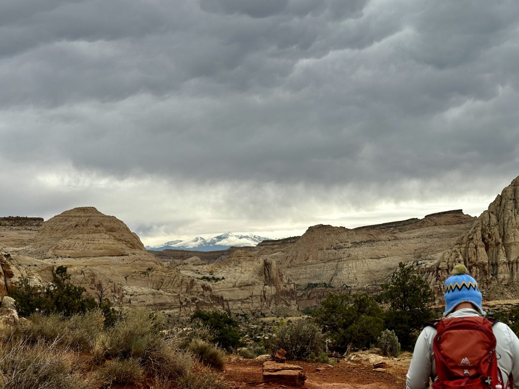
Capitol dome is the formation in the left of the photo, named because of its resemblance to the US Capitol building.
The formation to the right is called Pectols Pyramid 6207″ elevation. The formation is named after the founder of Capitol Reef National Monument.
Ferns Nipple is the distinctive peak in the center of the photo. As the story goes, Butch Cassidy named the peak, after a girlfriend. Navajo Sandstone forms many of these features. Fern’s Nipple formed over 180 million years ago.
Hanksville, UT
Hanksville, Utah is our home base for our exploration of Capitol Reef National Park. Nearby is the Mars Desert Research Station, a private facility which conducts many research projects in a confined environment. If you would like a glimpse of the facility a great view is available in the parking area along “Cow Dung Road”. A campground, gas stations, restaurant, and souvenir shops are located in the center of town. Hanksville, boasts just over two hundred year round residents. With Capitol Reef National Park to the west and Goblin Valley State Park to the east, Hanksville is a popular tourist area.
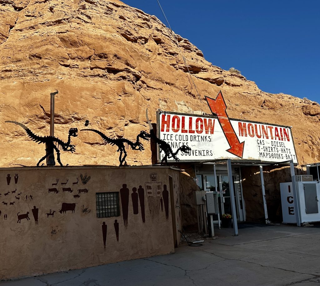
The famous Hollow Mountain store is located in Hanksville. The store exists entirely within the rock formation. Other than being within a mountain it is a typical conveince store. Selling gas, groceries and souvenirs. It was created using 100 cases of dynamite, and opened on Memorial Day in 1984.
The day we arrived in Hanksville it was raining, and snowing in the high country. Although, we didn’t realize it at the time this perception would alter our visit to the area and the park.
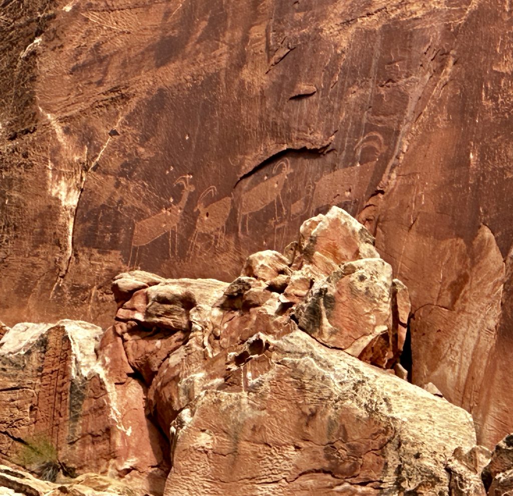
Petroglyphs Trail
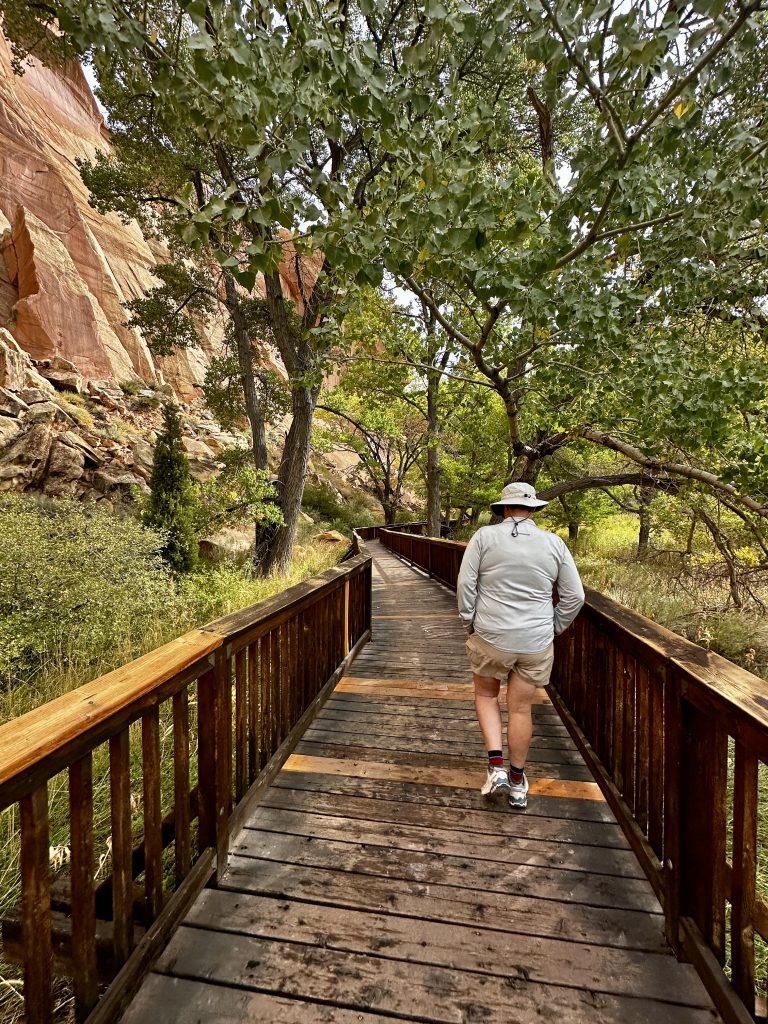
The petroglyphs trail is .3 tenths of a mile long one-way along this marvelous boardwalk. The people who left these petroglyphs and pictographs lived here between 300-1300’s. They were ancestors of the modern day Paiute, Hopi, and Zuni. Many of the petroglyphs are difficult to see, look closely.
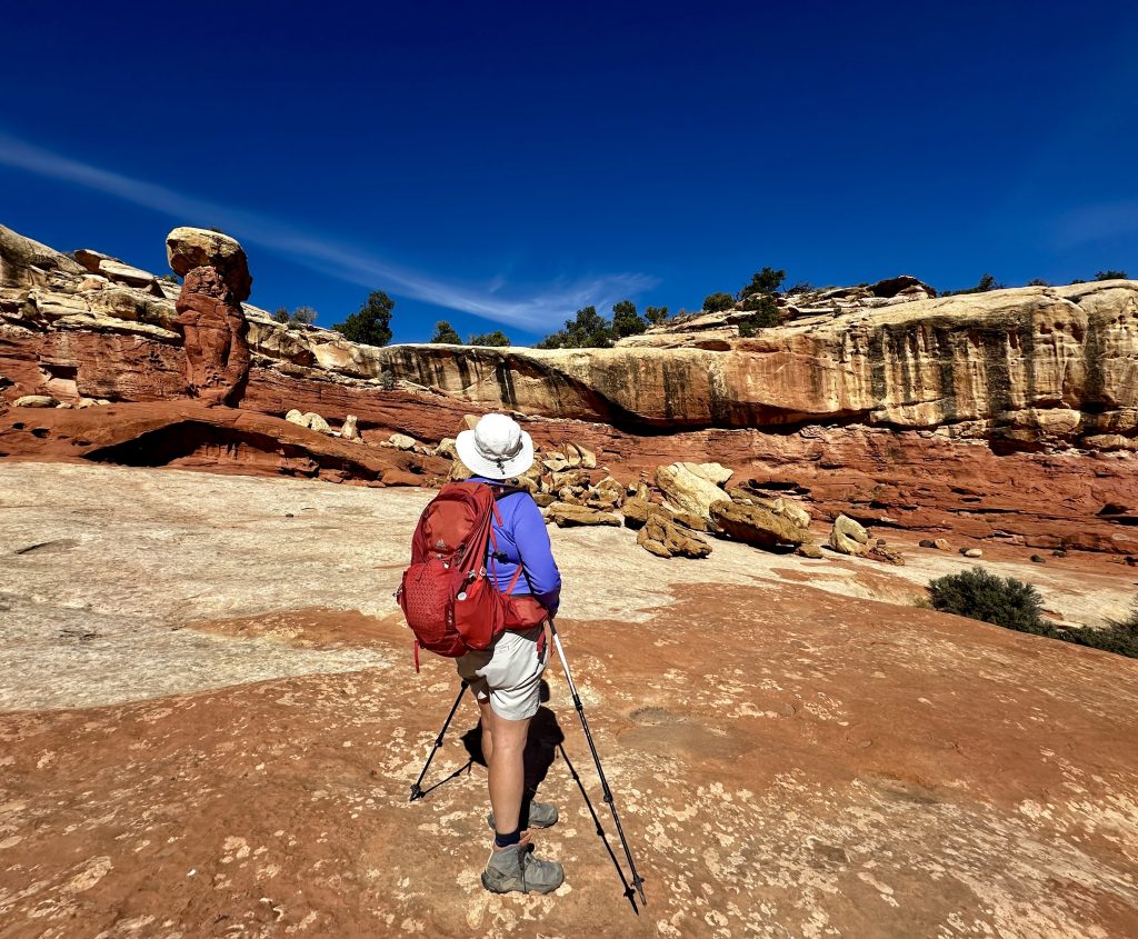
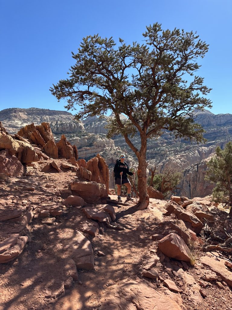
Rim Overlook
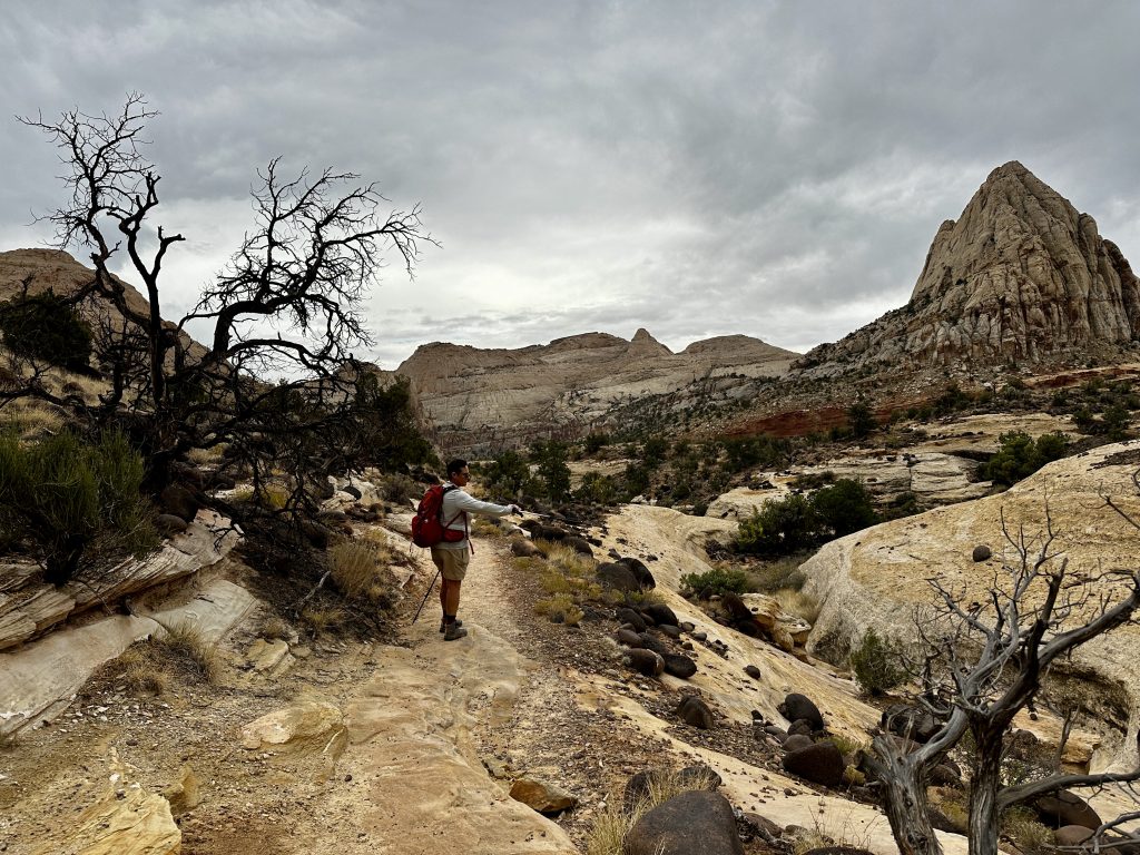
The Rim Overlook trail and Hickman Bridge trail begin from the same parking lot. We climbed a few tenths of a mile, when the trail split. The trail was extremely busy. However, at the junction everyone else continued hiking straight along the Hickman Bridge Trail. Jess and I looked at each other and we both turned right on the Rim Overlook trail. The Rim Overlook trail is 4.3 miles long and gains over 1000′ of elevation, which is twice as long and twice as much elevation gain as the Hickman Trail. It was perfect!
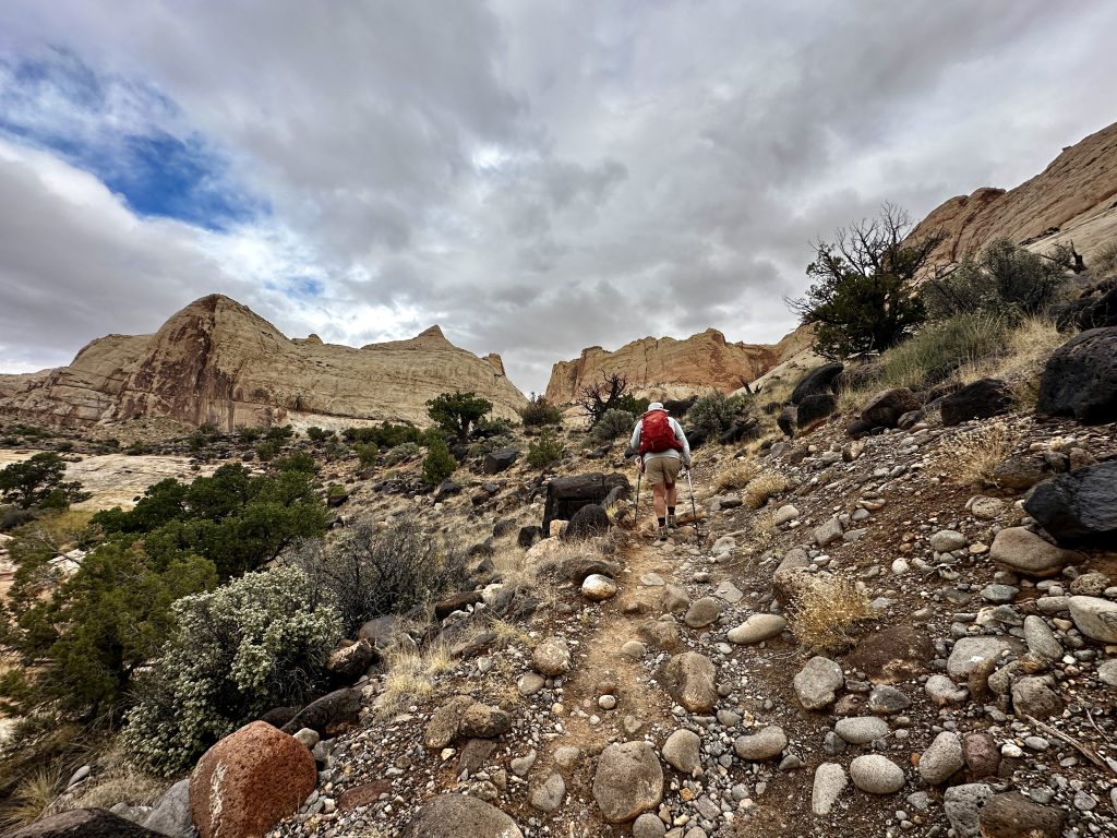
Reward was immediate. We had the trail to ourselves. It was amazing with incredible views. The picture above shows huge volcanic basalt boulders scattered amongst the granite, sandstone and limestone.
The trail is easy to follow, with good footing.
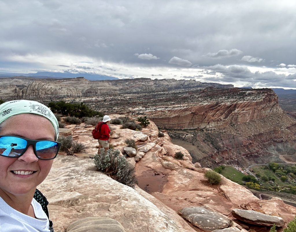
In no time we reached the look out with great views over the Fruita Valley! If you would like to continue hiking the Navajo Knobs trail begins at this point, it is an additional 2.4 miles one-way and about 1100′ more elevation gain. We decided to eat our lunch, enjoy the view and take in the wonder of this place.
Hickman’s Bridge
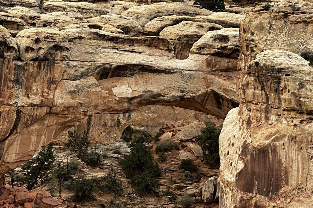
Look closely! Hickman’s bridge is not easy to see at first. In fact, Jess had to point it out to me. Because, we had decided to hike the Rim Overlook trail instead of the Hickman’s bridge trail, I wasn’t expecting to see the bridge. Shortly after the trail junction we arrived at this look-out. I stood staring into the canyon below, when Jess asked if I saw the arch? With her help, I finally saw the tiny people and then Hickman’s bridge.
The natural bridge is 125′ tall and 133′ long. It is made out of sandstone, and formed about 65 million years ago. The trail to Hickman’s bridge is 1.7 miles round trip with only a few hundred feet of elevation gain along an extremely busy trail. However, that is the only way to be able to climb under the bridge.
Johnson’s Orchard
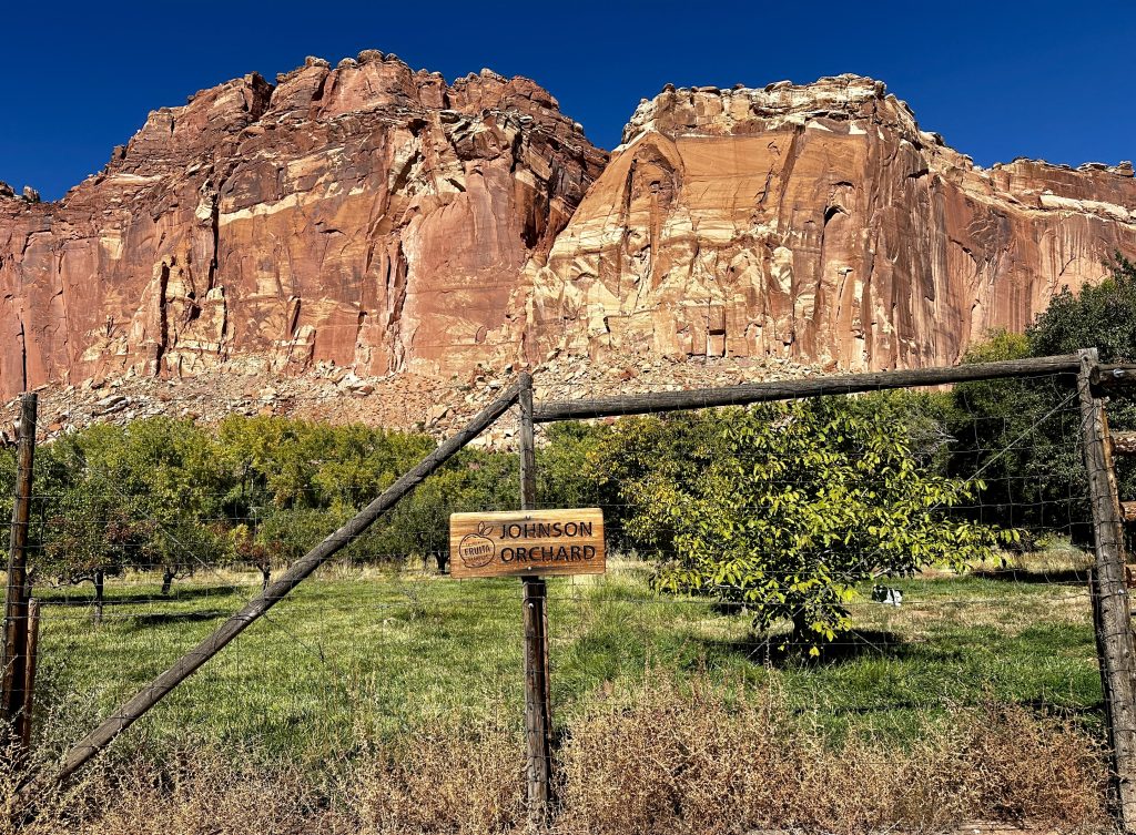
Mormons established the town of Fruita. They settled in the area in 1880’s and planted orchards and crops. Sulfer Creek and the Fremont River created this fertile soil because of years of deposited sediments. The Mormons also built irrigation systems and maintained a self-sustaining lifestyle. They established several varieties of orchards in their time in the valley. Apples, apricots, almonds, cherries, pears, peaches, plum, and walnuts thrived.
Today Fruita is the center of park activities, including the main campground and visitors center. It is located off highway 24 between Hanksville and Torrey. The park maintains the orchards, which are still thriving with more than three thousand trees. Visitors are encouraged to pick ripe fruit to eat, for free. However, If you choose pick a bag of fruit a negligible fee is charge at a self-pay station.
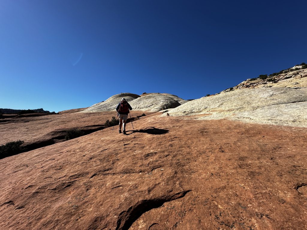
Cohab Canyon Trail
The Cohab Canyon Trail is 3.3 miles long and gains about 800′ of elevation. It begins across the street from the Gifford House, where they sell the amazing fruit pies, near the visitors center. The trail is all business right from the start, most of the trail’s elevation is gained following a series of tightly packed switchbacks. I was going to count the switchbacks, but then got distracted by the beautiful sights I was seeing. Let’s just say it was a lot!
Interestingly, the canyon floor is located about four hundred feet above the valley floor. Once we reached the canyon entrance, the canyon walls rose up steeply on both sides. It was amazing. Once inside the canyon the trail follows the sandy wash just like in many other canyons.
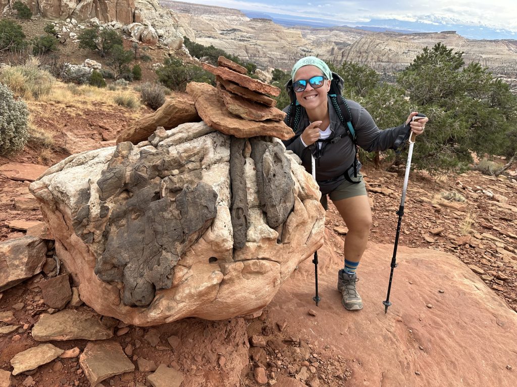
North & South Fruita Overlook
The North and South Fruita Overlook trail begins from a point along the Cohab Canyon Trail. The trail to the outlooks proved difficult to find and we ended up hiking right by. When we arrived at the next trail junction we realized our mistake. We met another couple there who was also looking for the Outlooks trail. Together we looked at our maps and checked our navigation apps and decided on a direction of travel. In a few minutes we had found the trail. It was marked by a very small cairn, less than six inches in height, which blended in with the landscape.
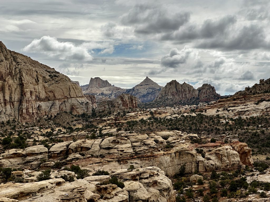
The trail was amazing with beautiful red rock formations. The trail could be described as a red rock highway. Hiking to the outlooks doubled our elevation gain, but every step was worth it.

The North Outlook view, overlooking the Fruita Valley and orchards.
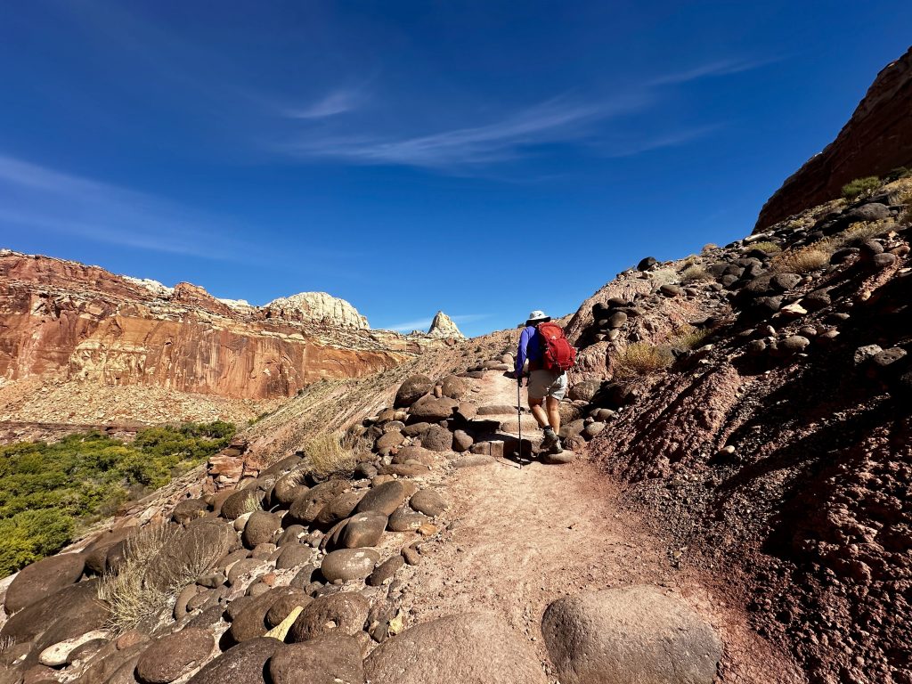
Grand Wash
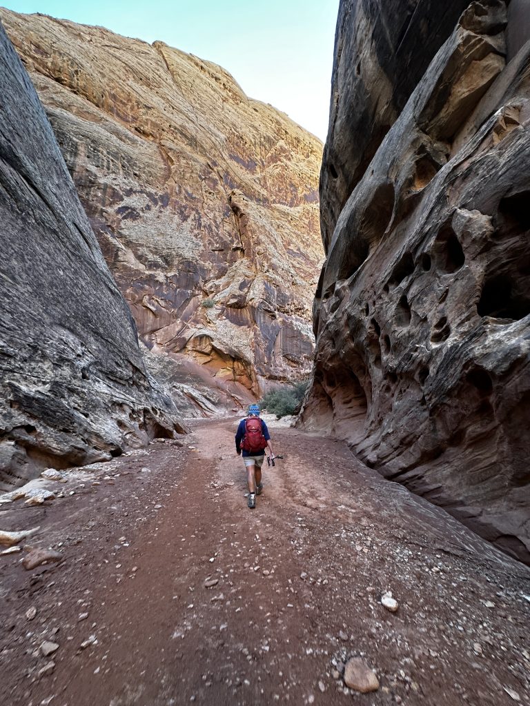
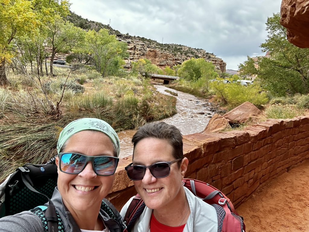
Dry riverbeds are called washes. When there is a rain or snow event, the water flows through these washes until it’s gone. Our visit to this area has been impacted by recent rains and a snow storm in the higher elevations a few days ago. As you can see in the photo, the water is gone but the clays and mud remain. Many park and local roads, which access trails and geological features are not passable because of this.
The trail through the Grand Wash is 2.2 miles before reaching the Cassidy Arch Trail. Hiking through washes is very common in the dessert. It’s not my favorite type of terrain, usually resembling beach sand or fine sediments. Sometimes it’s additionally a hodgepodge of various sized boulders, which we must navigate our way through. However, these washes are basically highways through these amazing desert environments and provide the opportunity to explore.
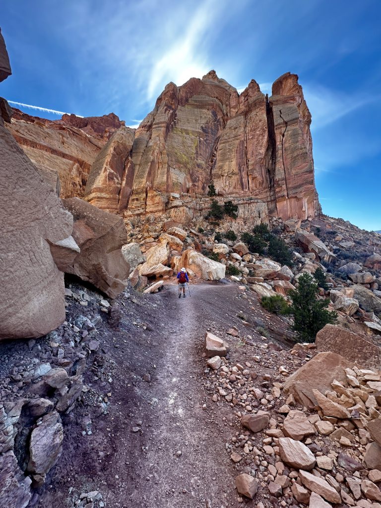
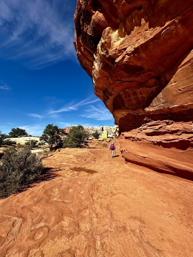
Cassidy Arch Trail
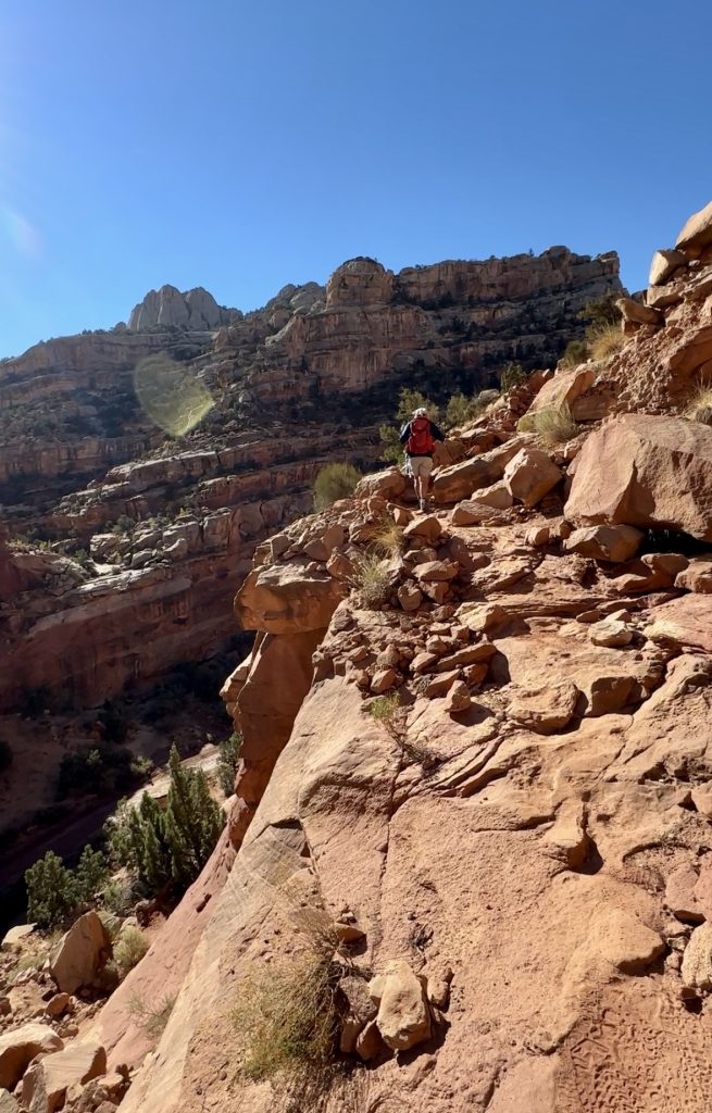
The trail to Cassidy Arch will test you if you’re afraid of heights. The trail is one of the narrower ones we have hiked, with steep drop offs. I don’t recommend a slip, but the views are incredible! A steep, quick ascent along the edge. Typically, the shortest route to the trail can be reached from the main park road. But because of maintenance and road closures, there were only two options. One was a long hike combined with the Cohab Canyon and Frying Pan trail the other was a hike through the Grand Wash Trail. We chose the Grand Wash Trail.
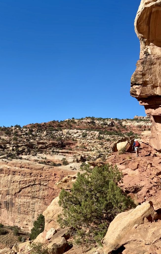
From the canyon the Cassidy Arch Trail is 3.1 miles round-trip. It gains just under 700′ in elevation. The trail is amazing, with a gradual ascent across marvelous red rock after the initial steep climb.
Amazing views!
I recommend shoes with good traction. Also a reminder, if you are inexperienced hiking on red rock, don’t take it for granted. It feels great climbing up, however the down doesn’t usually feel as good especially if there are thousand foot drop-offs, if you slip.
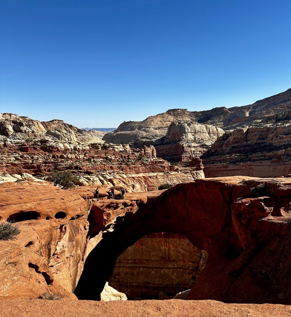
When we arrived at the arch there were many people exploring and climbing in the area. We stopped, enjoyed a snack, and took in the views. Areas like this tend to make me a little uncomfortable, because there are so many different experience levels. Hikers with limited experience often find themselves in trouble, when they exceed their abilities following more experienced hikers. They inadvertently put themselves in a dangerous situation, which they need help getting out of. Throughout our years, we have helped many. If you are interested in seeing more click here to see the video of our hike to the arch.
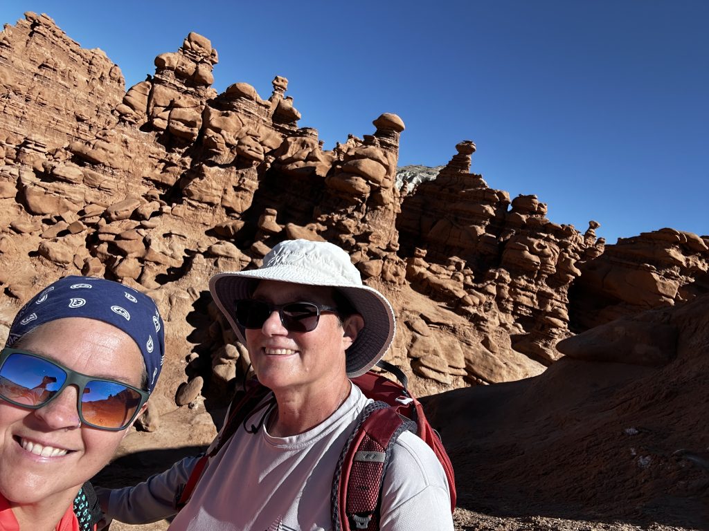
Goblin Valley State Park
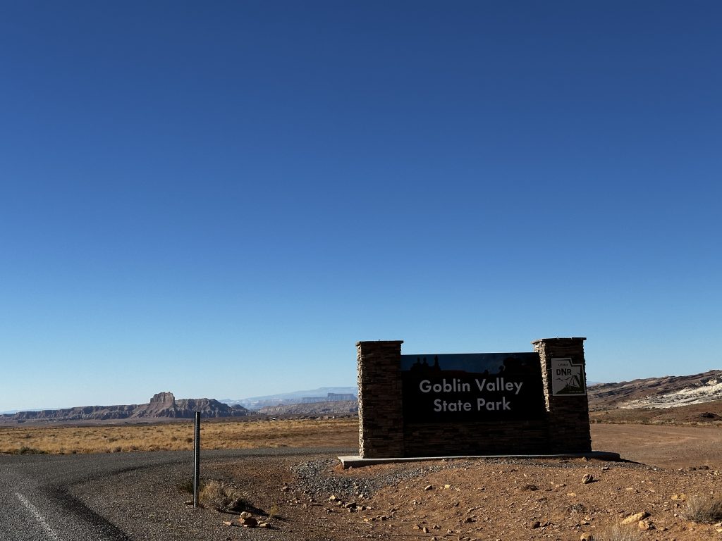
The three valleys of Goblin Valley State Park have thousands of hoodoos. Visitors are allowed to wander at will and explore the incredible formations. Additionally, there are several canyons which can be hiked just outside of the park. But, because of the recent rains the rangers recommended against that. They said the water was waist deep and required swimming in many areas. Just like in avalanche territory it’s best to ask rangers about local conditions and risks. Canyons, especially slot canyons are especially dangerous when it rains.
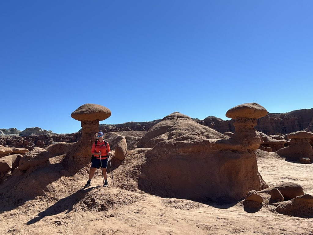
We explored for several hours, walking from one amazing feature to the next. I felt like Mario and Luigi in a life sized Mario world. The rock formations are beautiful and amazing to see.
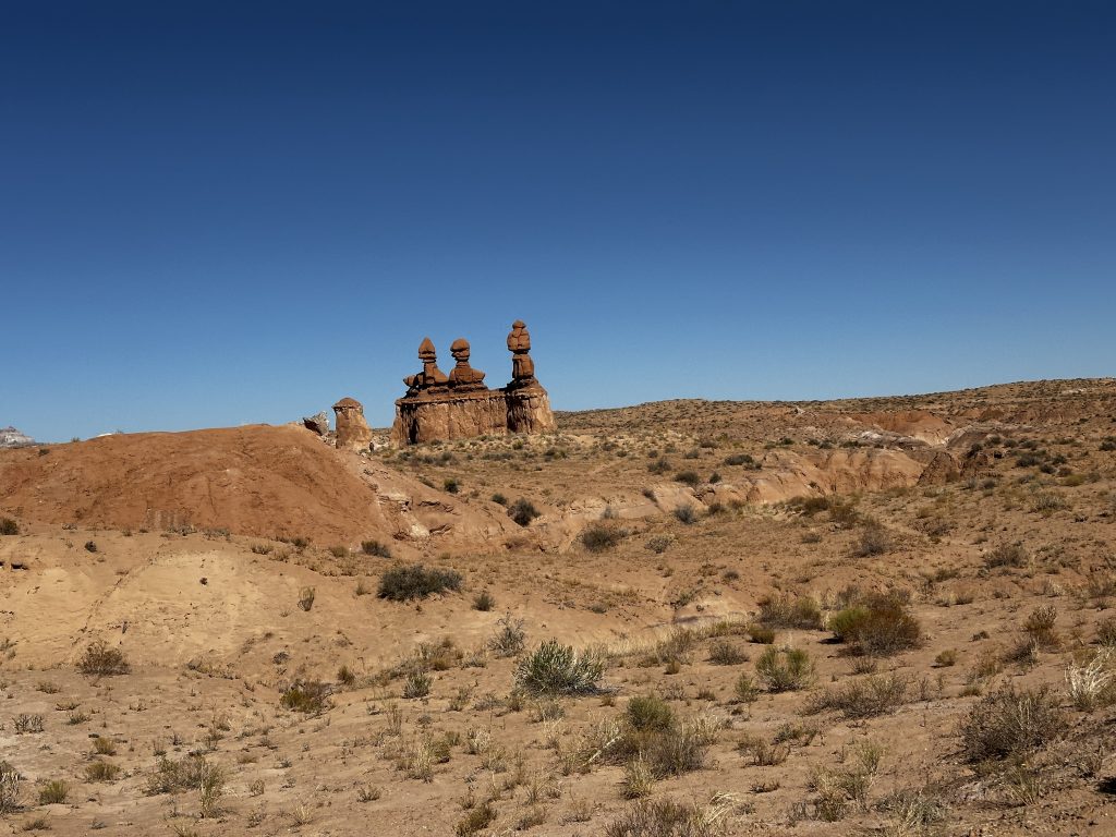
Three Sisters Formation, which is featured on post cards and park literature.
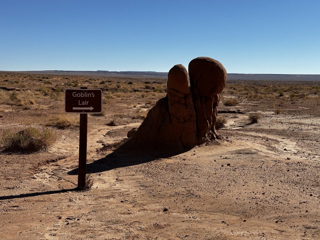
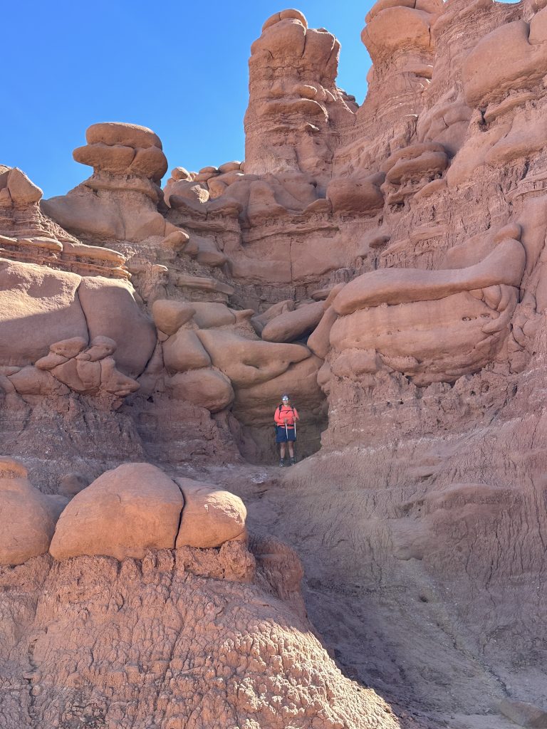
Goblin’s Lair
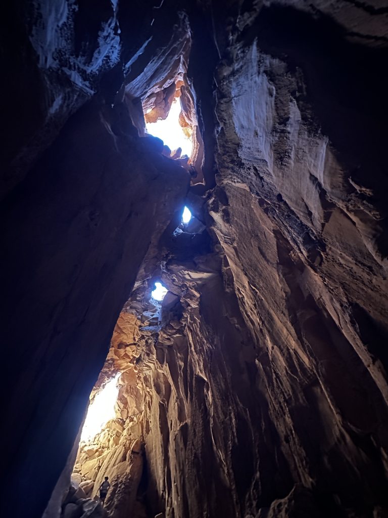
The Goblins Lair! A huge Cavern about 100′ deep, with several skylights. The entrance to the lair is obstructed by a rock fall. Which requires a significant climb through irregular large boulders, up to the entrance and then back down into the cave. Rock scrambling at a high level down big drops on the inside of the cave and steep, slippery soils and rock on the outside of the cave.
When we arrived at the cave a family with several young children were emerging from the cave. The parents were lifting the smaller children up the rocks and the older children were navigating the slippery ground like pros. Because the passage is quite narrow, we waited for them all to exit. When it was our turn, I was even more impressed with the skill of the kids. The climb was challenging.
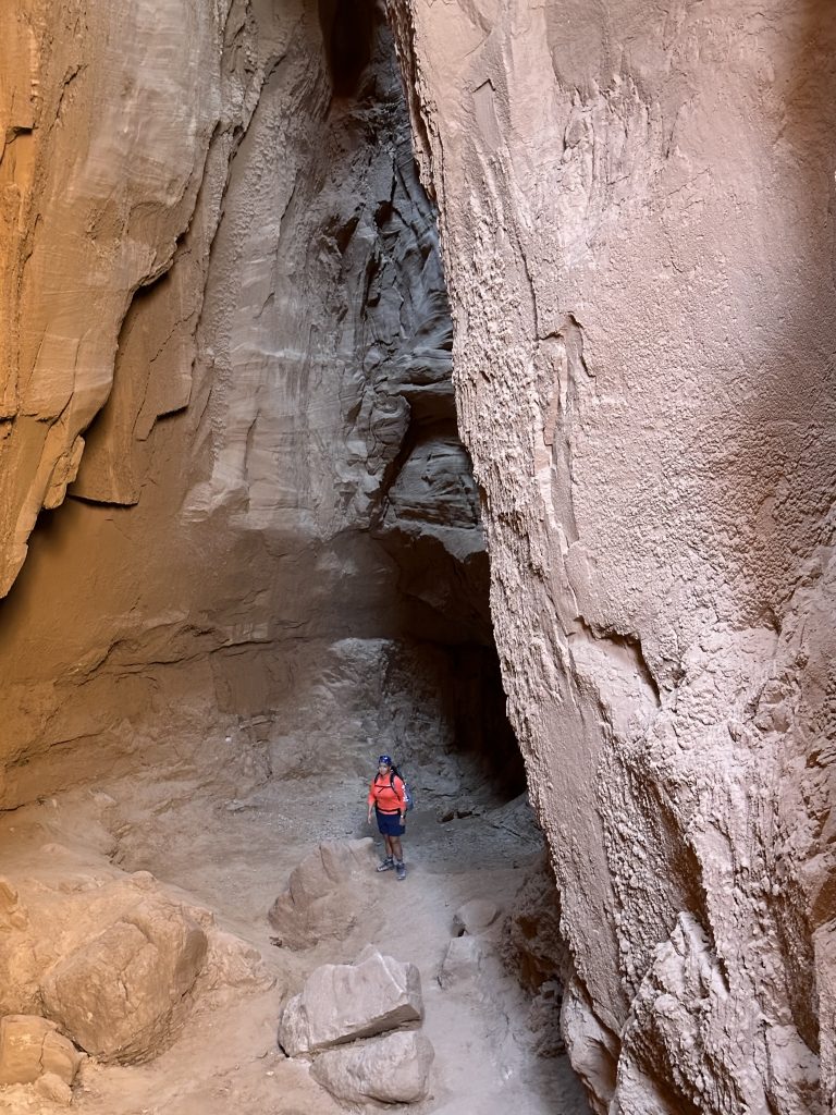
The cave is amazing! One of the biggest we have seen in our travels.
Amazingly, the lair is “hidden” behind these beautiful formations. The trail to enter the lair enters from the other side of the formations. To reach the entrance requires a 2.3 mile round trip hike. So close, but so far away!
Goblin Valley, Hanksville, and Capitol Reef were amazing places to spend a few days. Our trip was impacted because of local rain and road construction at Capitol Reef. There were many sights and places we couldn’t see, however our trip was still wonderful. We hiked a variety of trails, enjoyed the orchards and the history of the area. We hope to visit the area again, when we can explore more. Live Simple Live Happy