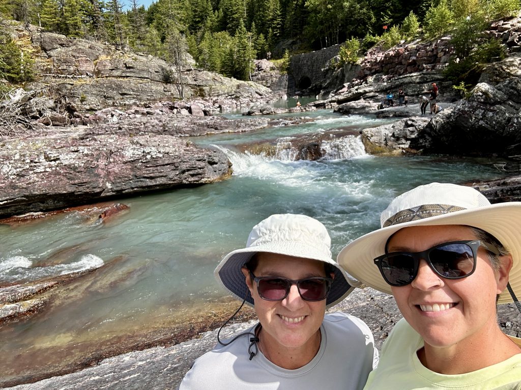
Glacier National Park has so many great trails and experiences. In writing my blog, A Snap Shot of Glacier, it quickly turned into more than one part. In part two there will be more amazing hikes and information useful in trip planning. We completed the hikes in Glacier National Park – A Snap Shot Part 1 & 2, over a two week period of time, throughout the end of August and beginning of September.
Our weather was wonderful overall with morning temperatures in the low forties and daytime temperatures between sixty and seventy. The perfect temperature range for hiking. We did experience a couple days of unusual cold with snow falling at elevations above five thousand feet. The Going to the Sun Road was closed temporarily and the rivers swelled with rain and melt water. The snow added to the incredible views of this rugged landscape.
We had the privilege of seeing the influence the rain and snow had on the rivers and creeks. The sides of the canyons glistened in the snowmelt. Waterfalls appeared where there had been none on previous days. Bright blue glacial rivers, temporarily changed to a milk chocolate color because of the additional run-off, then back to blue.
If you’re planning a trip to Glacier and want to roll the weather dice, early September could be the Goldilocks time. Be aware many campgrounds, roads, and facilities close mid-September because of snow and cold temperatures. However, there are less crowds. We were thankful to have above freezing temperatures throughout our stay and also experience snow in the park.
Avalanche Lake & The Trail of the Cedars
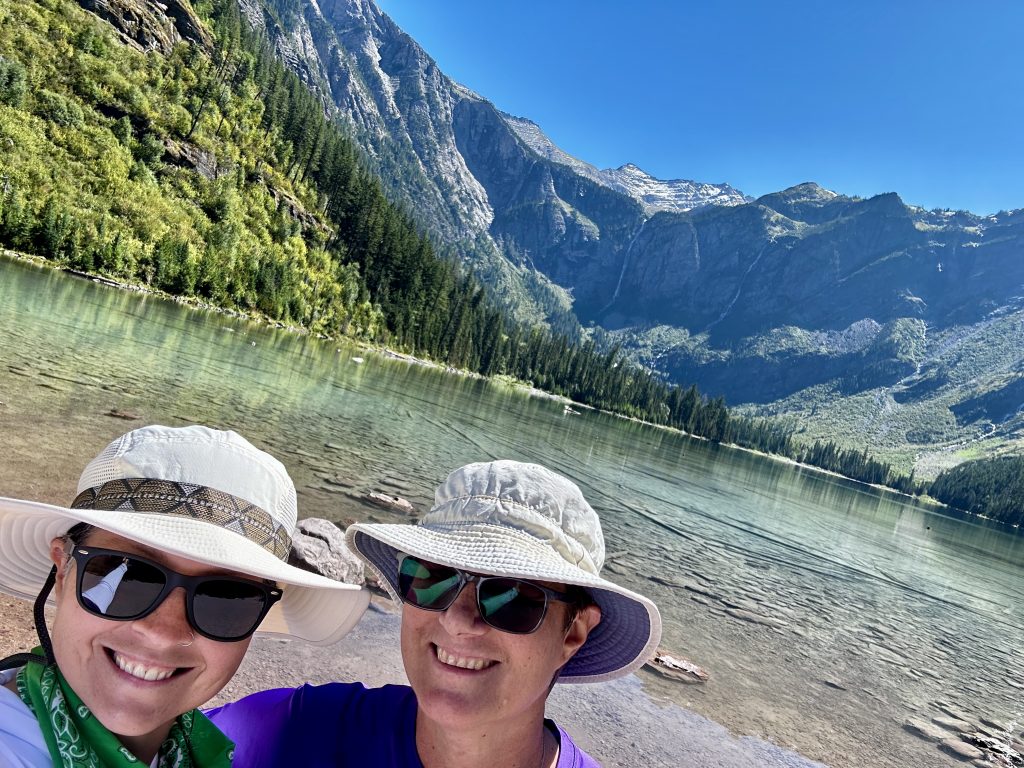
Avalanche Lake and the Trail of the Cedars were confusing on our map. Trail descriptions and mileages on other apps were all different, which is unusual. Therefore, we decided to go to the trailhead and hike what we could. These are popular trails and we knew parking would be challenging, however we hoped for the best and it worked out.
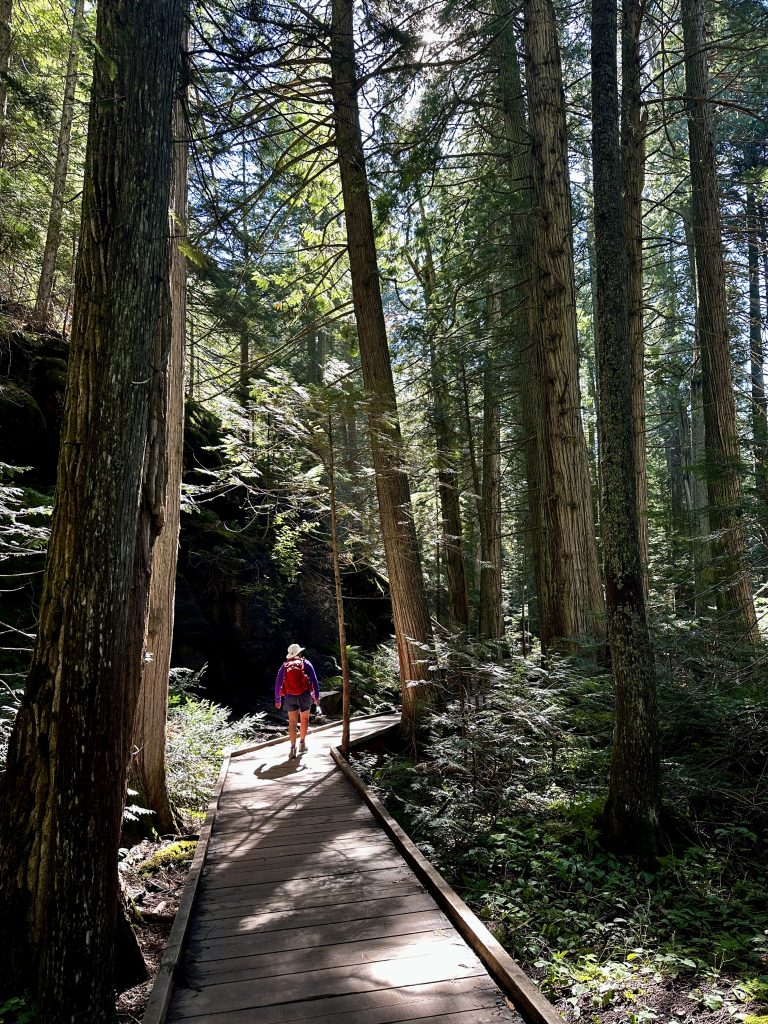
The Trail of the Cedars can be accessed from the parking area along the Going to the Sun Road or from the nearby campground. Part boardwalk and part easy walking flat trail, it offers a loop through some of the largest trees we have seen in our journey. Western Hemlocks, Black Cottonwoods, and Western Red Cedars were numerous and had information signs explaining their characteristics. The trees were large and their canopies so big that only small amounts of filtered sunshine made it through to the ground. It was significantly colder in the trees and an abundance of mosses were growing under the trees.
The Avalanche Lake trail begins at the far point of the loop hike. The trail is gradual and follows along the creek for a short distance, providing incredible views. Avalanche creek is beautiful! It was a gorgeous day and the trail was very busy. In no time we were standing in front of an amazing lake. A trail follows along the right side of the lake allowing people to spread out. There were ducks playing in the water and chipmunks trying to steal our lunch.
Avalanche Creek

I would recommend the Trail of the Cedars and Avalanche lake hike to anyone who wants to spend a beautiful day in the woods, and see some amazing sights. A great family hike and a reasonable walk for most. The trail gains about 600′ in 1.8 miles one-way. Total mileage depends on where you begin. We logged 4.5 miles hiking the complete loop of the Cedars Trail and an out-and back to Avalanche Lake.
Picnic spots
Glacier National Park annually records over three million visitors. The park is open 24 hours a day 365 days a year, however most services and many roads are closed throughout the fall, winter, and spring months. At the park’s elevation snow comes early in the season and lasts late into the spring. Typically by late June the Going to the Sun Road is plowed and opened for the year.
However, in the fall different roads are maintained for a specific length of time before closing for the season. It’s best to check the website for updates. This short season concentrates most visitors to the park in the months of June, July, and August. With more than one million acres there is more than enough space to spread out and find great picnic spots! The best spots might be hiding just off the road.
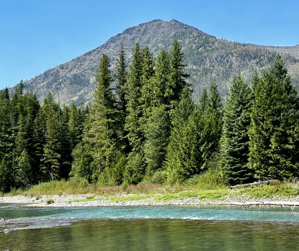
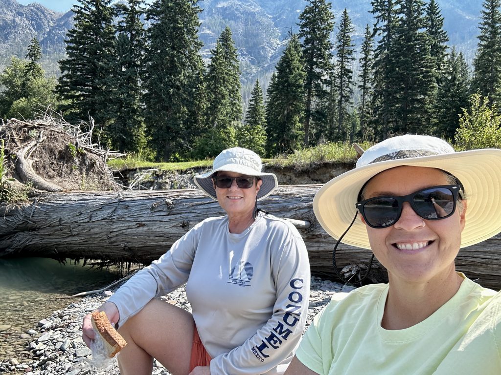
I’d tell you where this spot was, but you know the saying. I expected glaciers and mountains but, I was surprised by the amount of creeks, rivers, and lakes. There are many pull-offs along the parks roads, which provide access to less visited areas. We walked to lakes and spent hours fishing without seeing another person. This picnic spot was alongside one of the main roads down a banking and just out of sight. Sounds of the creek and birds in the air were great lunch companions.
What A Difference A Day Makes
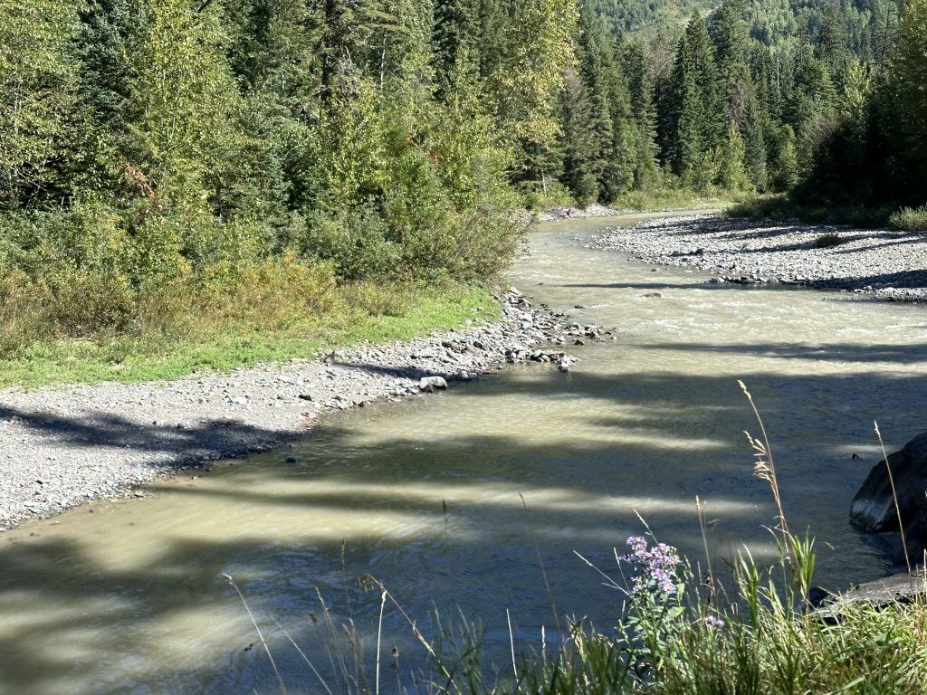
This is the same creek where we enjoyed our picnic. It was two days after the rain and snow storm. Still a great spot for a picnic, but looking quite different. We were surprised at the color change and the volume of water. It’s amazing watching Mother Nature. Millennia of freeze and thaw processes coupled with plate techtonics and erosion has created these beautiful places. In a couple more days the creek had returned to the beautiful blue we saw on our first picnic. What a privilege to see. Get off the beaten path just a little and discover your own best picnic spots!
Two Medicine Lake
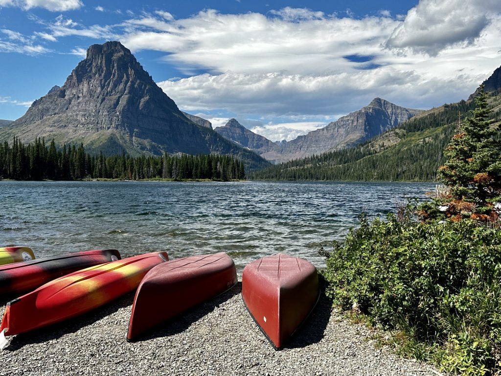
Two medicine lake is a separate entrance to the park with its own gate and rules. It is located South of the St. Mary’s Gate on the Eastern side of the park. Because we have a pup who is not allowed to hike with us in the National Park. We decided to explore this area by car and brought him along for the ride. We hope this is the first of many visits to this park. Recon is typically a beneficial activity in most places. We take pictures of maps at trailheads and survey services that are available. Thus, enhancing our overall experience when we can spend more time and truly explore the area.
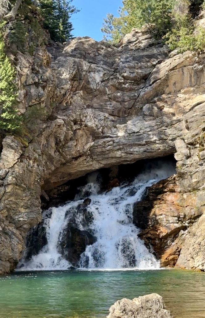
Running Eagle Falls was an unexpected treat. It’s a short .3 mile mostly flat walk to an amazing waterfall. The trail sign says it’s handicap accessible, however there is a bridge which will have to be navigated and then the trail climbs to a viewing area. This is the first falls I have ever seen which comes from within the rock formation. I read that at times of the year water does flow over the top of the falls too. It was stunning!
The waterfall is named after a female warrior leader of the Blackfeet Nation. She experienced a vision quest in the mountains above the falls. She was the only woman in the Blackfeet tribe who was given a male name, Running Eagle. Running Eagle led many war parties and successful raids. This area is a sacred and cherished place by the people of the Blackfeet Nation.
The Bears
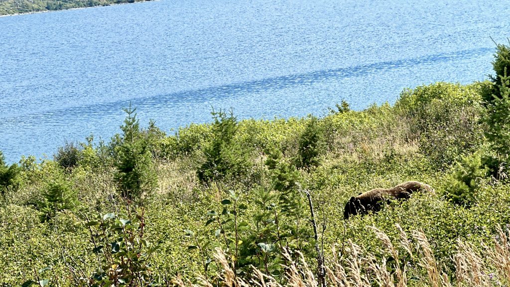
Glacier National Park is know for glaciers, beauty, and wildlife. It did not disappoint! We saw grizzlies and black bears both out on the trails, fishing, and in our car driving through the park. We took the picture above, when we encountered a Glacier National Park traffic jam. As we were returning back to the RV after a day hiking all the traffic was stopped in both directions. As this was the only road we were concerned, we needed to get back to Teddy. After several minutes of stopped traffic we were thankful when it slowly started to move.
As we approached the area with oncoming cars stopped and people hanging out their car windows, we realized there must be wildlife ahead. Fortunately, Jess has great eyes, and found the cause of the traffic jam. It was a mother Black bear with two cubs. We tried to capture the cubs in the picture but the scrub brush did a marvelous job camouflaging them. What a treat!
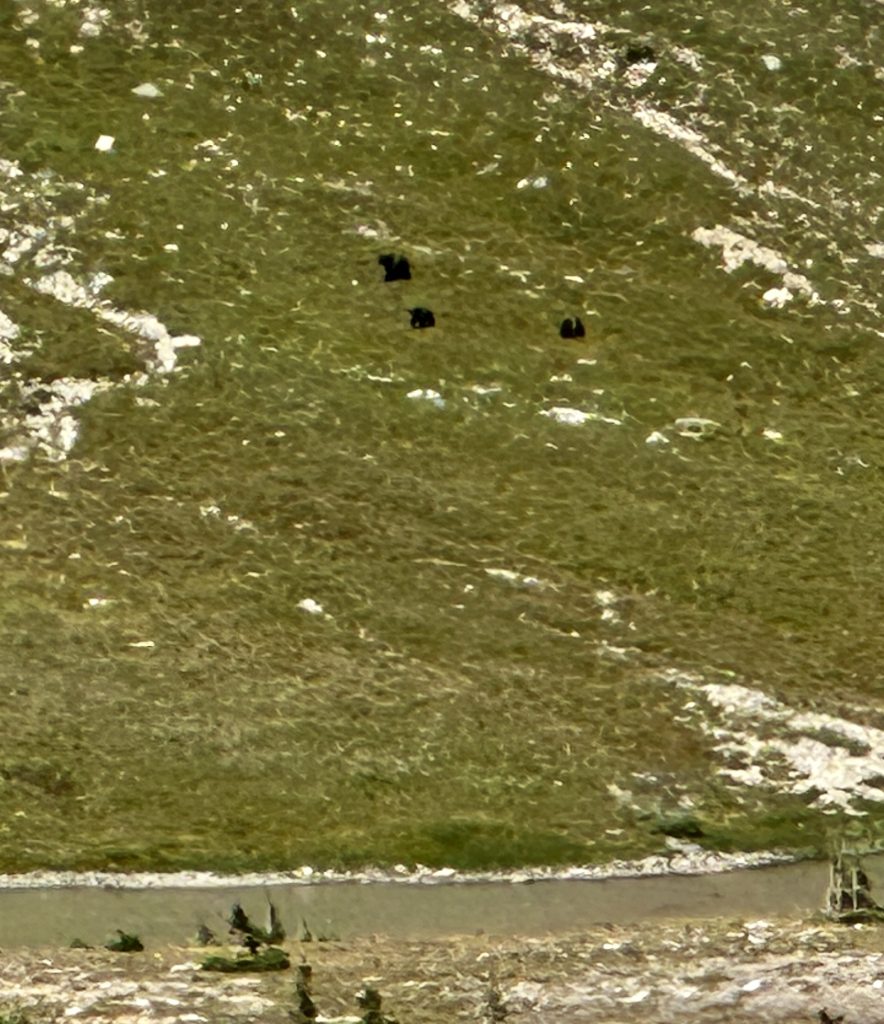
Seeing grizzlies on a trail is an entirely different feeling. We were fortunate how far away this family of grizzlies were, however we were walking in the same direction as them. Our senses were heightened and we boogied along down the trail. As I walked, I thought about the family of bears and the beautiful valley in which they were living their lives, and how lucky we are to get a glimpse into their world!
Beaver Pond Loop
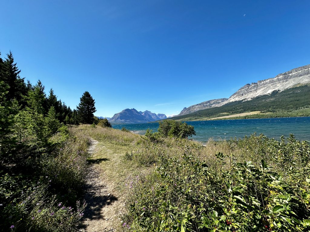
A short loop hike good for most that is accessed from the Red Eagle Trail, located on the left side of the road just before the St. Mary’s gate. In addition to beautiful views of St. Mary’s lake and a wonderful woodland beaver pond, there is a historic 1913 ranger station and a log barn. It was one of the first structures on the East side of the park. The Ranger station is on the National Register of Historic Places.
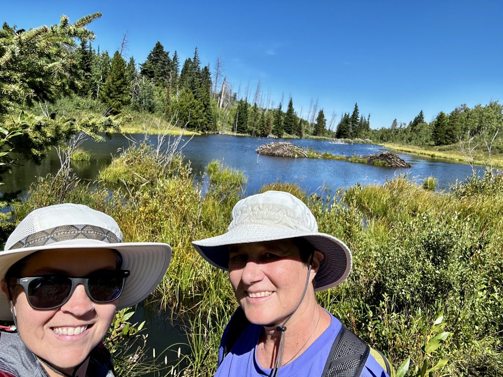
The round trip hike is an easy 3.6 mile loop with only 350′ of elevation gain through open terrain and Aspen groves. This was our second hike of the day and a wonderful afternoon walk. Much of the trail is exposed to sunlight, making it the perfect hike with the cool temperatures we were experiencing in the park. A wonderful trail to enjoy with family. Kids will find a bunch of fun things to explore and adults will appreciate the learning opportunities which abound.
Ptarmigan Tunnel
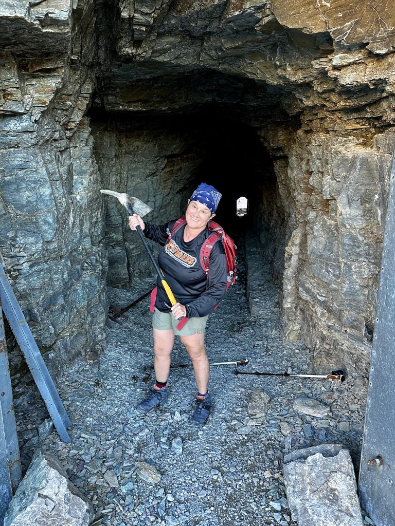
Ptarmigan Tunnel is one our favorite hikes in the park. The trail begins in the Many Glacier Campground. The Many Glacier area requires a timed entry pass to enter between the hours of 6am-3pm. All of the daily permits were claimed long ago, however a specified amount of permits are released daily the night before. We were ready with our phones at the 7pm time of release and in just four short minutes the two hundred additional permits were claimed. We were left with only one option, if we wanted to hike to Ptarmigan Tunnel, we had to get up early, drive the forty-five minutes to the gate and arrive before 6am.
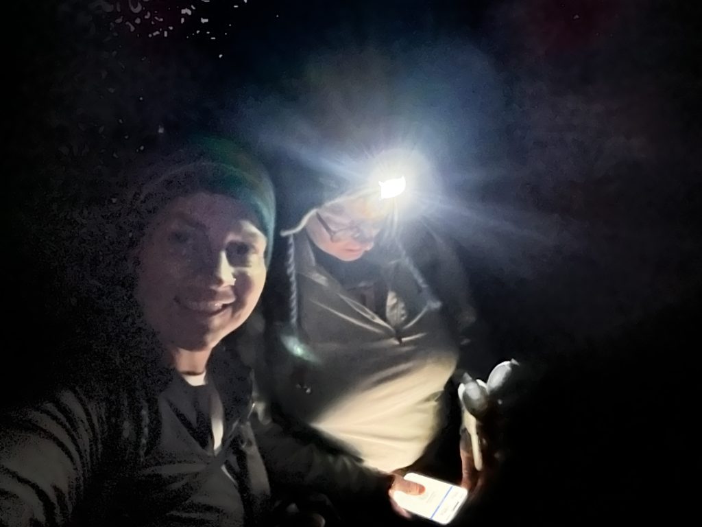
Knowing it would be dark and cold, we decided it would be worth it. It’s been a long time since we hiked in the dark. Why not hike with head lanterns in grizzly country, what could go wrong? Because of the early start, we made our lunch, packed our packs, and selected our clothing for the hike, the night before. I set two separate alarms which, I checked several times before bed. It’s been years since our life has revolved around an alarm clock. In fact, it’s only been recently, that after all my years of having to be up by 4-am have faded away, and I can finally sleep in.
Stunning Sunrise
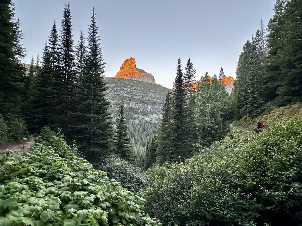
The sunrise was stunning! The light shimmered off the high peaks we were climbing towards, and the views were incredible. We were alone on the trail with our thoughts and the company of each other. For non-hikers, it’s difficult to explain the bond which forms with others who you walk through the woods with. Friends, partners, children, and strangers alike develop a kinship in struggle and accomplishment when spending time together in nature. This one picture and the effort it takes to get here says all that to me.
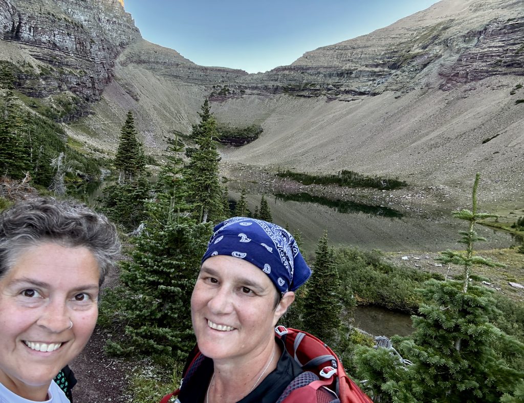
Ptarmigan lake is a quintessential glacial lake in Ptarmigan valley. The sun was just reaching the high points of the ridges when we arrived. We saw our trail in the valley ahead and were excited to be so close to our destination. In what seemed like no time, we successfully climbed the three very long switchbacks and arrived at our destination.
The Tunnel
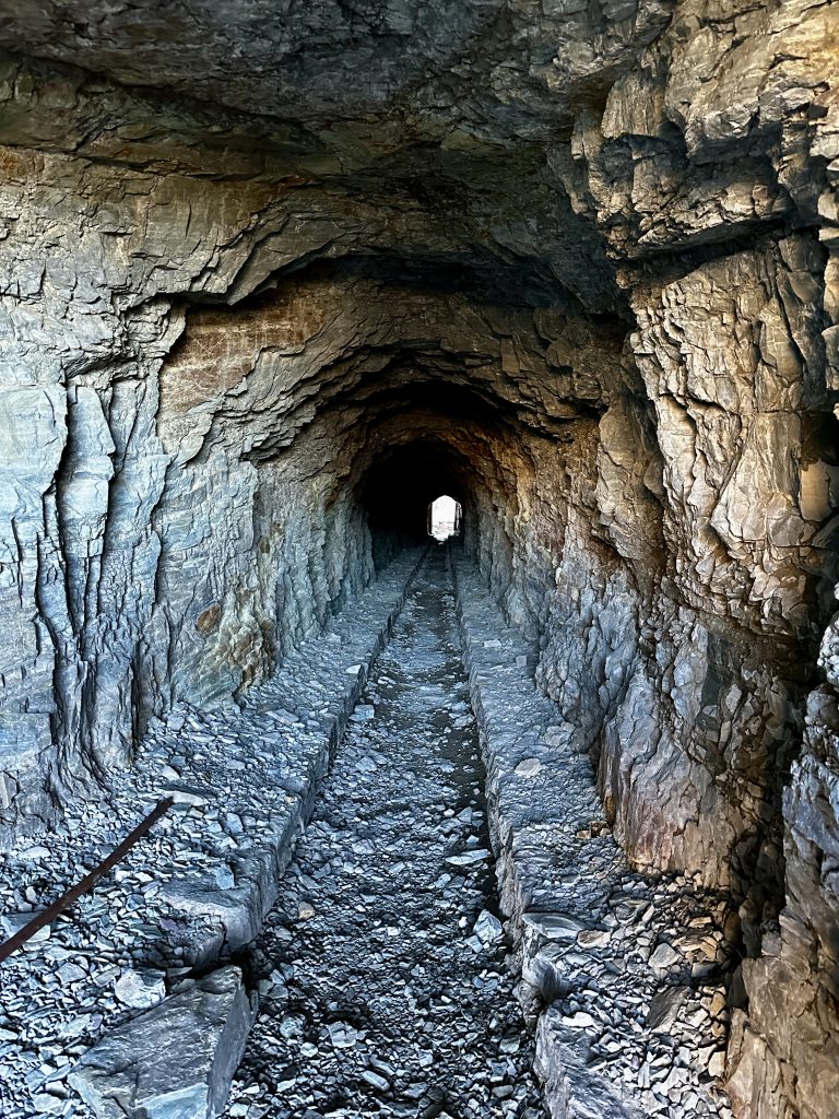
The tunnel was built in 1930 to allow passage between the Many Glacier area and Belly River valley. The tunnel is 250′ long, and was built using just two jackhammers and a few rounds of dynamite to complete the job.
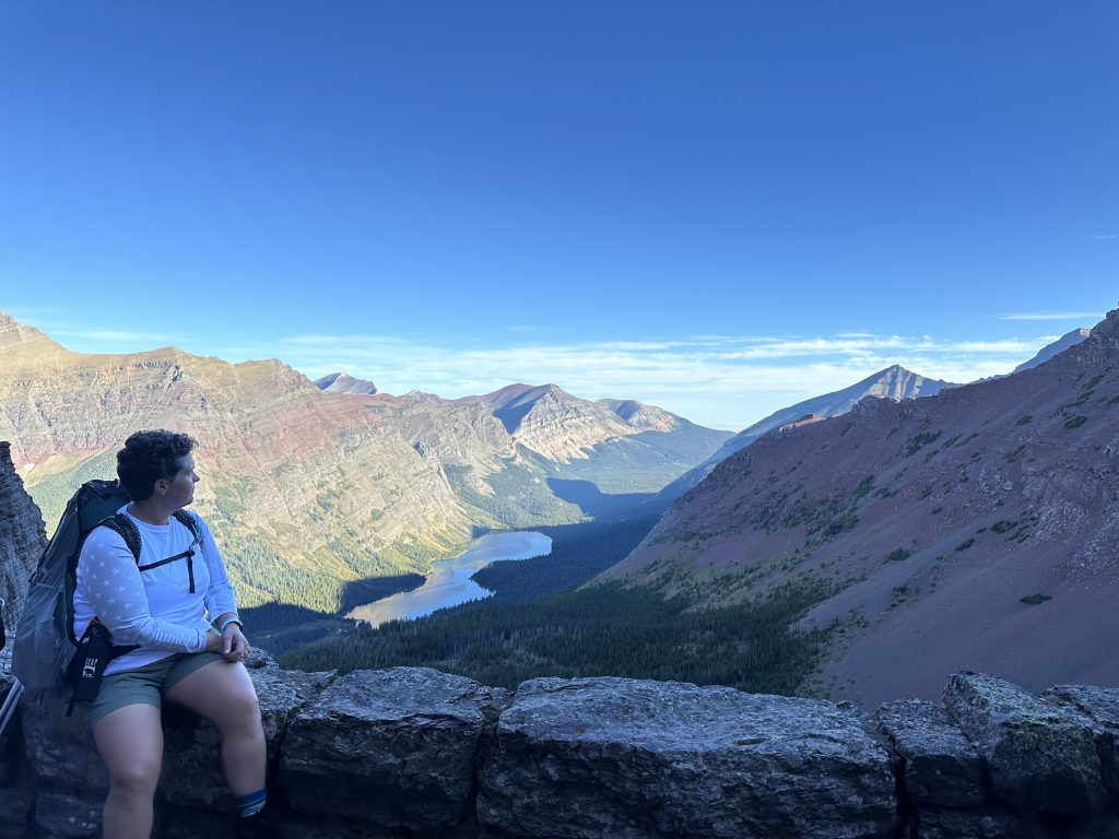
The view into the Belly River Valley! An incredible sight! When we arrived at the tunnel we met a woman that had started up the trail in the dark ahead of us and who we had caught glimpses of throughout the hike. While we explored the area we met hikers coming up from Belly River Valley. Many of them had been backpacking and camping in remote areas of the park. We talked with several of them. Hopefully, our future will allow us the opportunity to do the same.
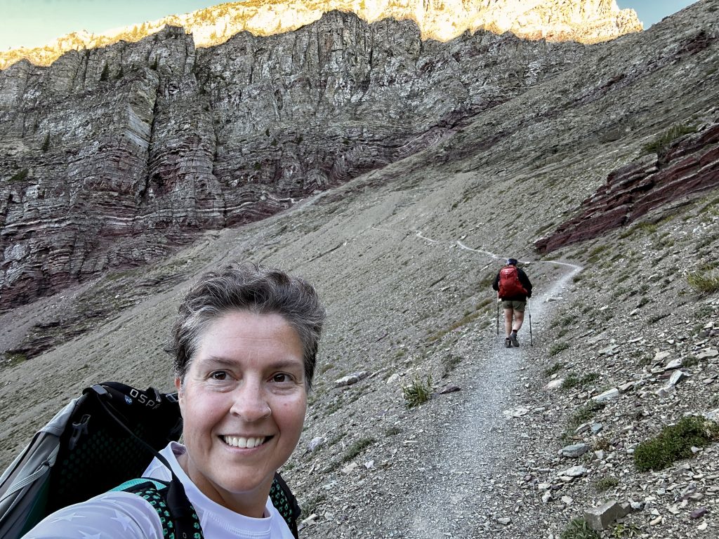
Ptarmigan Tunnel trail is 10.6 miles long with 2362′ of elevation gain, topping out at 7200′. This hike is amazing and one of my favorites.
For the Foodies
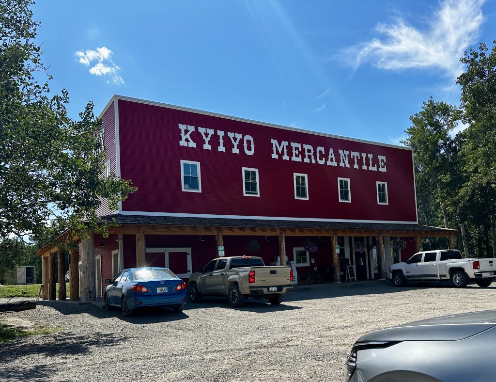
The St. Mary’s entrance to Glacier National Park has a variety of dining opportunities. For a small community, we were amazed at the choices! We try to eat a plant-based diet, primarily to help me keep my cholesterol and blood sugars in check. Because of that it is typically difficult to eat out, especially in smaller communities. Kyiyo Mercantile was recommended by several people as having the best bread and pastries. We purchased both and agreed they were delicious! Cheating here and there is wonderful!
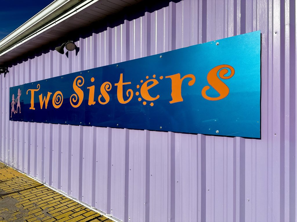
Two Sisters also came highly recommended. The restaurant is all about the food. No frills lobby and owners onsite. I had the most delicious mushroom ragout and Jess chose a vegan Cuban sandwich. Our meals were awesome and I loved the quirky look of the restaurant. Our server was a friend before we left and that’s what this place is about. Great food and being treated like family in a casual environment.
St. Mary Village
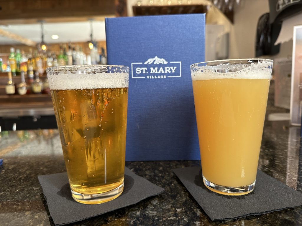
Our first day in Glacier we discovered the restaurant at St. Mary Village. It had been a long day and we decided sitting at a bar letting someone else do the cooking, (and the dishes) was just what we needed. We were excited to see many veggie appetizers and a plant-based burger on the menu. Our buffalo cauliflower was delicious, we drank local Montana craft beers and enjoyed our burgers.
There is also a restaurant at Johnson’s of St. Mary RV park, Rising Sun Pizza, Bad Frog Cantina, Curley Bear Cafe & Pizza, and Park Cafe and Grocery. In addition, there are many restaurants in the lodges in the park. I apologize if I have missed any other establishments, the places we visit were because they had plant-based options beyond a simple salad. There are some alcohol serving restrictions within the reservation areas. Call ahead if this is a concern, the restaurant will know the rules.
Siyeh Pass
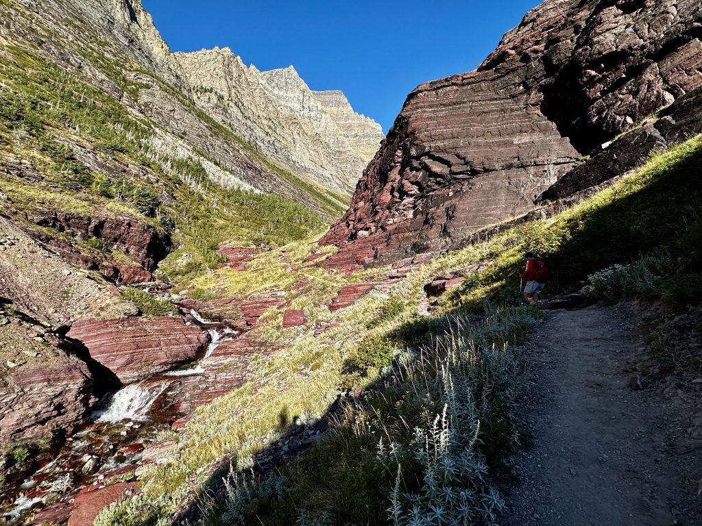
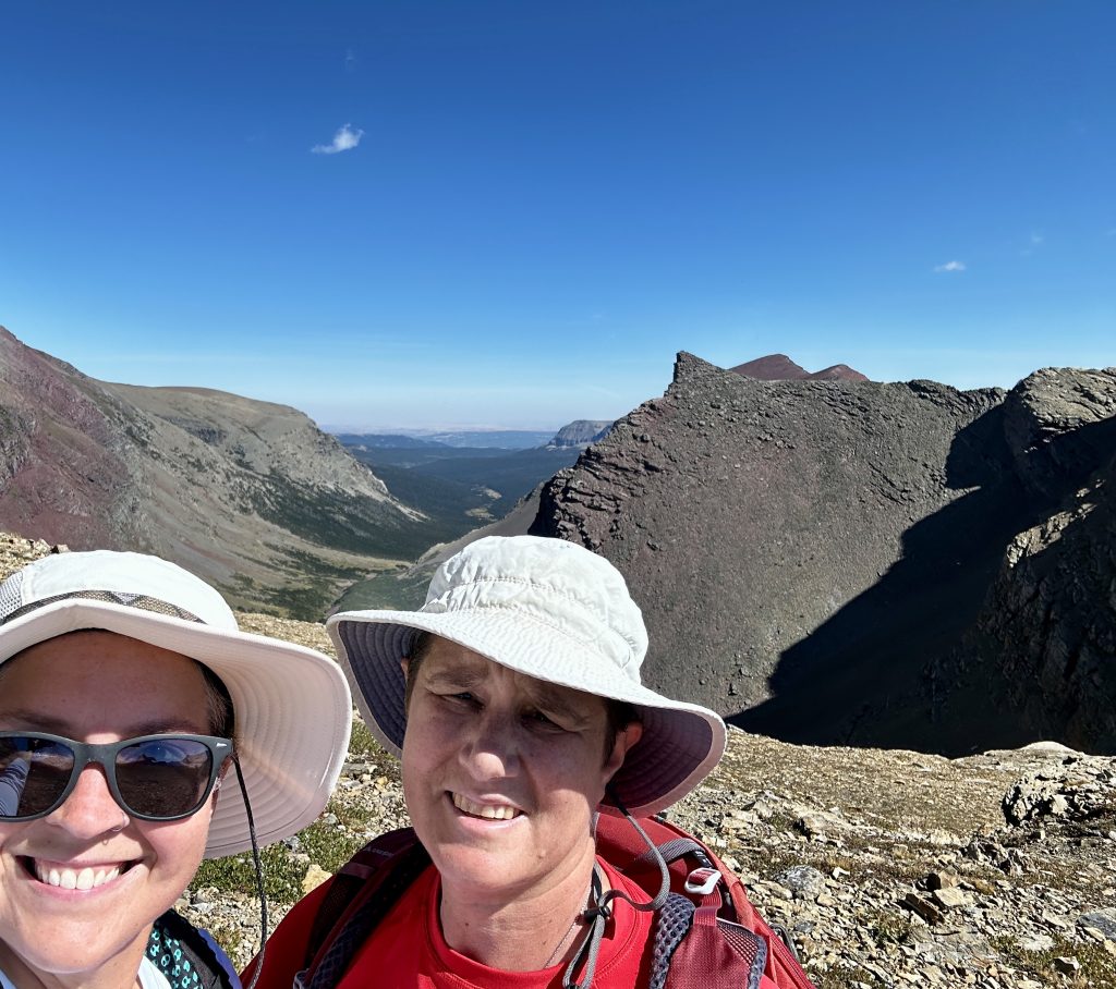
Just one of the many beautiful views along Baring Creek above. Siyeh pass trail is one-way and can be hiked in either direction. It will require transport back to your starting location. This was the most difficult hike we completed on this trip to Glacier and one I knew would test my mind and body. Siyeh Pass elevation is 8100′ the highest elevation we have climbed to in about two years.
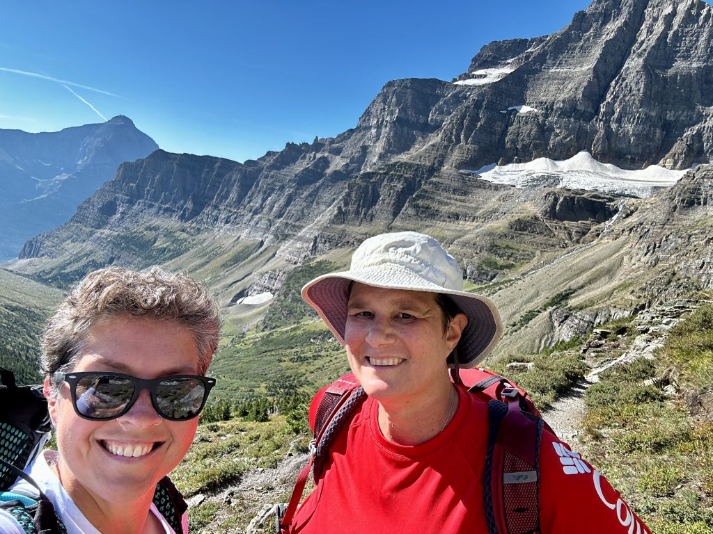
We like to hike up more than we like to hike down, I know it sounds crazy, but years of hiking takes its toll on joints, especially knees. Hiking east to west requires a climb of 3575′ compared to only 2275′ if you hike west to east because of the higher starting elevation. The trail is popular, however we saw no one else hiking in this direction. Because of limited parking at the Sunrift Gorge parking area, which provides access to many trails, we ended up parking at Sun point. This added an additional half mile to our journey but was worth it. At the end of the hike at Siyeh Bend we would take the free shuttle Glacier provides back to our car.
From St. Mary Lake the trail follows the incredible valley along Baring Creek. As the trail steadily traverses the long slopes of the valley we quickly gained elevation. We saw the Sexton glacier just a mile into the hike and eventually climbed above it. Many switchbacks made the climb comfortable and allowed us to look around and enjoy the scenery without fear of falling off the mountain.
The Pass
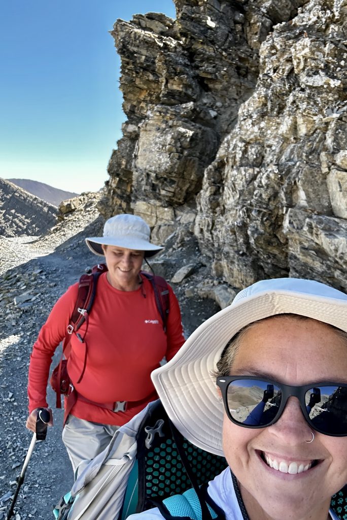
As we approached the pass, the real climbing began. The type of climbing which isn’t about the physical it’s all about the mental. The long traverses along vegetated valleys morphed into rocky climbs around cliffs and sheer drop-offs in the ravine of the pass. The trail steepened with shorted switchbacks and irregular footing. As we reached this point we began to see hikers who had started in the other direction, already beginning their descents.
Elevation has never been my friend. As much as I want to be in these places my body does all it can to dissuade me. It’s a struggle to breath and usually makes me sick to my stomach (often leading to some interesting situations on the above tree line, exposed trails), however its also my happy place and worth the discomfort. Jess is a huge help, when she sees me starting to struggle, somehow she picks me up and helps me find that extra strength, I need to reach our goal. We made it! Well halfway at least.
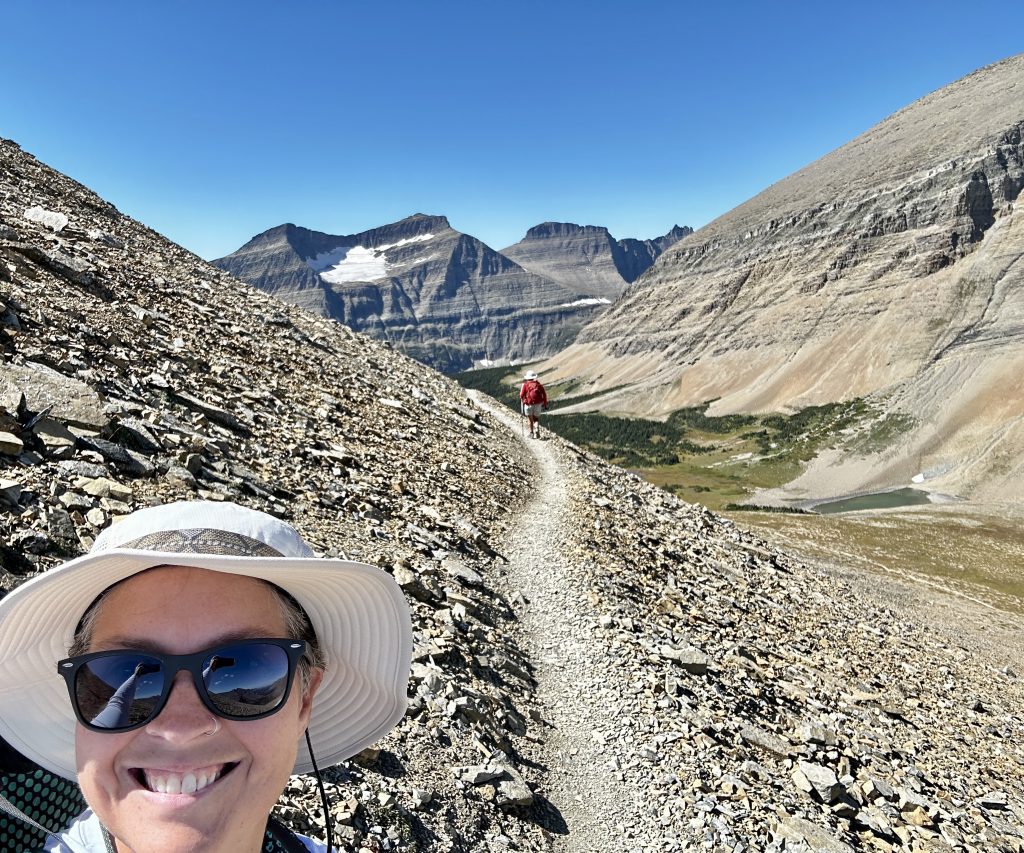
A little lunch and some water, and I started to feel much better, re-energized and ready to begin our descent. The pass is beautiful with wonderful views towards the Many Glacier area. The trail down begins with many switchbacks along an enormous scree field to the valley below. We passed by so many hikers who were still climbing to the pass. I was happy we decided to “take the road less traveled” and hike the extra elevation.
Preston Park

This is Preston Park the beautiful U-shaped valley known for its wild flowers. There are several small ponds and mountain creeks including Siyeh creek. You’ve already heard about our grizzly encounter. It was in this valley just as we were reaching our final descent into it. Still a few miles to the end of our hike.
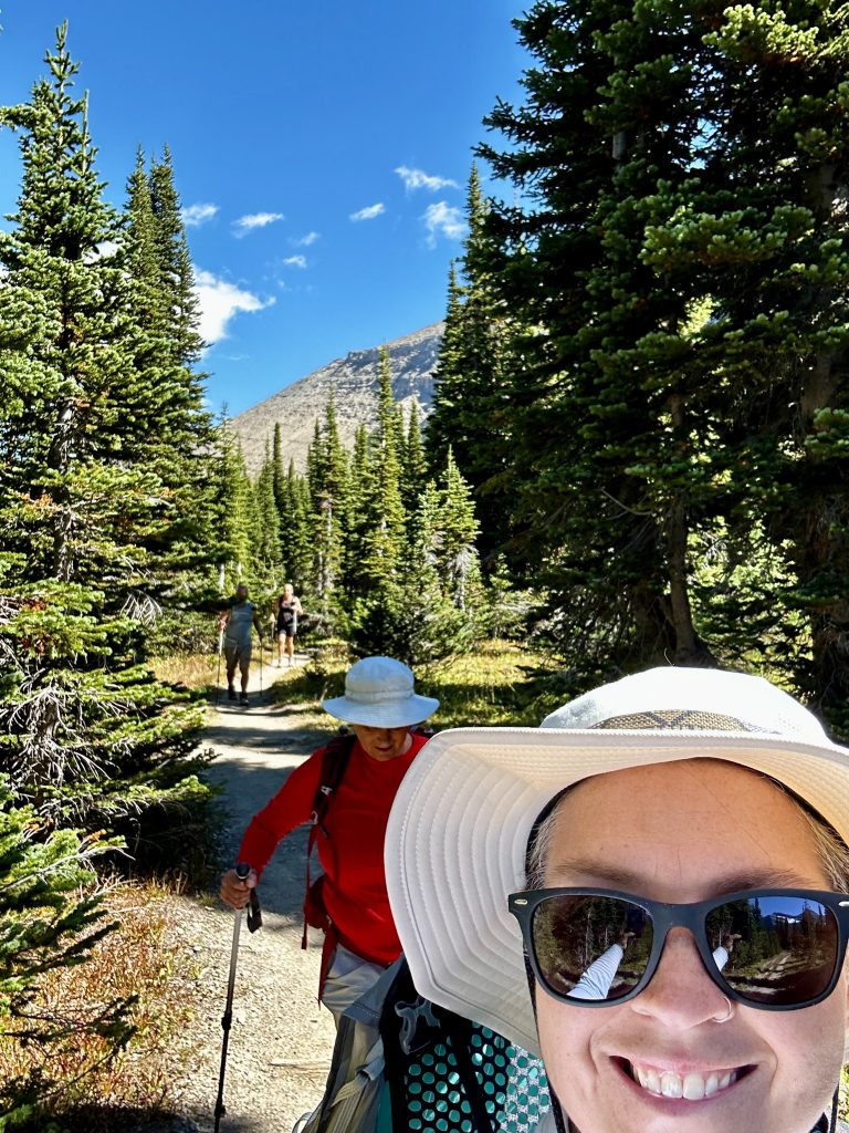
Every thing about this hike was awesome! The challenge, the views, the friends we hiked with (not often we get to hike with friends), and the wild things we had the privilege of seeing. It’s days like this, which fuel our desire to explore and challenge ourselves. Each time we complete a big hike, there is a sense of accomplishment and a desire to hike another bigger hike. I know crazy, but also exhilarating! Hopefully, we will be able to visit again, until then. For additional information about Glacier National Park make sure to view the following blogs: Glacier National Park A Snap Shot Part 1, Video of the week: Ptarmigan Tunnel, and Video of the week: 3 Falls Hike. Live Simple Live Happy